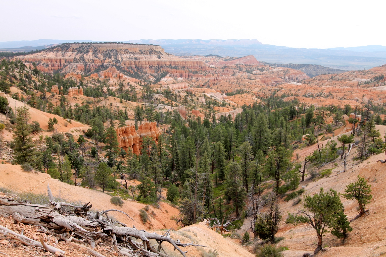
It was a cloudy morning; therefore, Dave and I didn’t have a chance to enjoy the beautiful sunrise colors this time. Luckily, Bryce looks gorgeous at any time. A view from Sunrise Point.
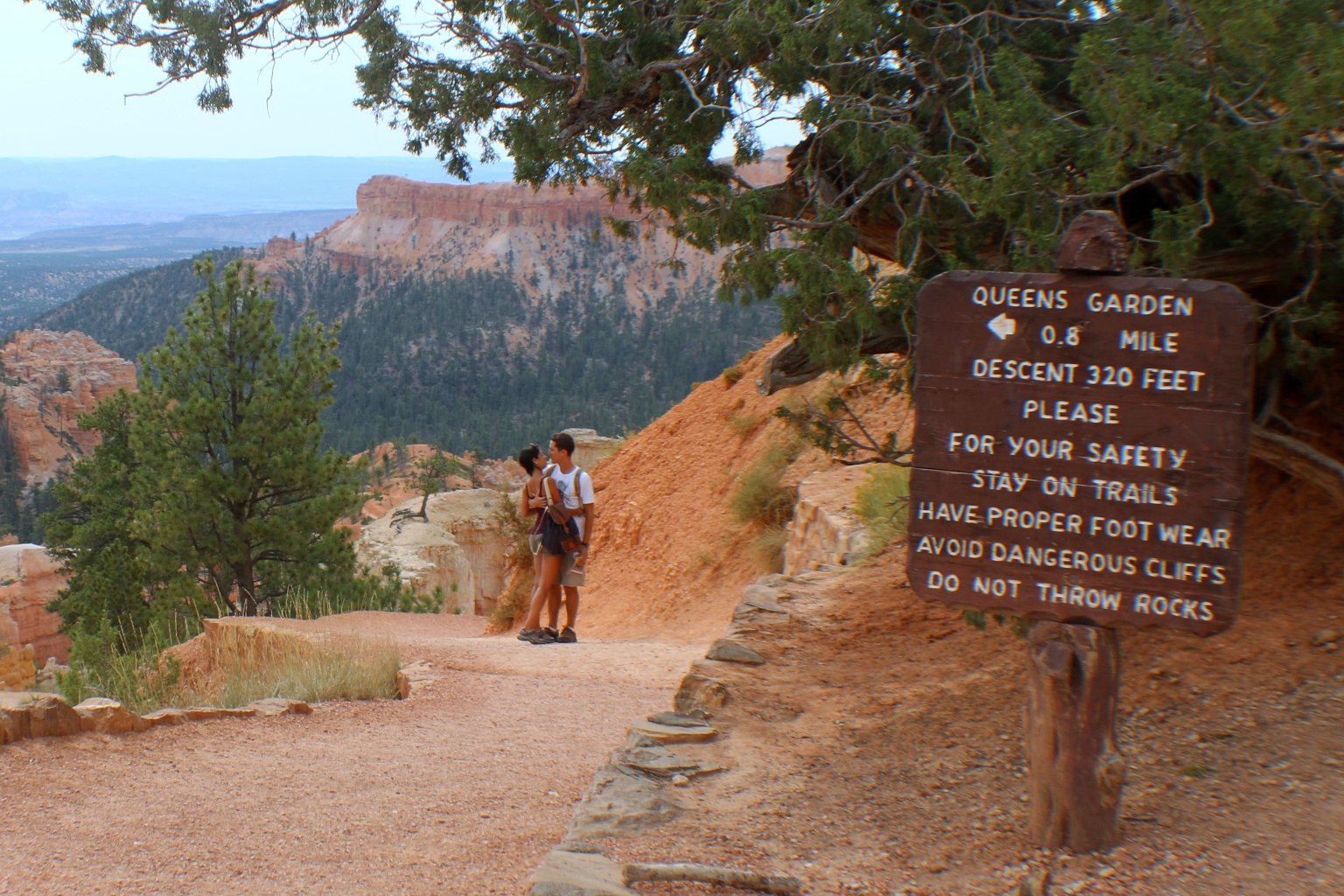
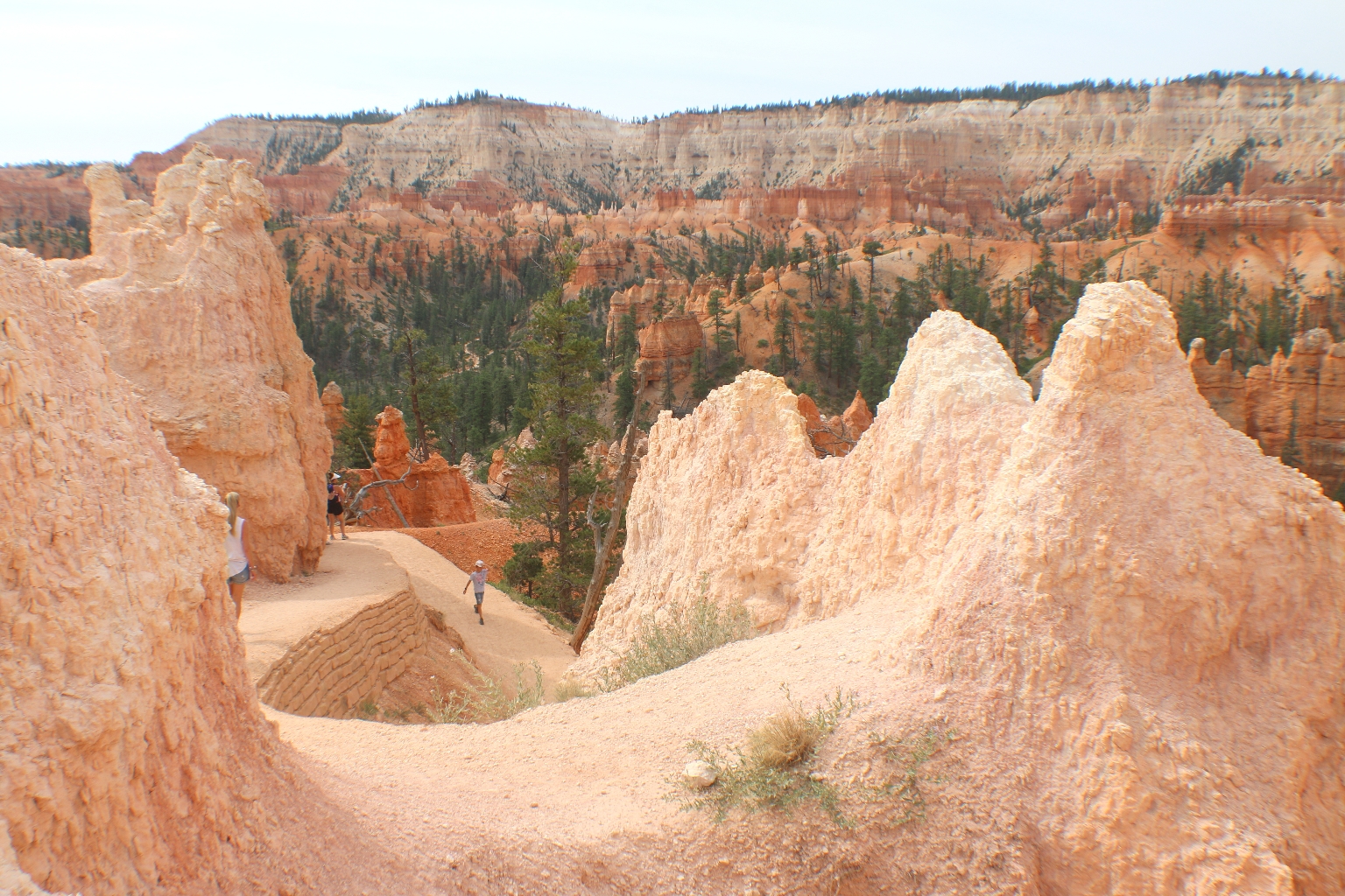
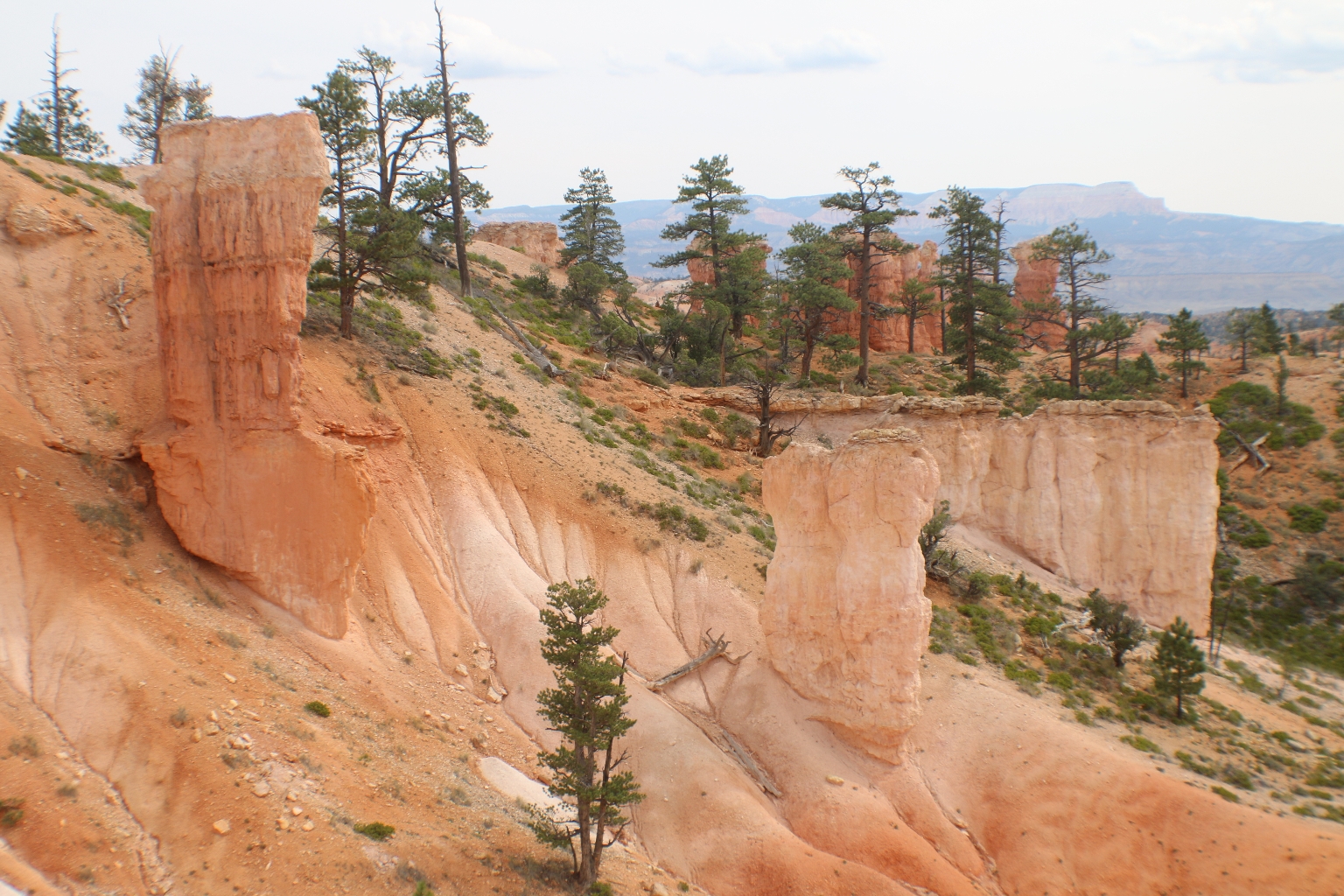
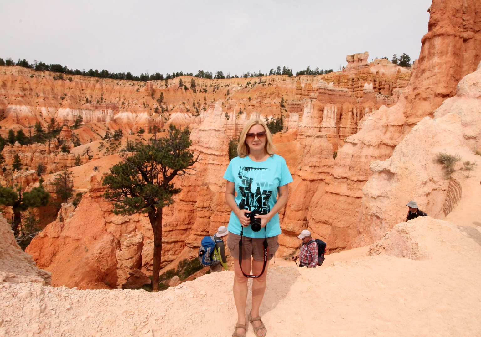
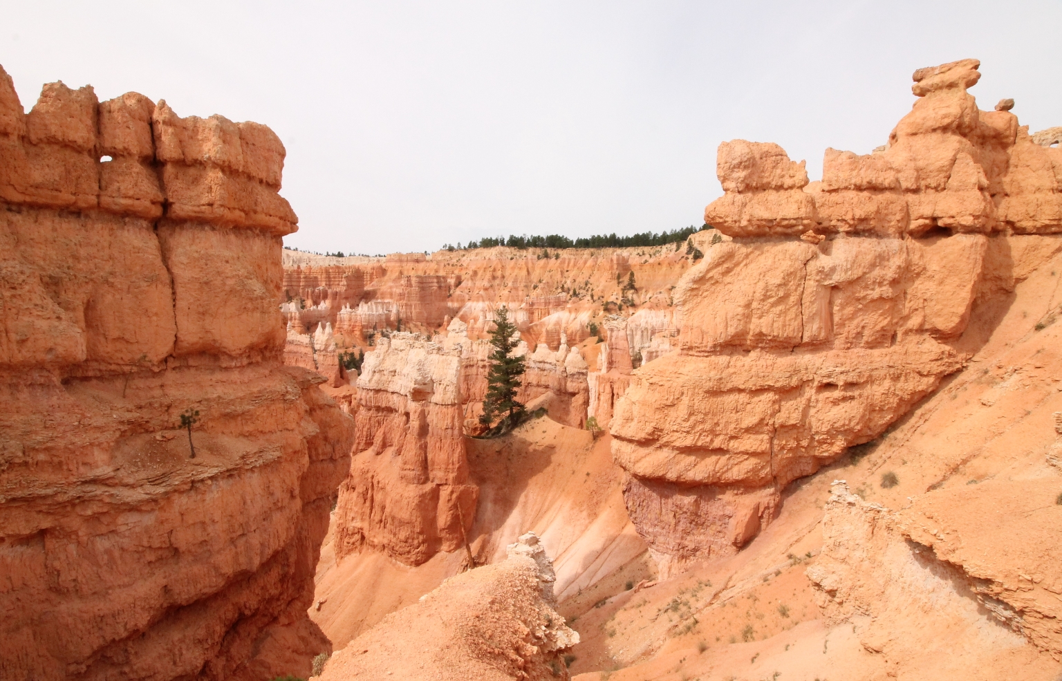
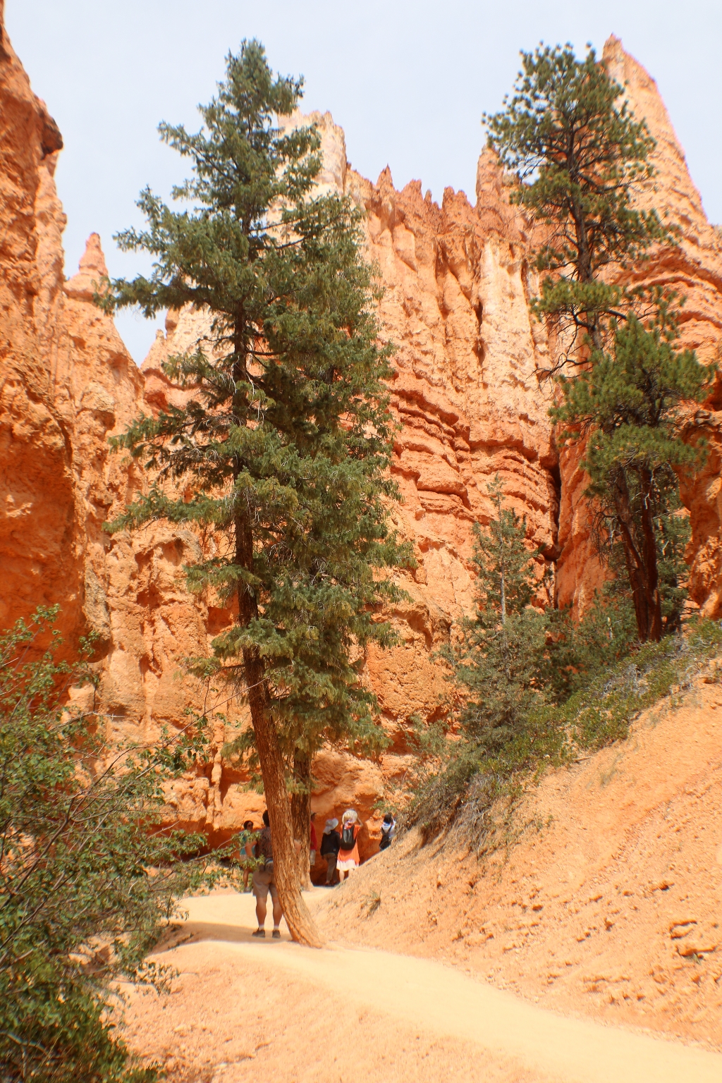
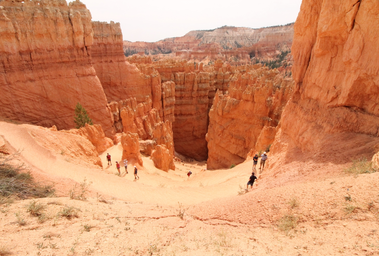
Today, we decided to explore some canyon trails. We started with the Queens Garden Trail, which begins at Sunrise Point on the canyon rim and drops 320 vertical feet down, making a series of twists and turns among the hoodoos. Hoodoo – a pillar of rock, usually of fantastic shape, left by erosion. The Queens Garden trail provides great views of strangely shaped rock formations, but the most interesting ones are the Queens Castle and Queen Victoria.
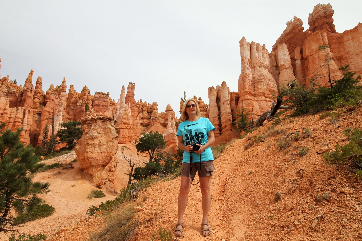
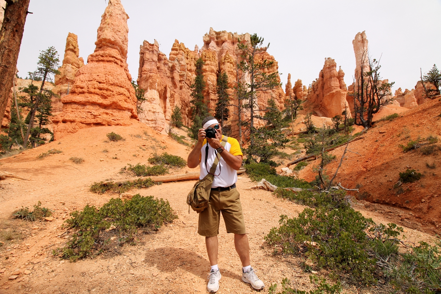
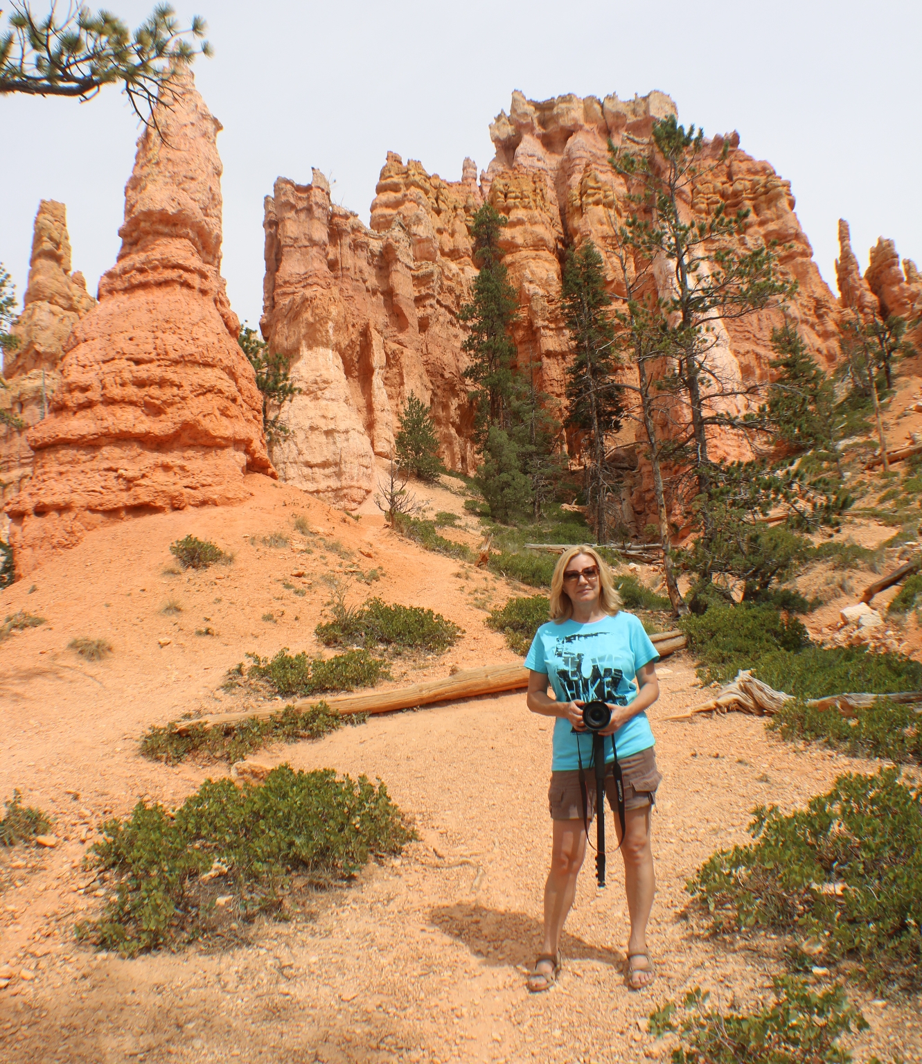
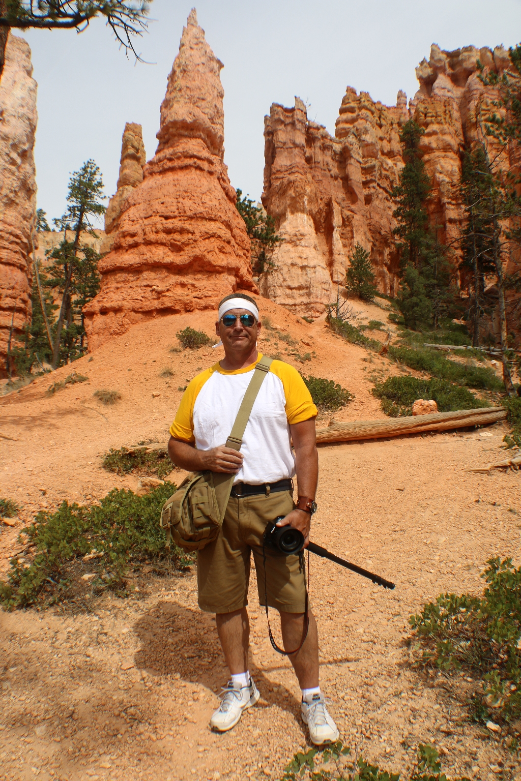
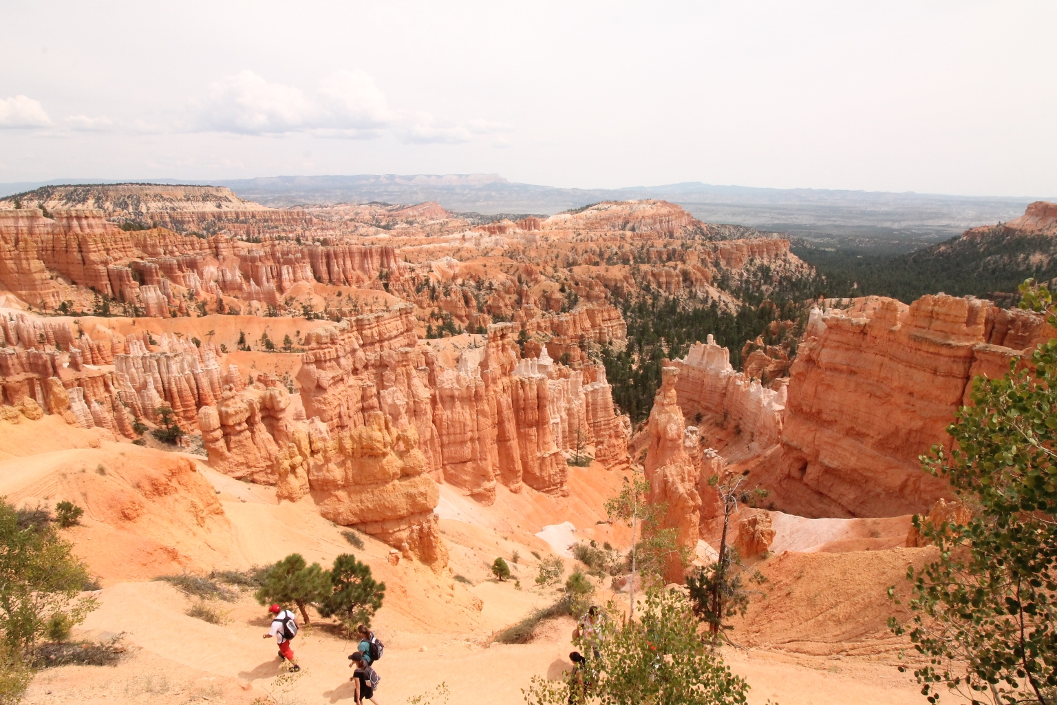
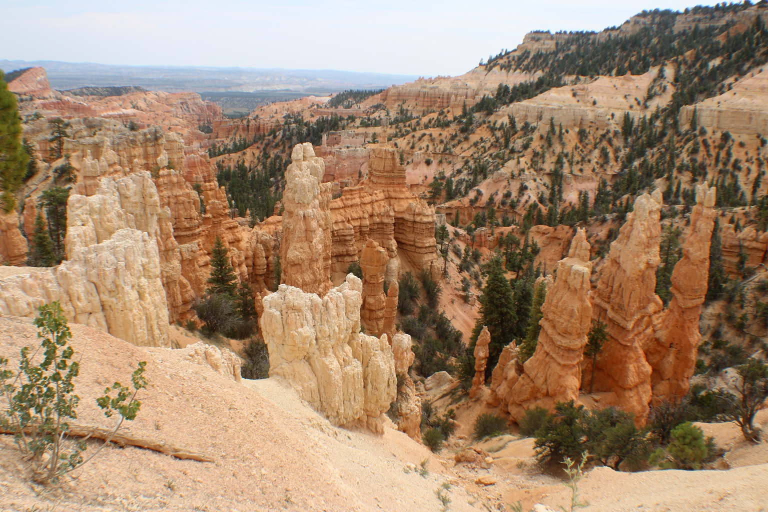
This hike is hands down the best way to see the hoodoos of Bryce Canyon. The views from the rim area are stunning, but we experienced an entirely different Bryce Canyon from the canyon floor while looking up at the hoodoos.
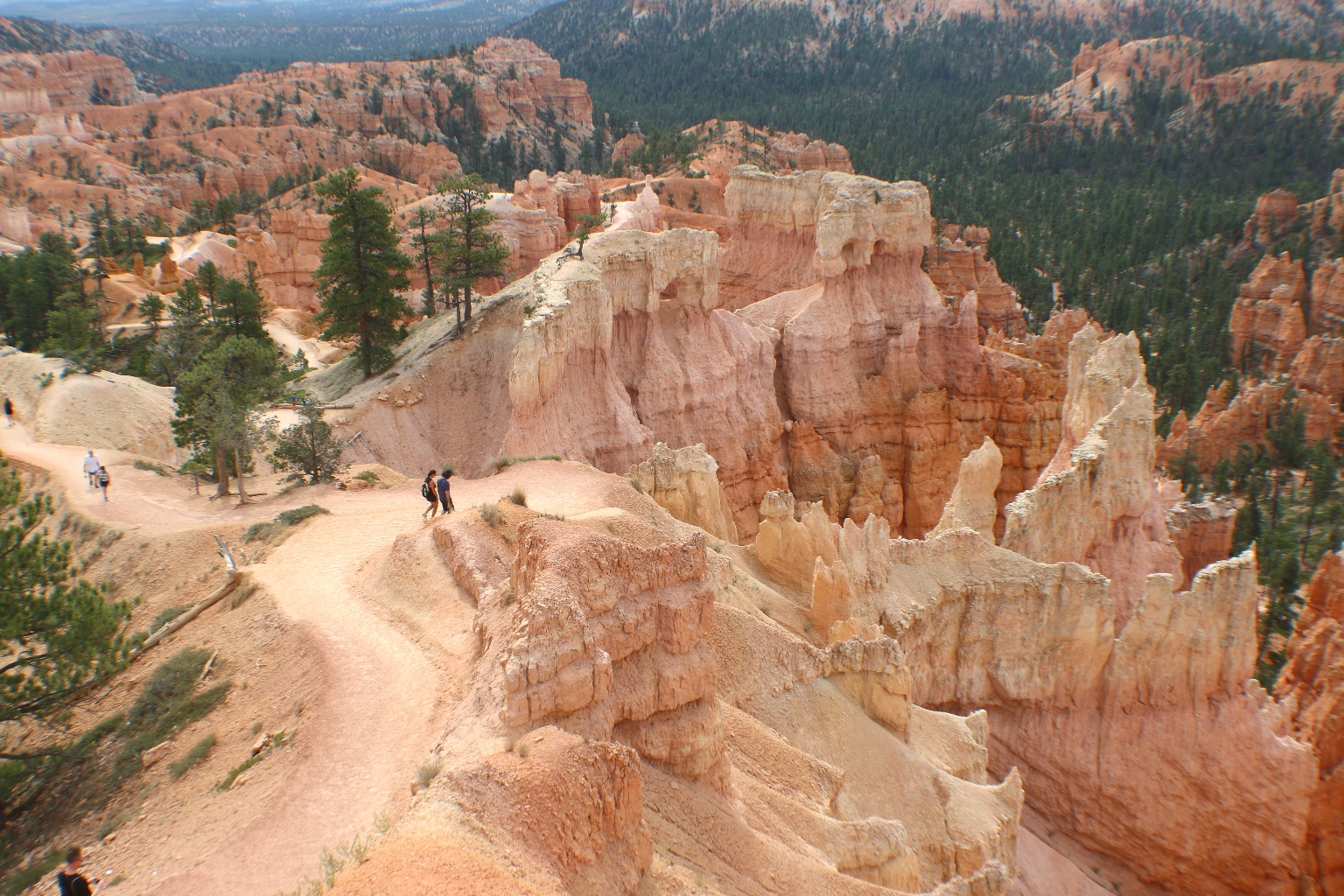
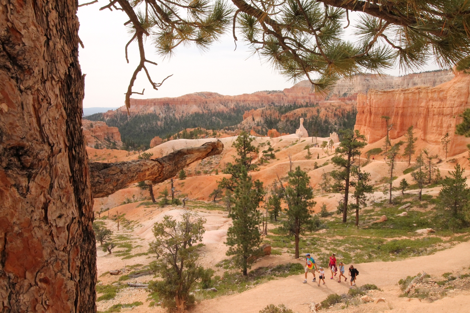
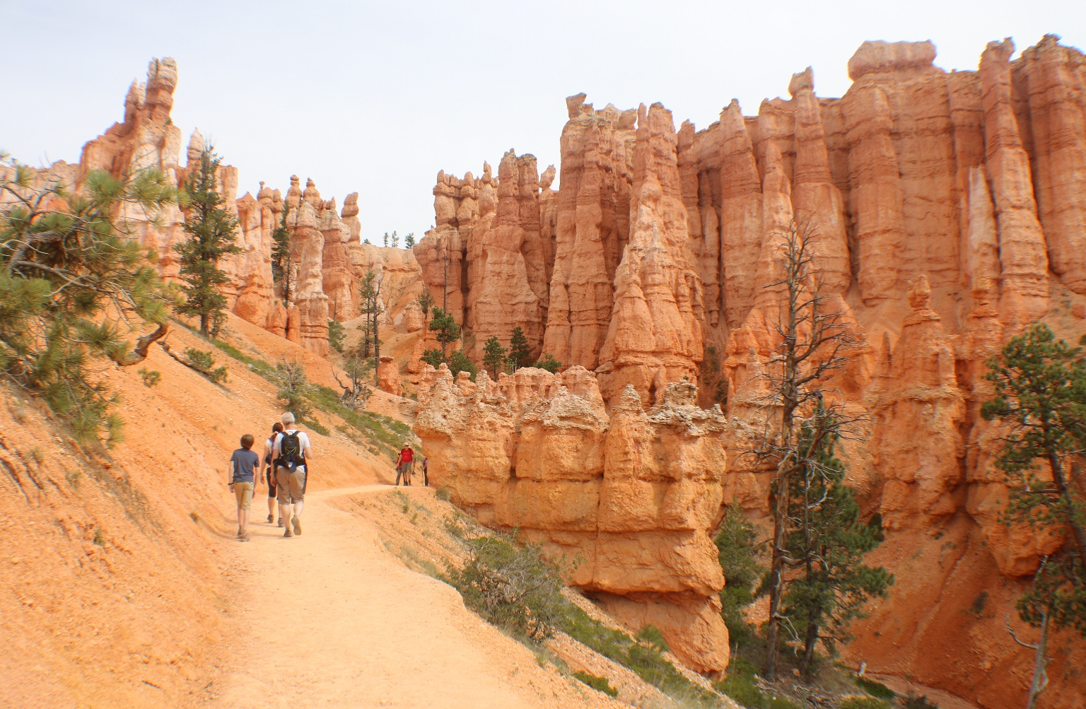
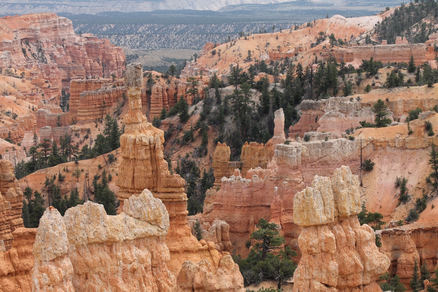
The remainder of this amazing hike is no less spectacular than the start, winding through ever more sculptured spires and colorful pinnacles, passing through picture perfect tunnels, each turn in the trail bringing yet another fantastic view of the Bryce Amphitheater.
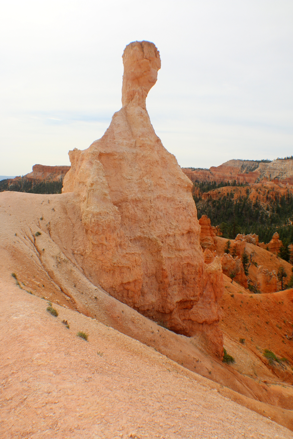
Light colored hoodoos are on the Queen’s Garden trail.
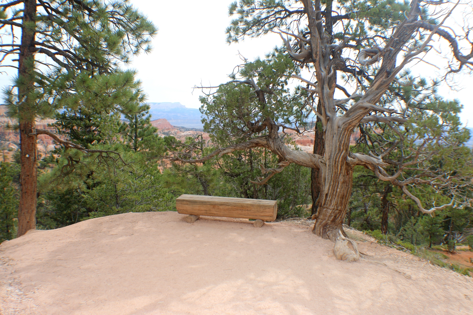
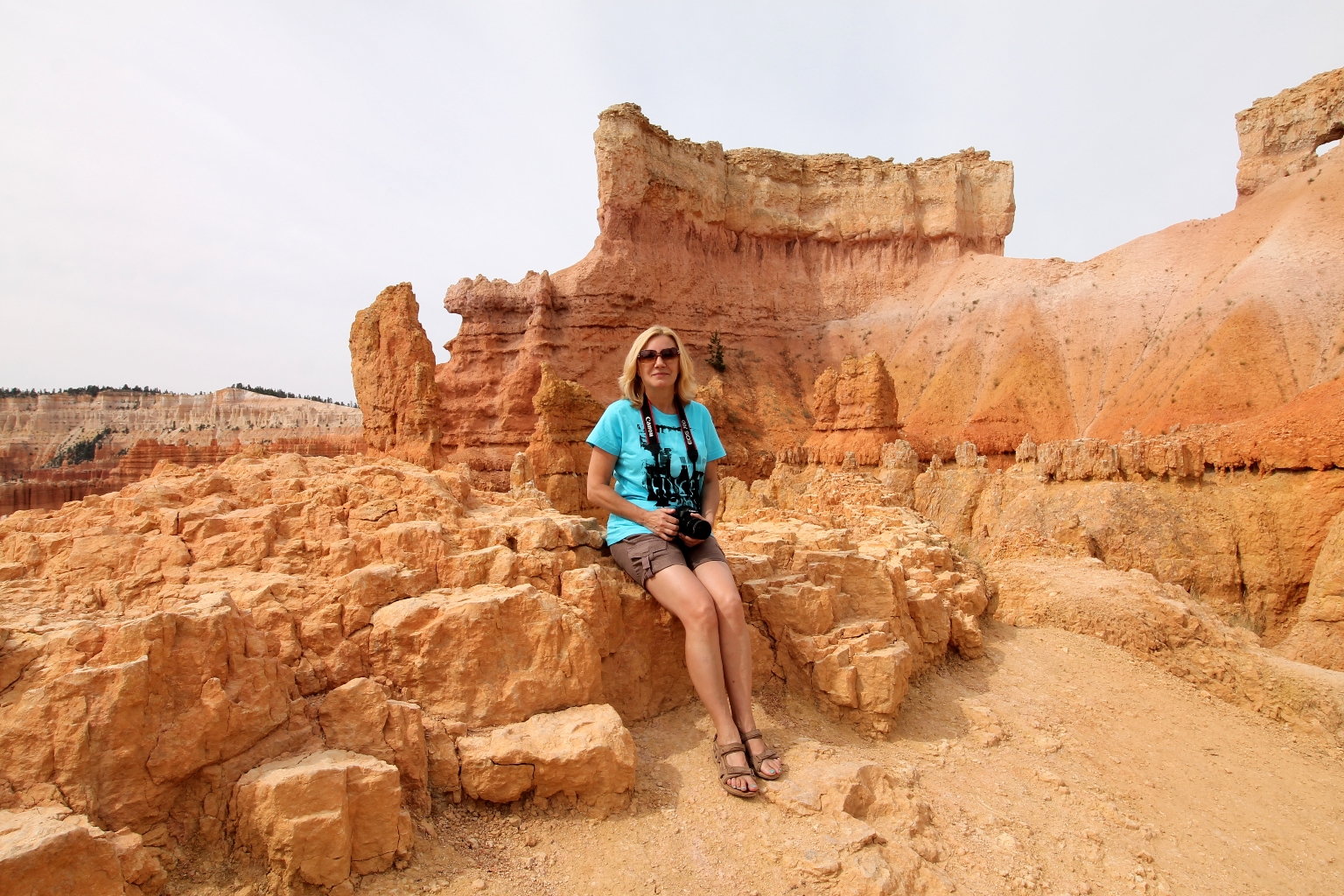
A cute bench matches perfectly the surroundings.
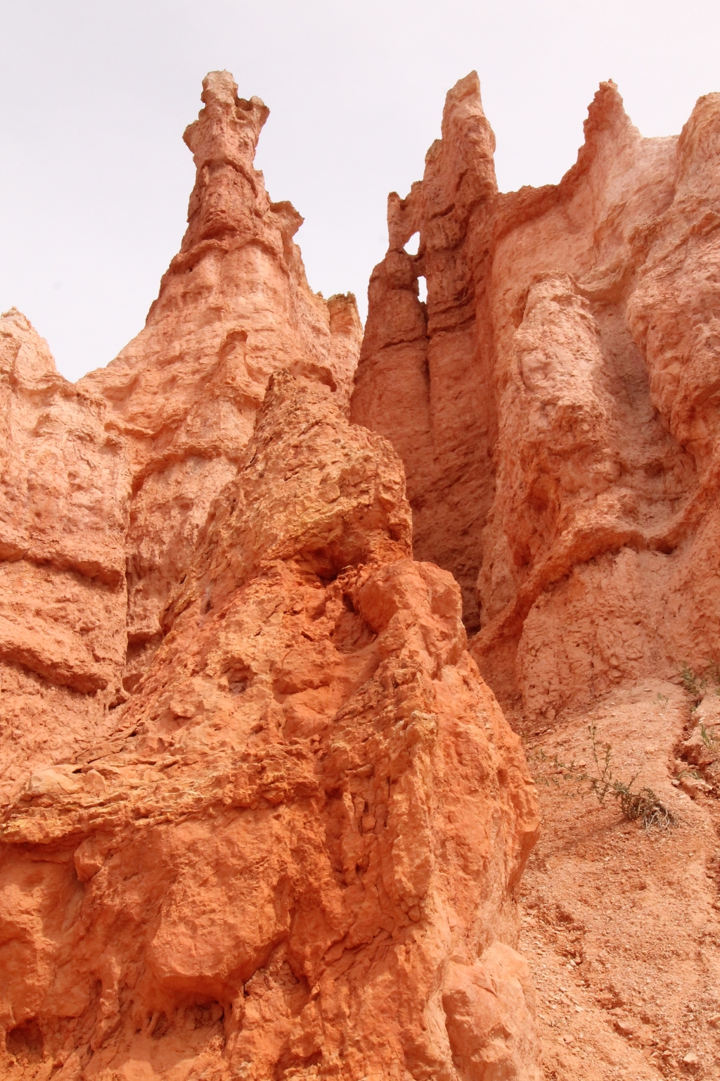
There’s no other place with all those spires of red, pink and white rocks, called hoodoos. From the top of that canyon that gives the park its name, the hoodoos create patterns that look like mazes within mazes.
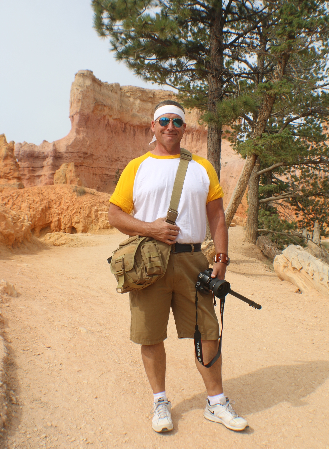
We were so glad that we did some hiking. The hike is the best way to see these amazing hoodoos up close.
Although some parts of the hike are pretty steep.
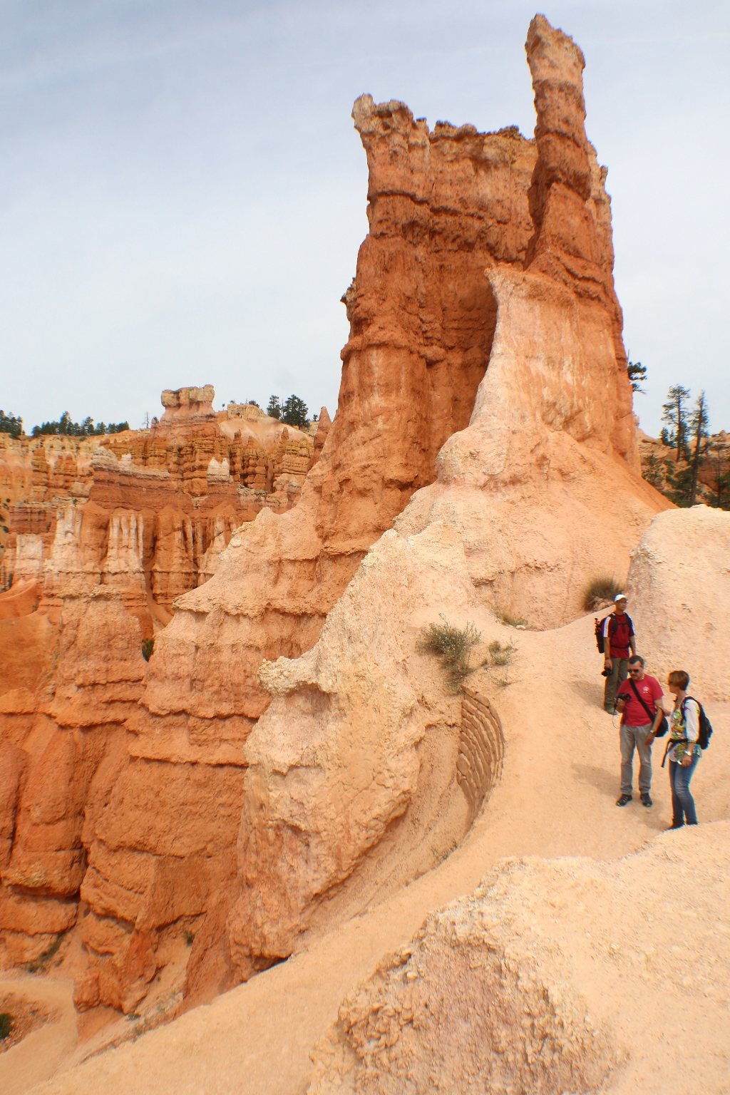
Before reaching the Queen Victoria formation at the end of the trail, we saw a different hoodoo, that resembles the Queen Victoria as well. One can say that the Queen is overlooking her subjects.
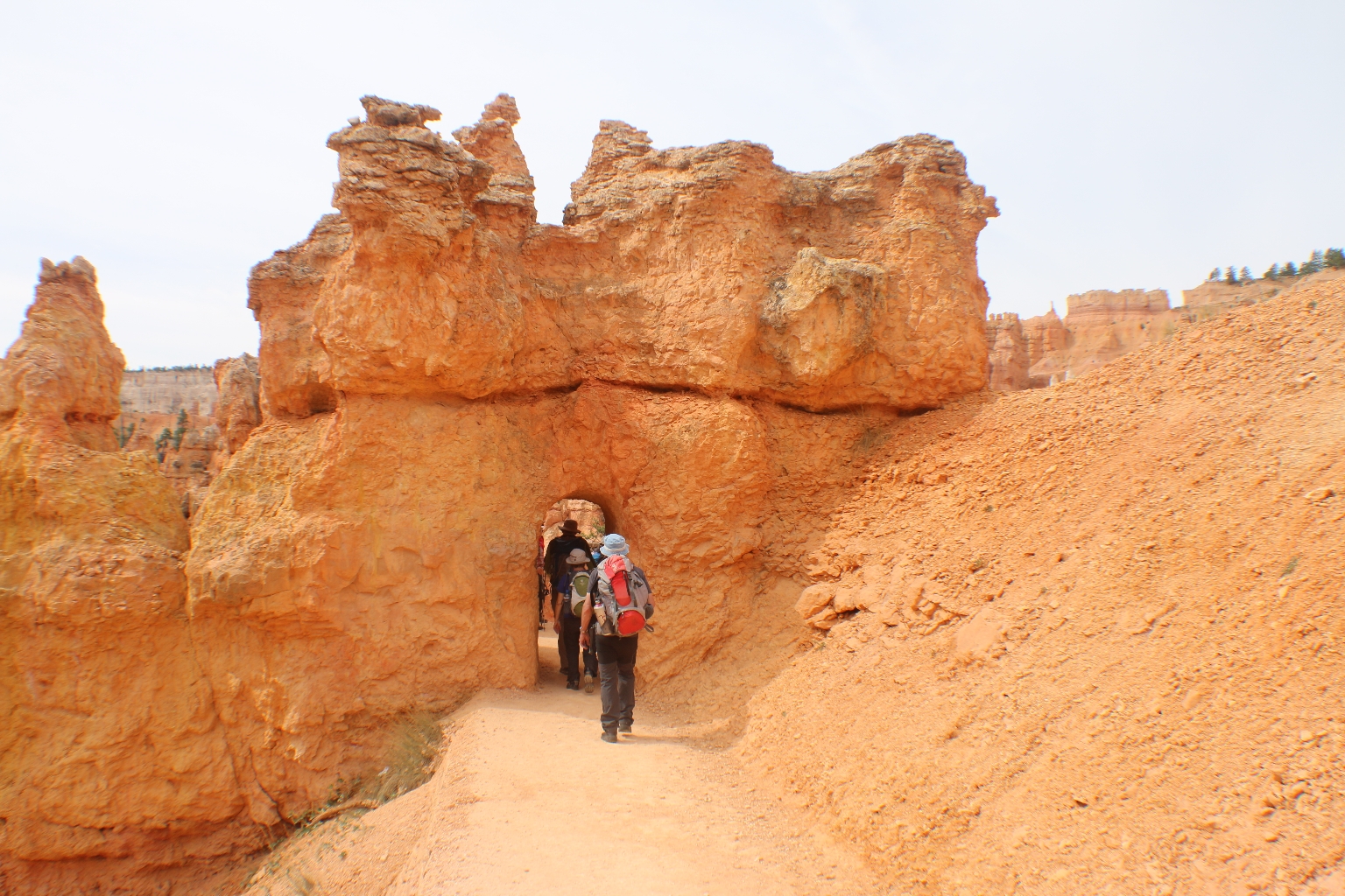
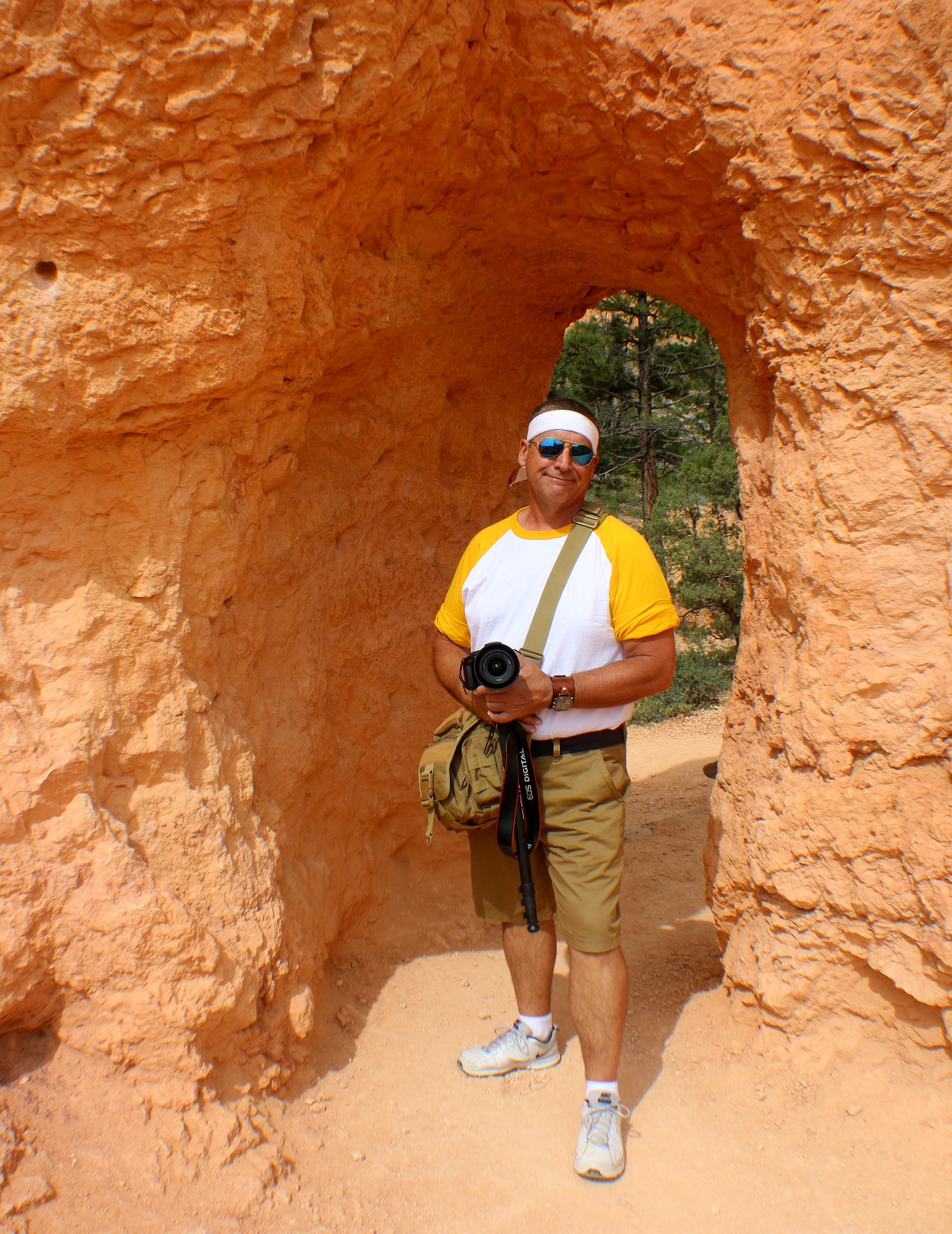
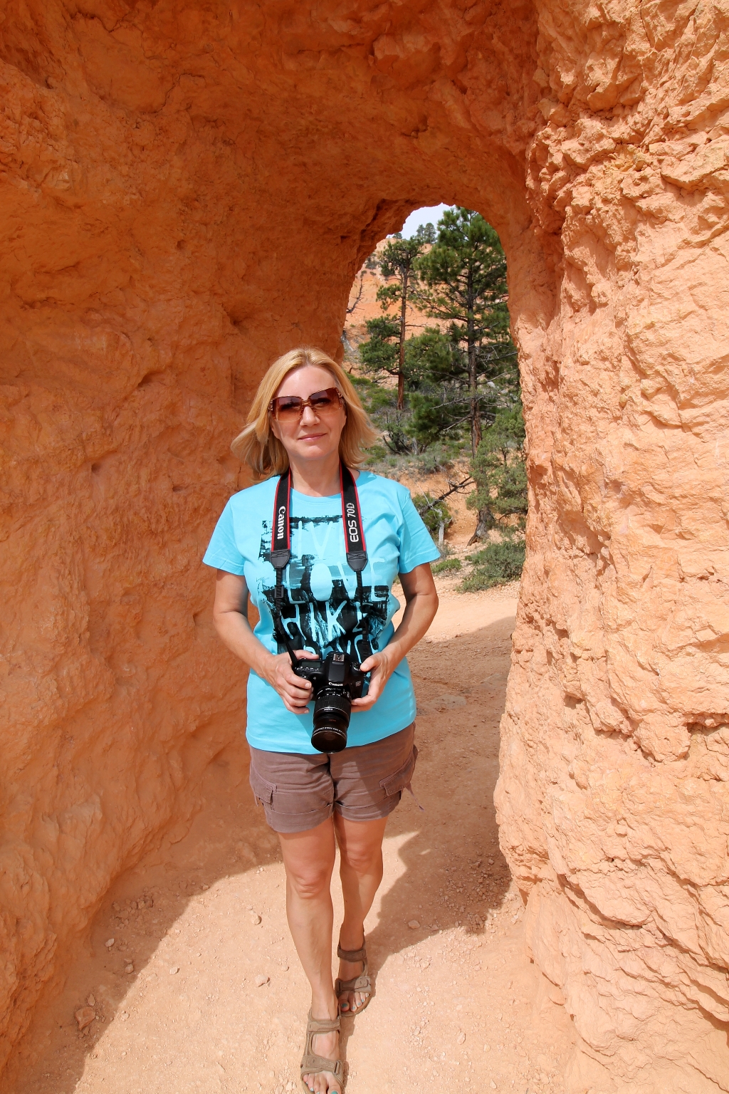
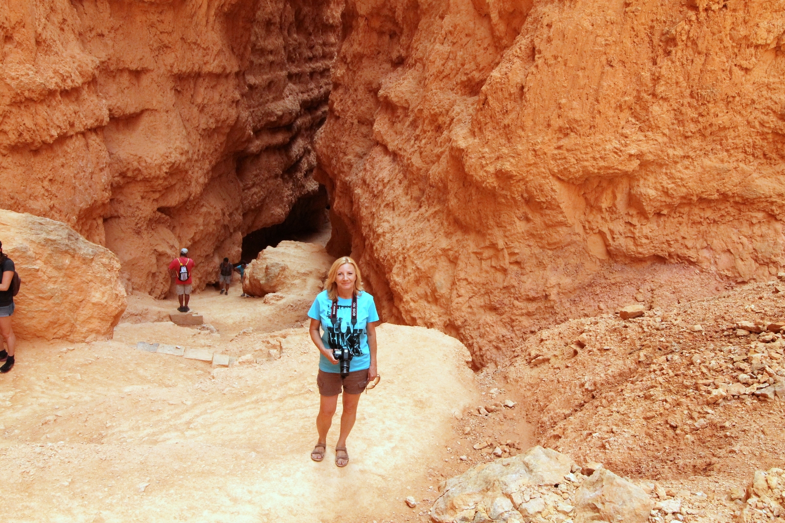
The trail goes through 3 different man-made tunnels.
And through the clusters of hoodoos.
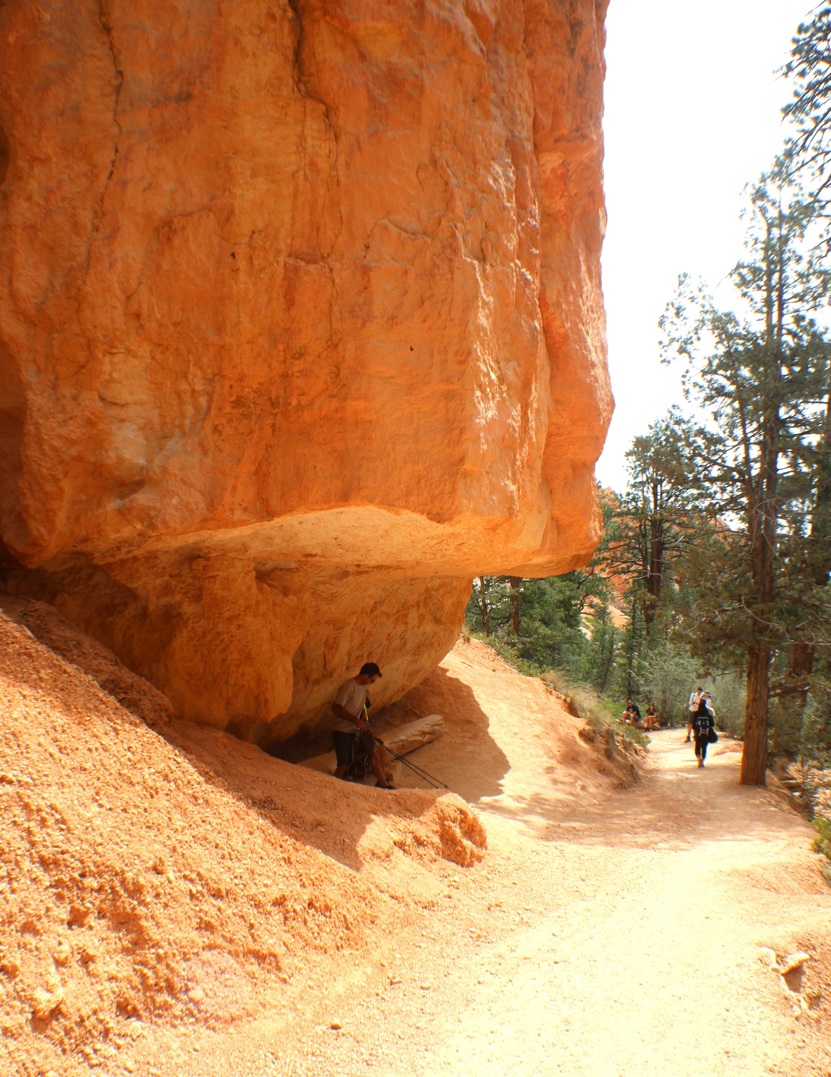
And under the enormous rocks.
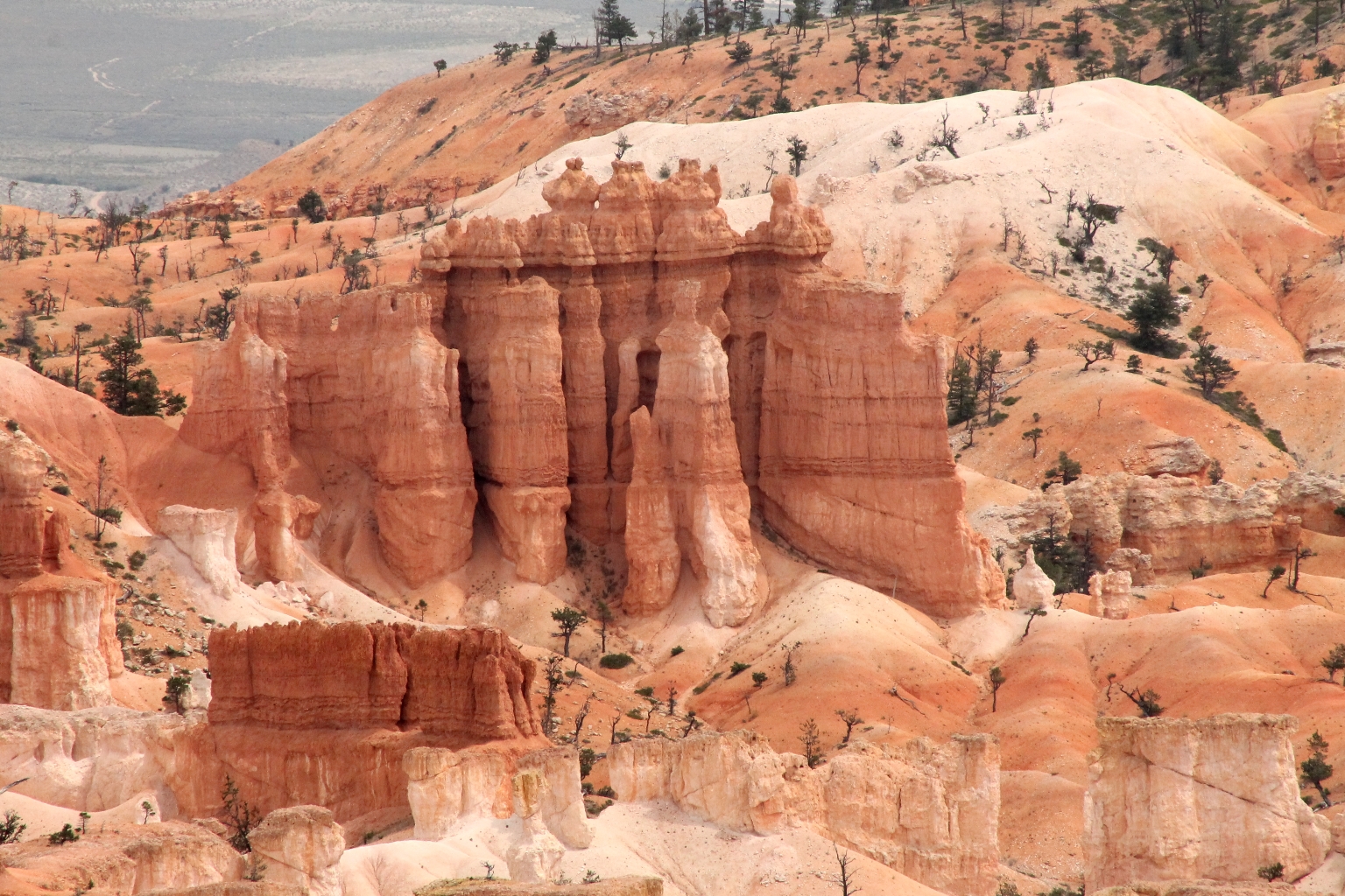
Following the trail, we were able to see some windows. The windows are created in the intermediate stage of the rock erosion. Hoodoos go through several stages. First they start as plateaus and water erodes away the sides until they become fins. Once they become fairly skinny, holes will erode in the middle of them, creating a window. Finally, after more erosion, the top of the windows will break away leaving a hoodoo in its place. In Bryce, most erosion occurs from “frost wedging”. Rain seeps into cracks of the rocks, and when the temperature drops the water freezes and expands, which creates larger cracks in the rocks.
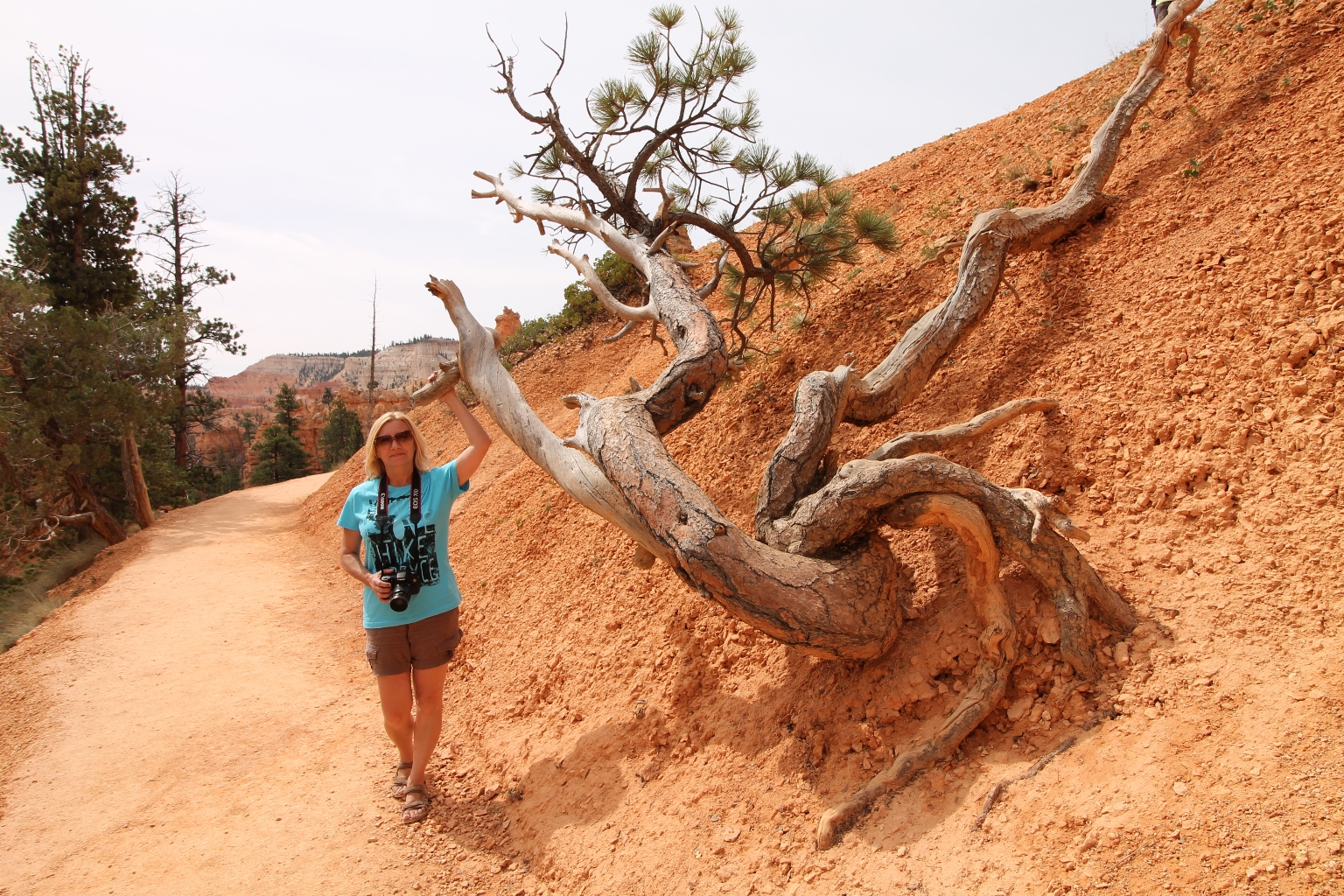
We saw interesting shaped trees while walking down the trail. Here is one of them.
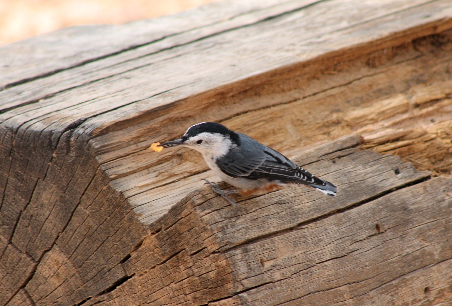
Here is one of the canyon’s habitants – a Violet-green Swallow.
At the end of the trail, we arrived at the Gueen’s Garden.
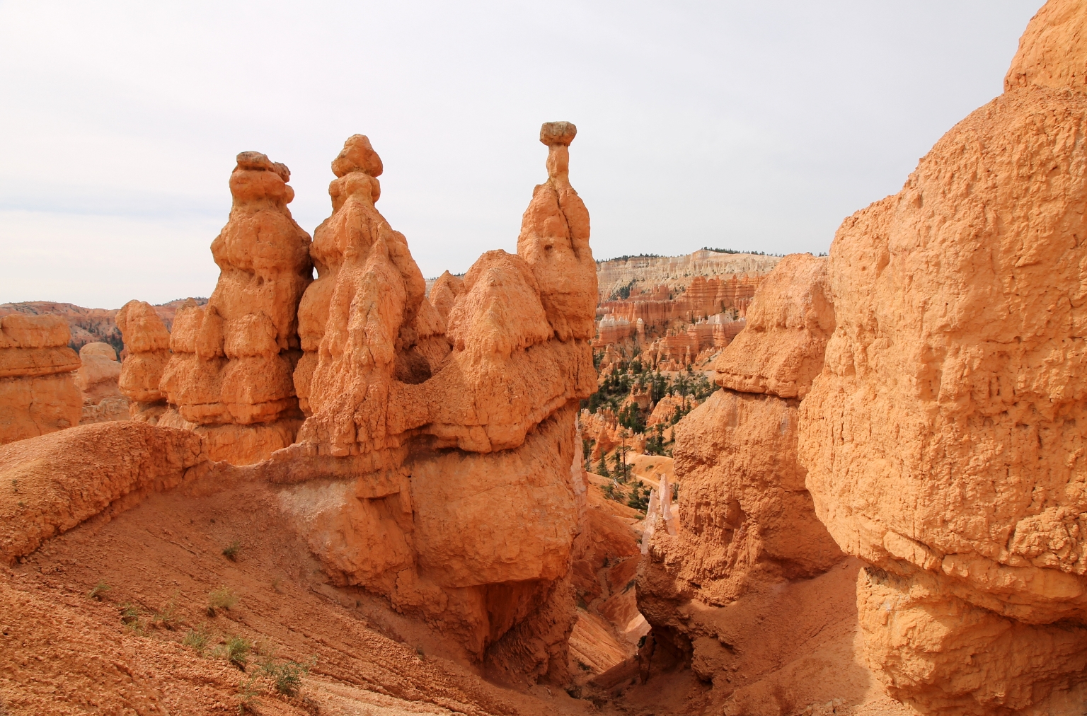
The sign here helps to find the Queen Victoria Hoodoo. It requires some imagination to identify this hoodoo. 🙂
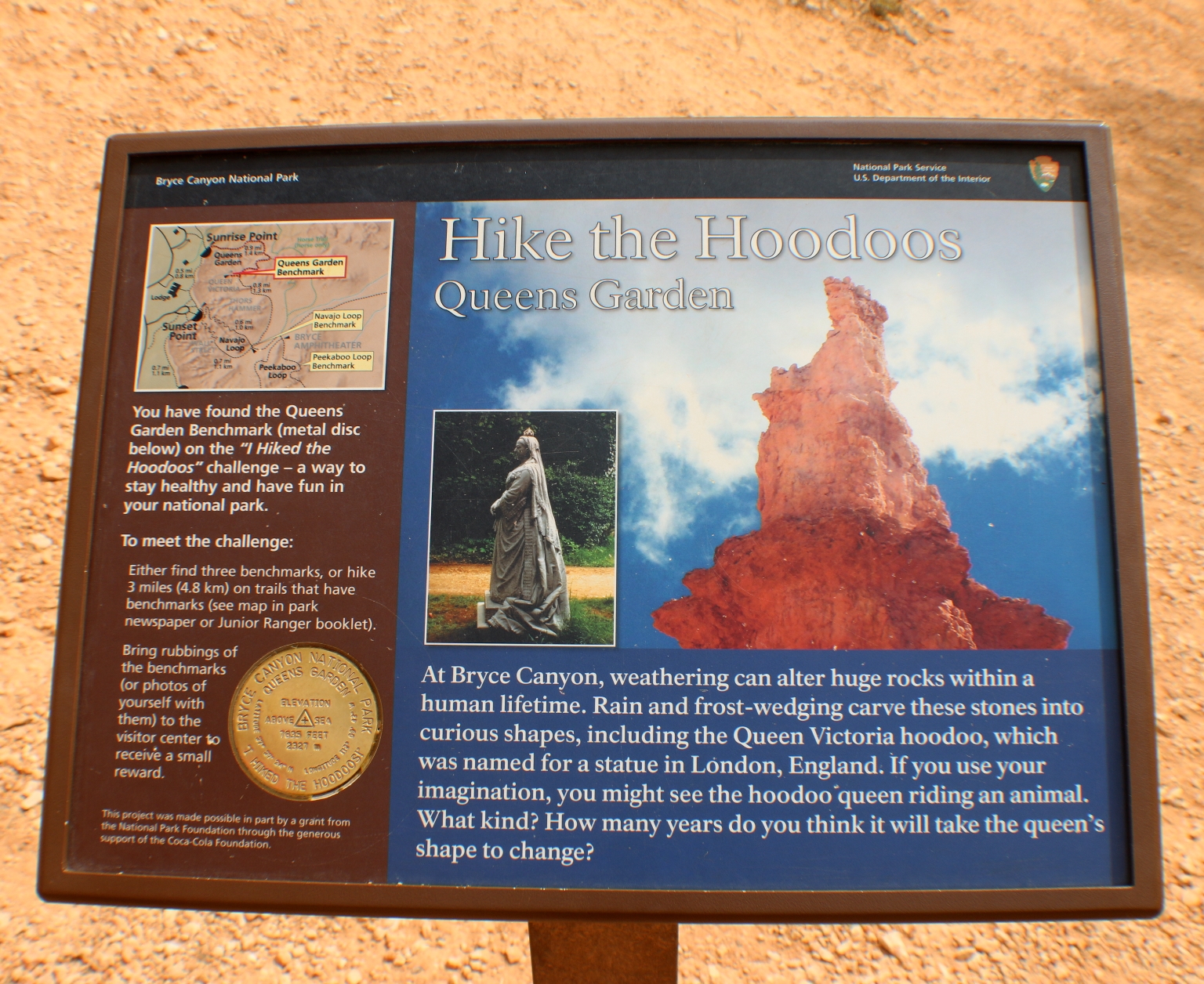
Queen Victoria is the tall hoodoo on the left, that with some imagination resembles a statue of Queen Victoria in London. It probably better resembles the Queen from a different angle.
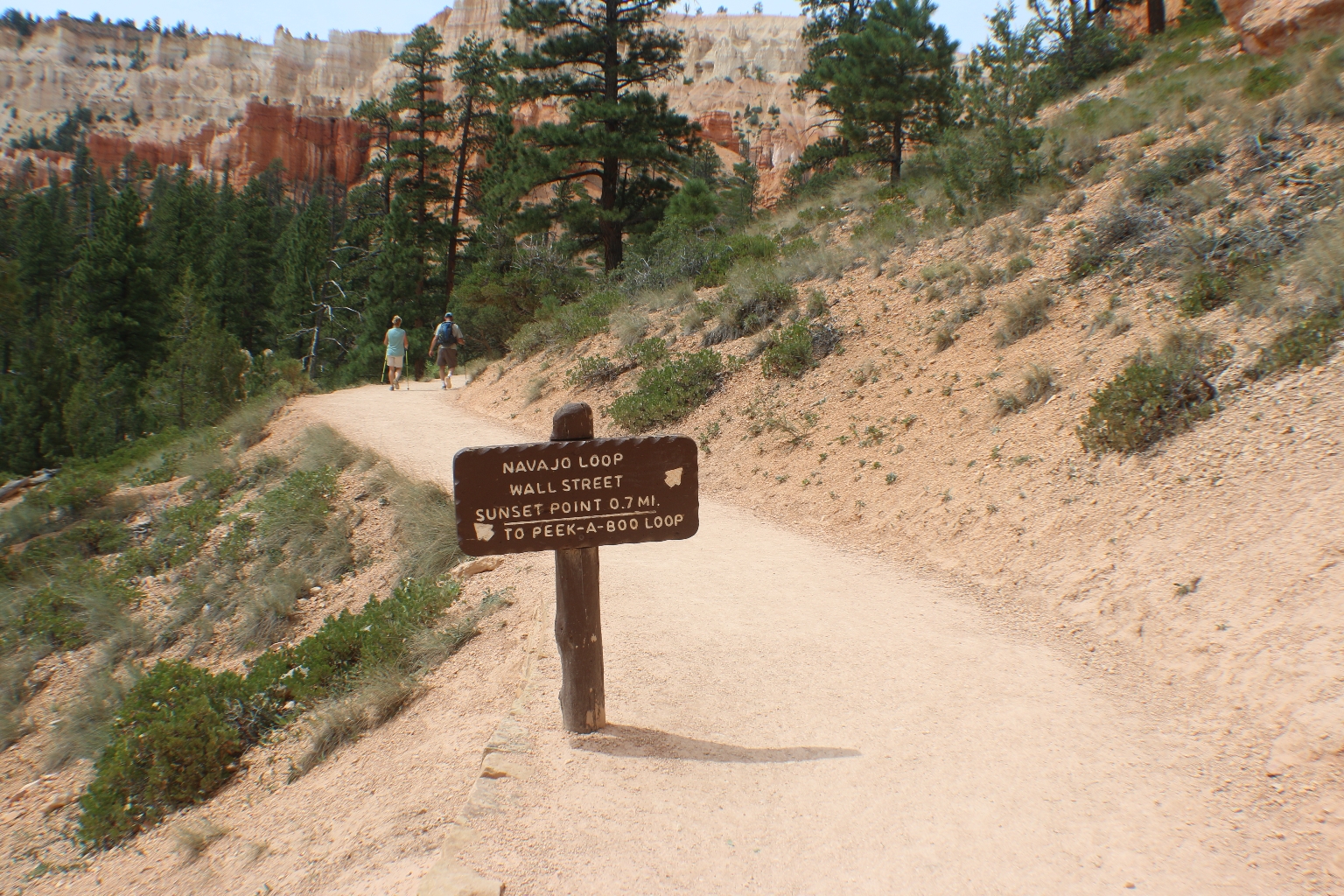
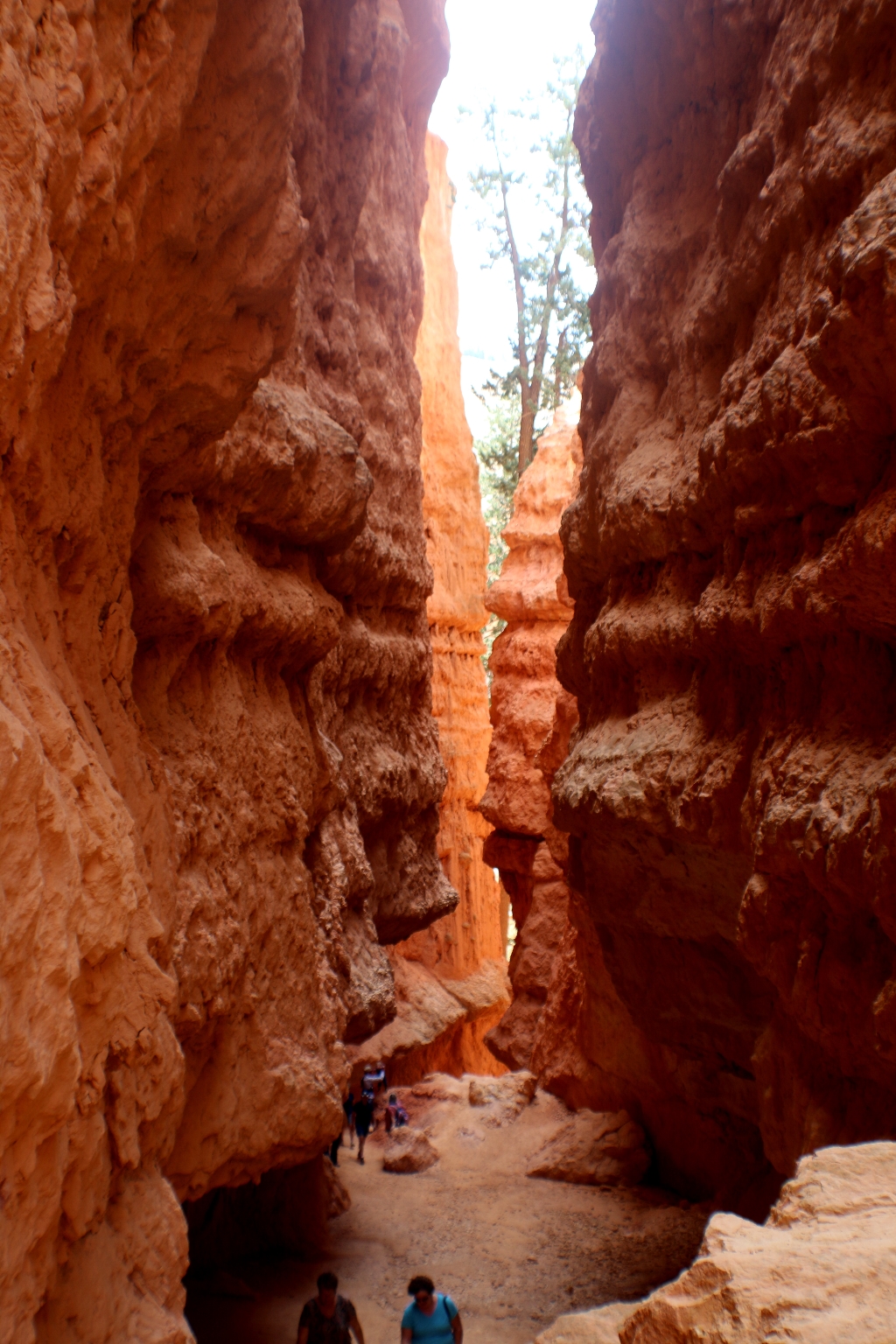
At the end of the Queens Garden trail, there is a sign that connects this trail with the Navajo trail and Peekaboo trail. We decided to continue on the connecting Navajo trail further down into the canyon via “Wall Street”, a narrow switchbacked slot between sheer cliffs, with towering Douglas fir trees growing along the trail.
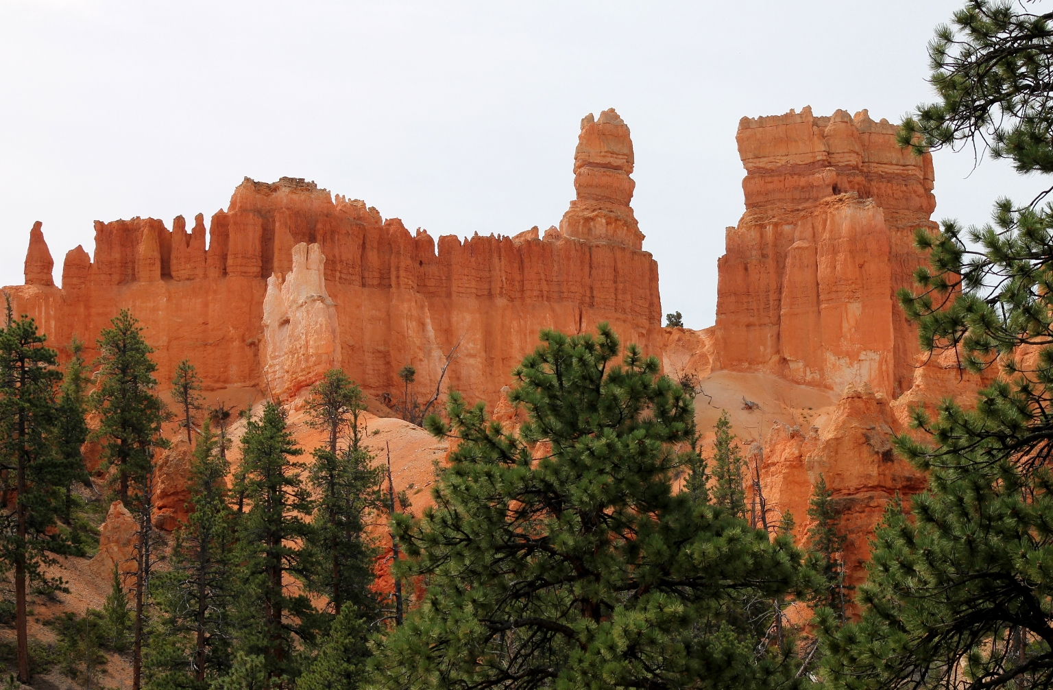
As we reached the junction with the Navajo Loop Trail, we were able to see the rock formation known as Fairy Castle.
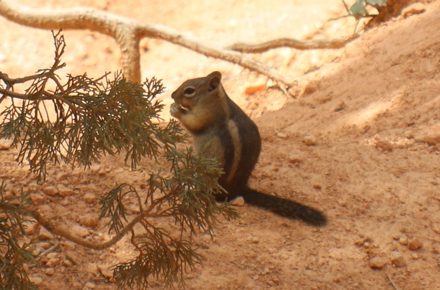
There were so many chipmunks in the park. We snapped this picture of one of them just before entering Wall Street.
Approaching Wall Street slot canyon, where large Douglas Fir trees are stretching to reach sunlight high above.
Beside the collection of hoodoos that comprises the whole of Bryce Canyon itself, the slot canyon-style narrowness of Wall Street is probably the most famous and magnetic attraction in the park. Douglas fir, over 500 years old.
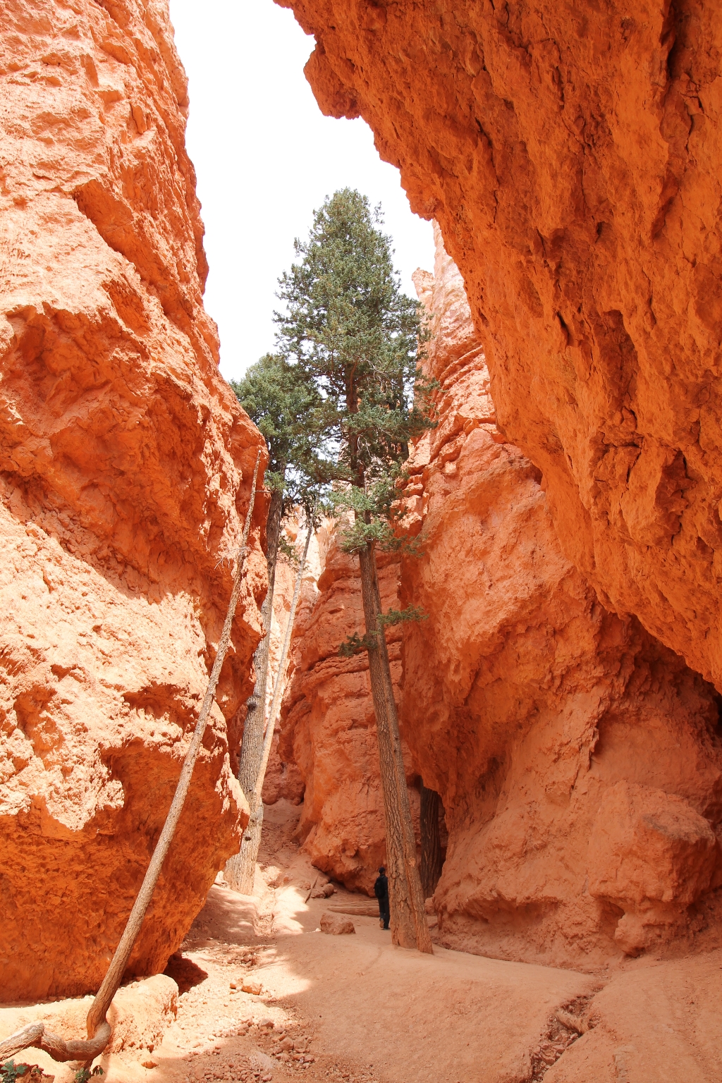
Like NYC’s Wall Street, sunlight may not reach the floor many days of the year.
Ascending the switchbacks following the trail up.
Switchbacks along the Navajo Loop are helpful to conquer the steep elevation.
From here the trail goes to Sunset Point, which is the staging area for the Navajo Loop Trail, and presents marvelous views of some of the park’s most popular sites.
A telephoto shot of some of the hoodoos from the picture above.
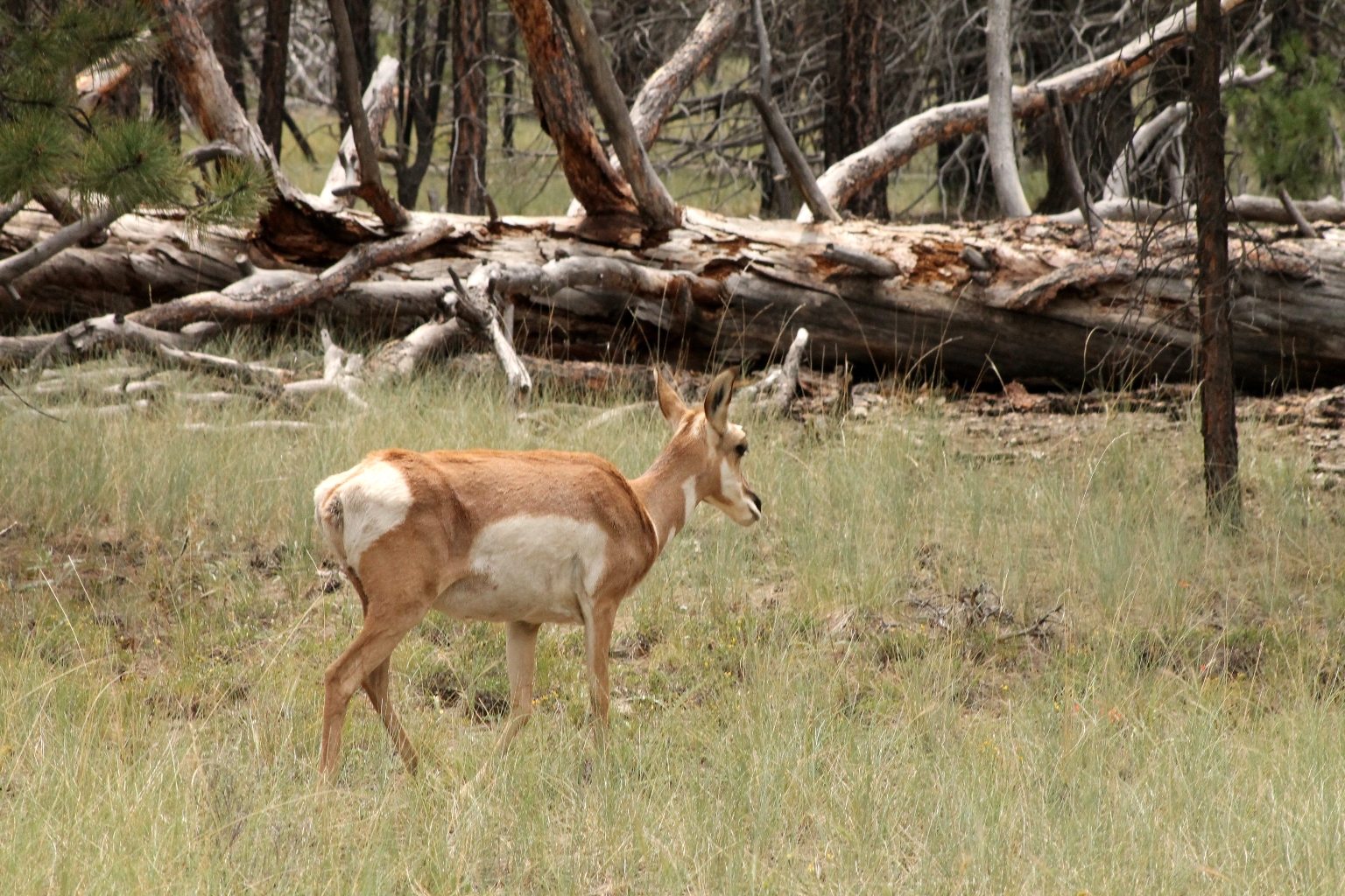
We saw this Mule Deer while driving to Fairyland Point, our last stop at Bryce National Park before leaving for Moab. According to the sign, Mule deer are the most common large animals found in the park.
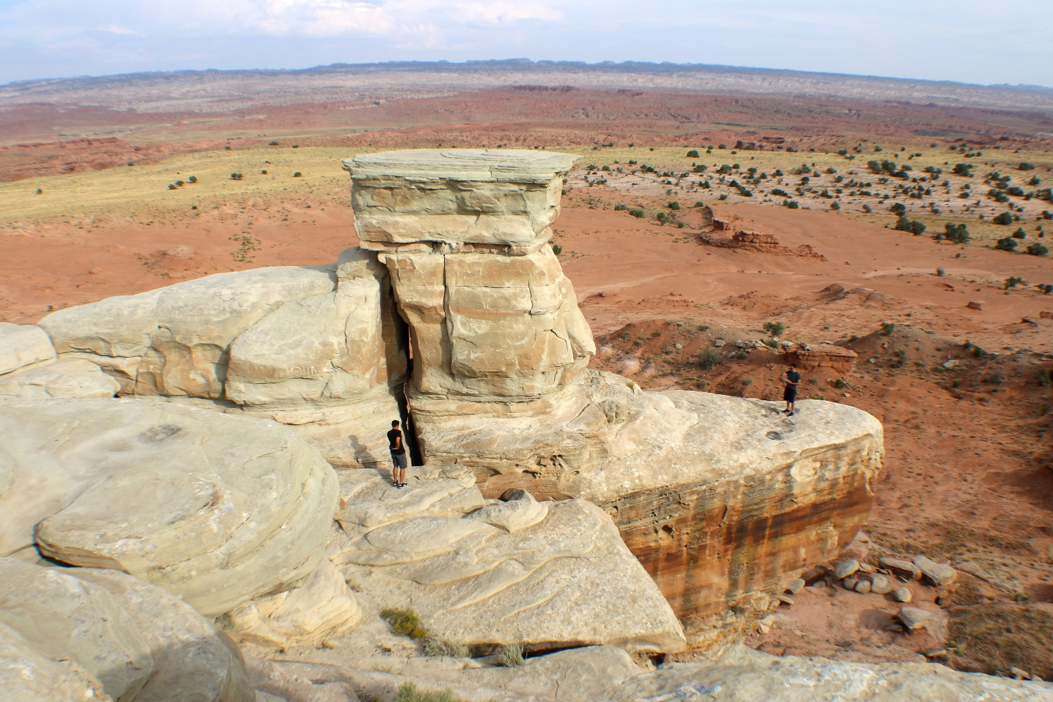
Fairyland Loop Trail begins at Fairyland Point, at the northern portion of the park, and goes through spectacular hoodoos and scenery along the rim and into the canyon; including a spur trail to Tower Bridge. This hike is considered strenuous due to its length and meandering trails with multiple elevation changes. We didn’t take the trail, just went down a little. The hoodoos here are beautiful as well.
I really like these pinkish hoodoos at Fairyland. We are planning to re-visit Bryce in the future and take as many hikes as we can. 🙂
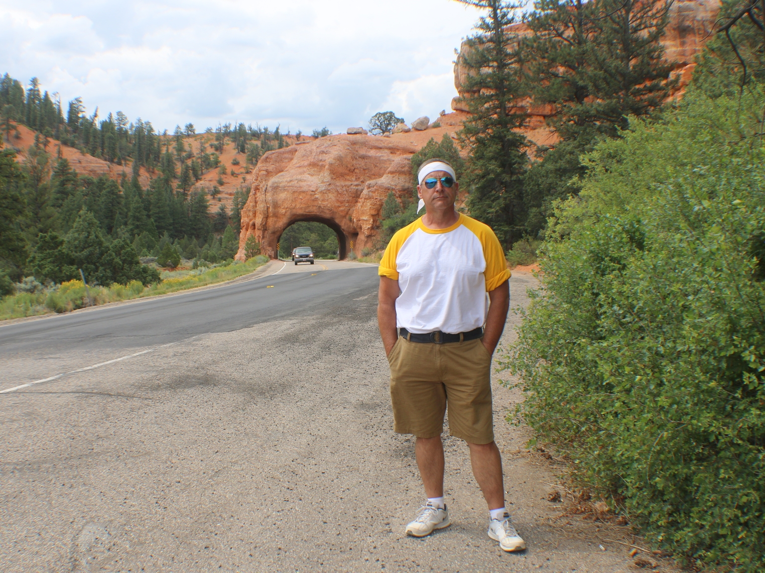
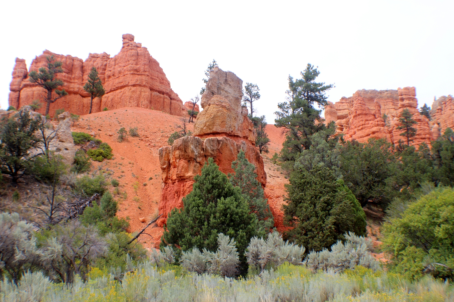
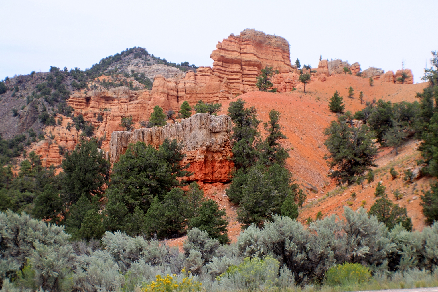
In the afternoon we left for Moab. We drove through Red Canyon again on our way out of Bryce Canyon National Park and stopped at some overlooks. At the rock tunnel.
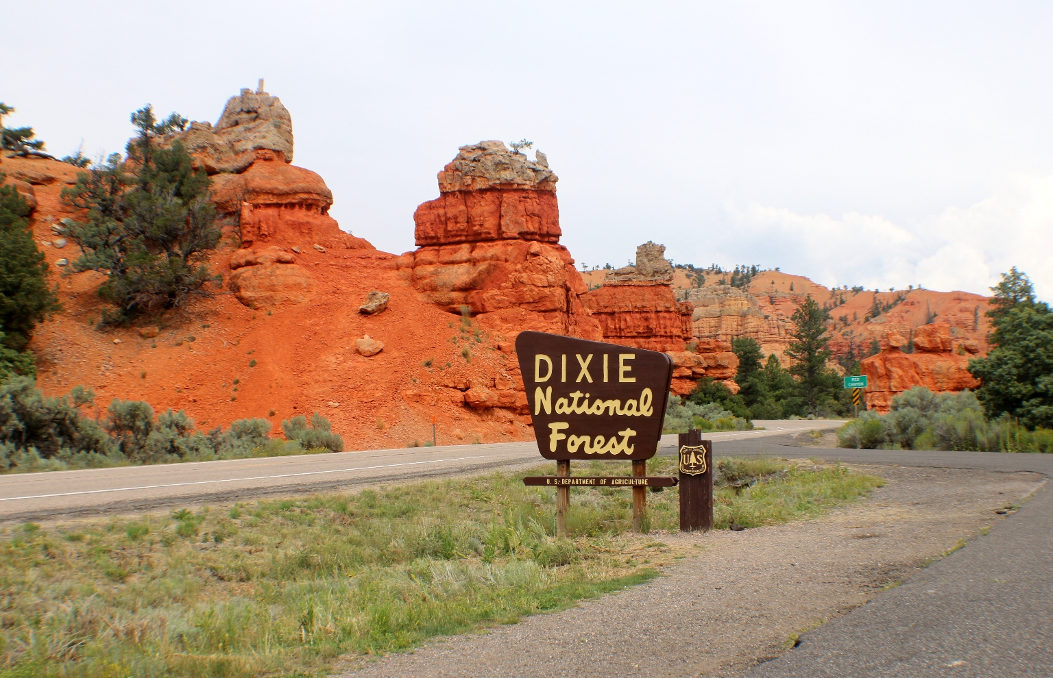
Also, we stopped here, at the exit from Bryce to enjoy these beautiful rusted rocks.
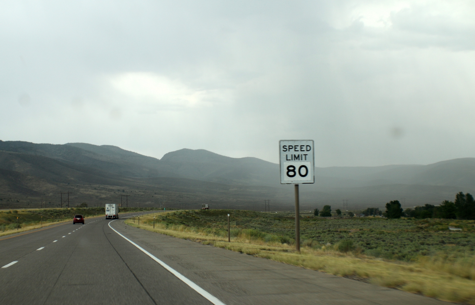
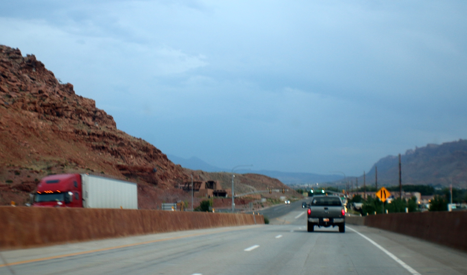
Driving to Moab city. It was nice being able to keep our speed at 80 miles per hour on some parts of the road.
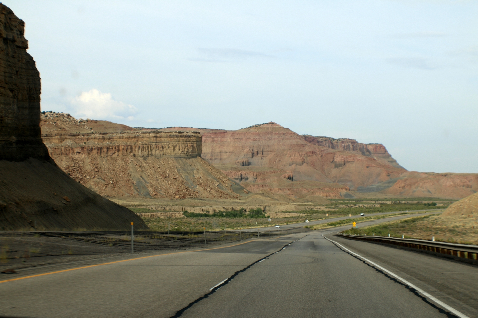
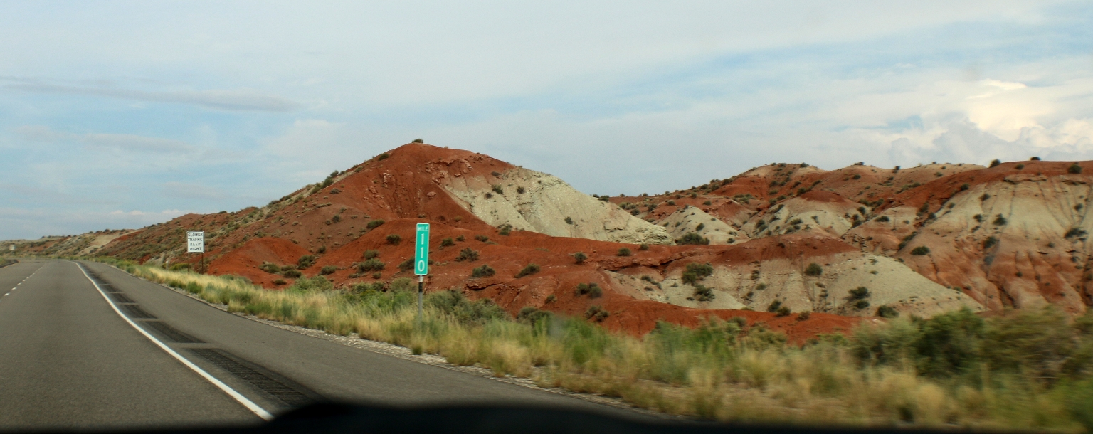
Here is a typical view of the rocks like these while driving to Moab.
Sometimes, we got to enjoy multicolored dunes like these ones.
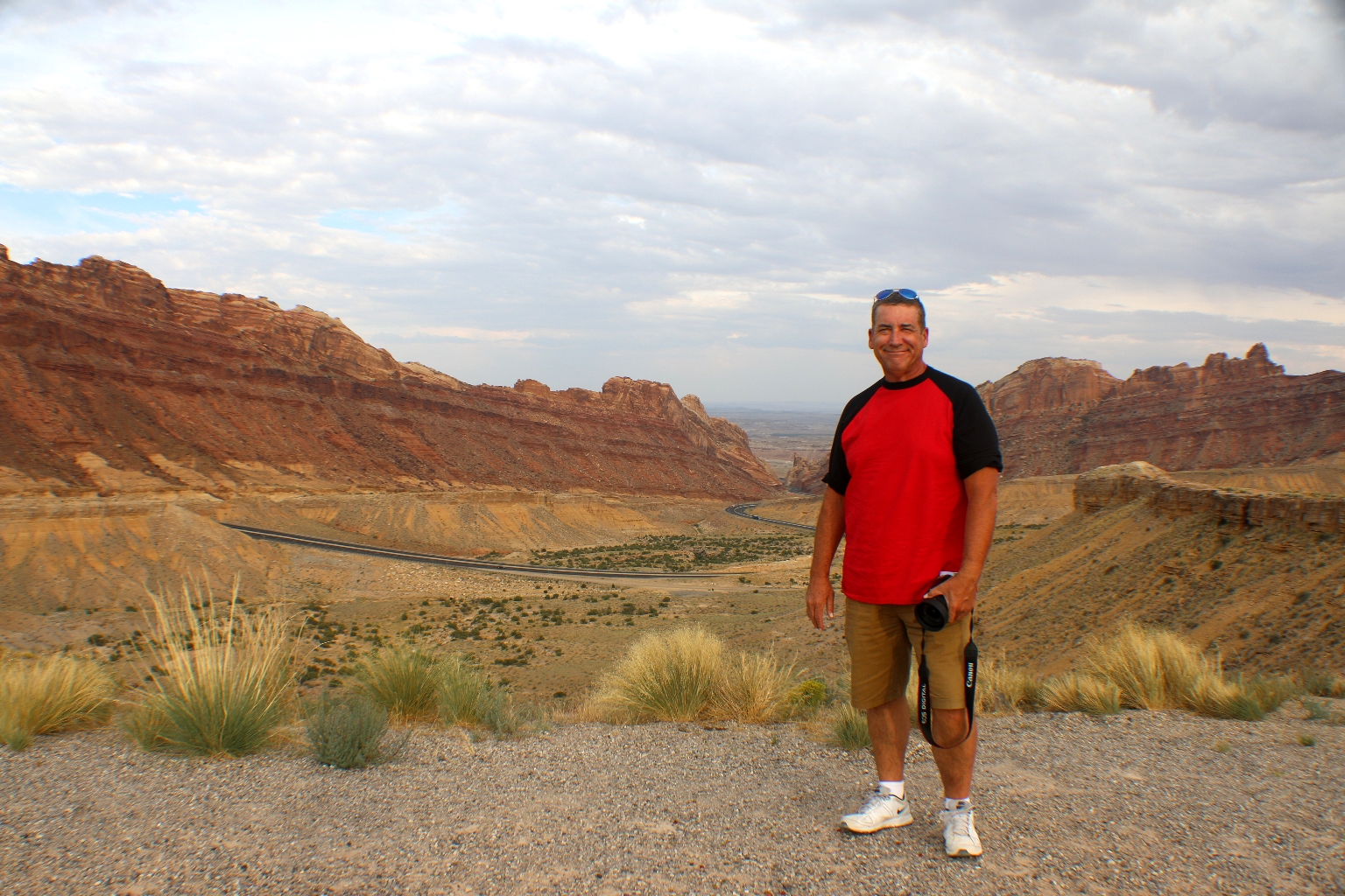
We made some stops at a few interesting view points. This is the scenic view of Early Castle Valley from Interstate 70 eastbound.
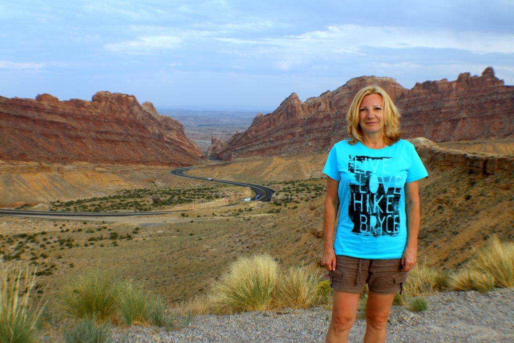
This is The San Rafael Swell. Interstate 70 divides the Swell into northern and southern sections, and provides the only paved road access to the region.
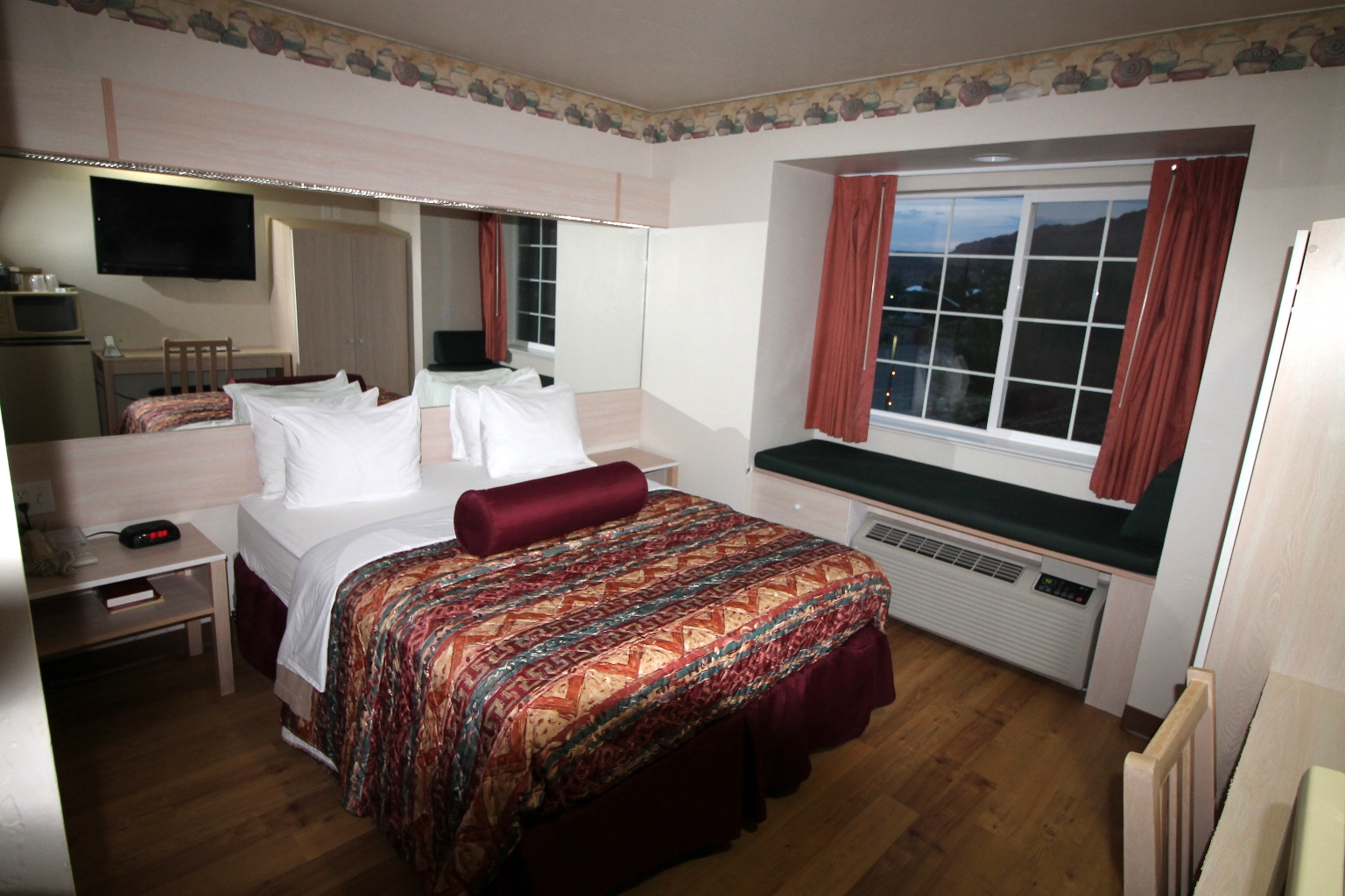
We entered Moab in early evening; therefore, we had some time to check out the city, mostly gift shops and a supermarket.
Our River Canyon Lodge hotel wasn’t fancy, but very comfortable and convenient. It is ideally located in the center of the town of Moab and offers a good size outdoor pool. I am glad we booked it in advance, because the hotel was completely filled up by mostly European tourists. It seems like the National parks near Moab are well-known and popular in Europe, which is nice. Next day we planned spending in Arches National Park.