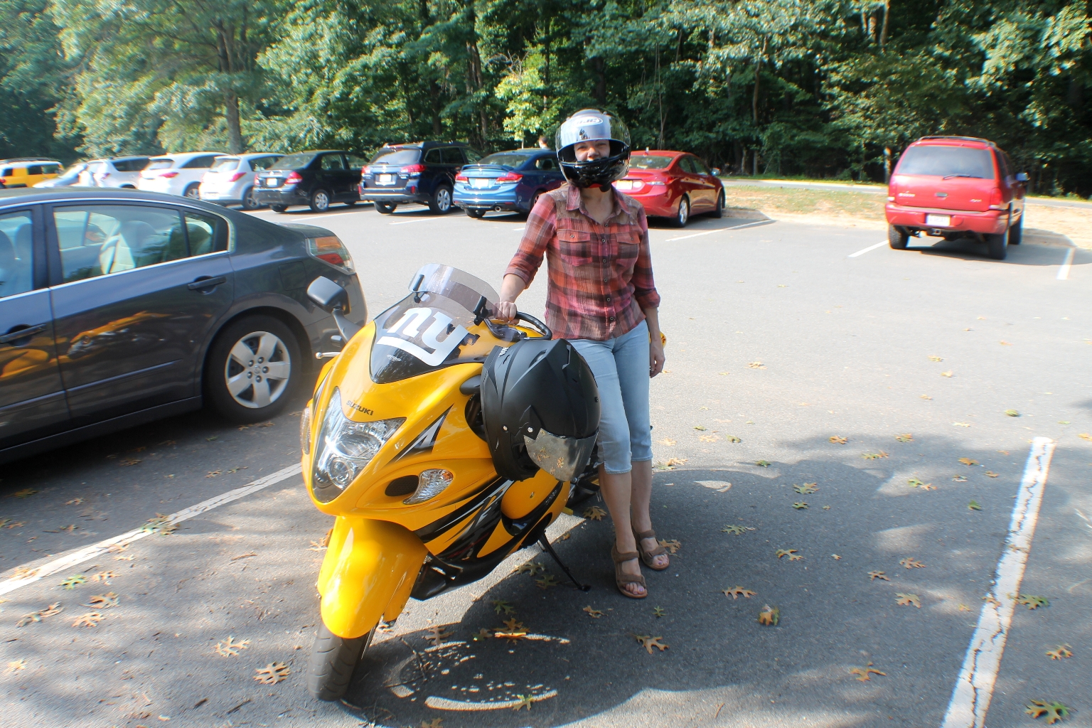
Dave and I decided to take advantage of the Pre-Labor Day weekend and visit Great Falls Park located on the southern bank of the Potomac in Virginia, 14 miles (23 km) upstream from Washington, DC. Chesapeake and Ohio Canal parkland is located along the northern banks of the river in Maryland. The Potomac and the falls themselves are within Maryland. Scenic views are offered on both the Maryland side and the Virginia side. We visited overlook points on the Virginia side.
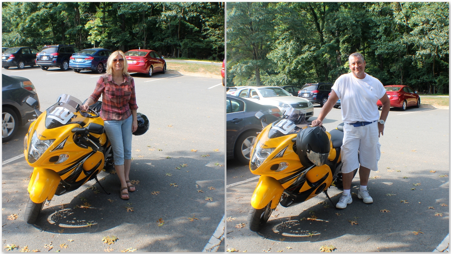
 The motorcycle ride felt really nice on this beautiful summer day. I am glad that we arrived early, around 10 a.m., because later on there was a huge line of vehicles at the park entrance.
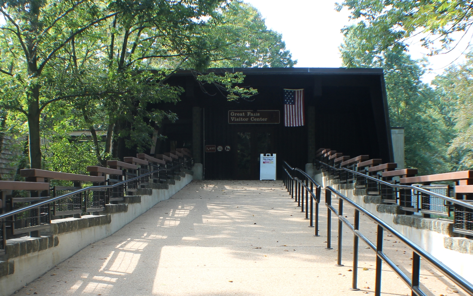
The vehicle pass costs 5$, no other entrance fees. The Visitor Center was closed that day.
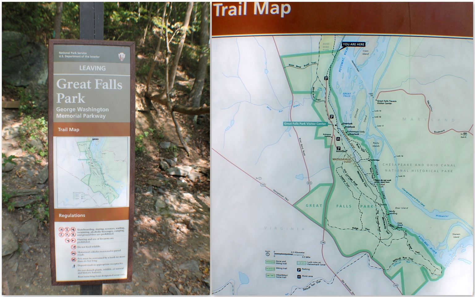
Great Falls Park is an 800 acre park with fifteen miles of hiking, biking, and horseback riding trails. We received a trail map at the entrance station and chose to explore the North River Trail.
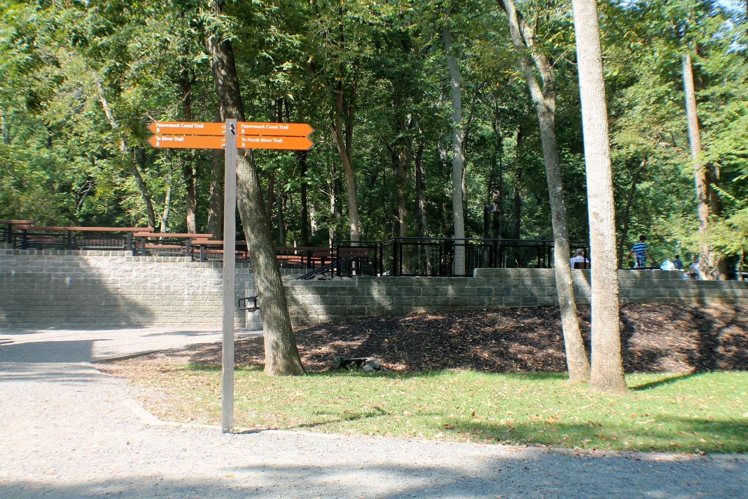
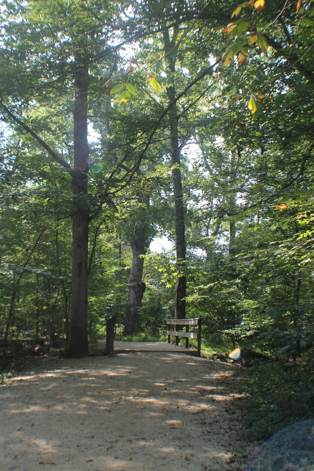
This 1.5 mile trail runs next to the Potomac River, between the Great Falls visitor center and the Riverbend Park visitor center. It is an excellent place for wildflowers in the spring and bird-watching throughout the entire year.
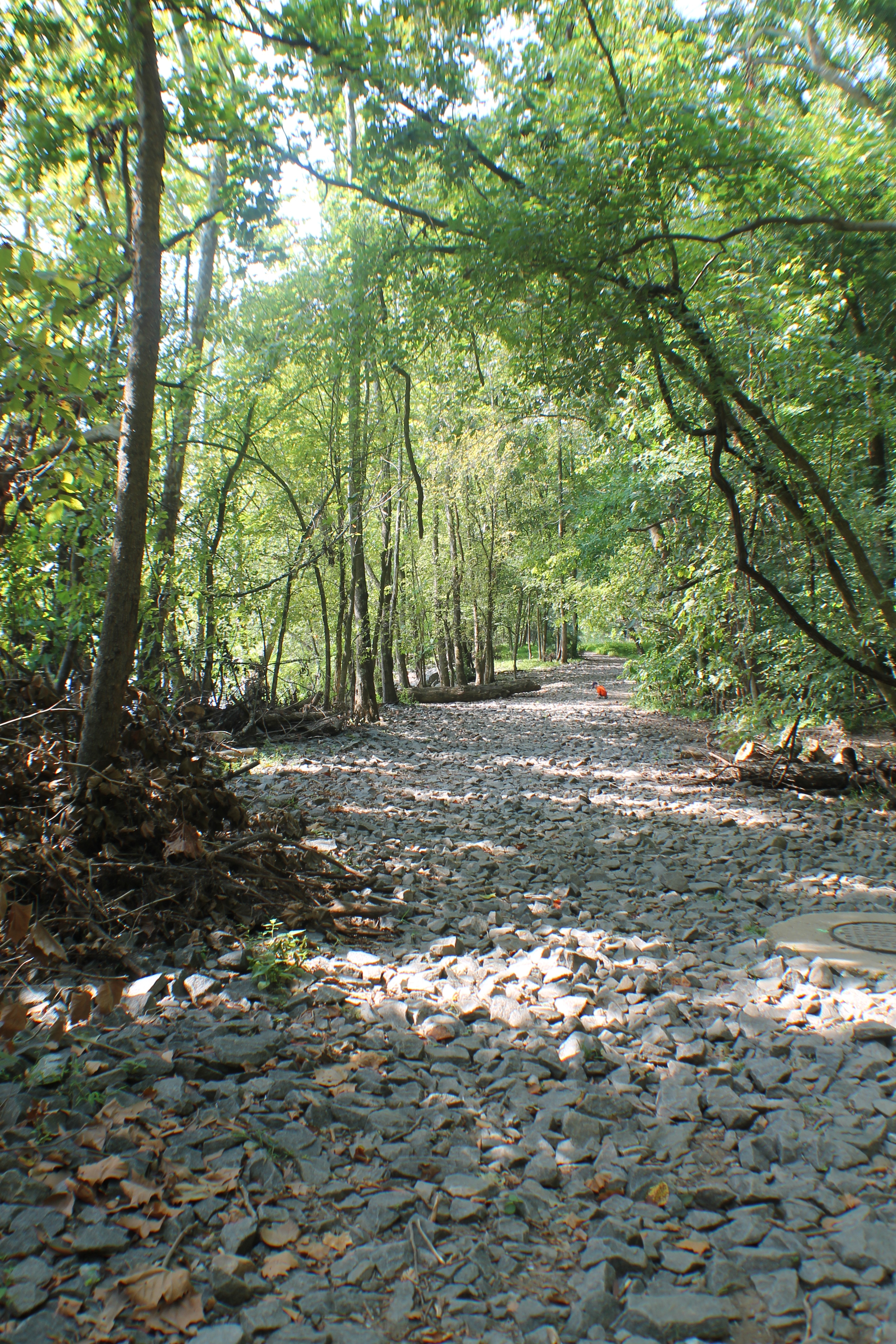
Most of the trail is straight and level, with the exception of a steep, rocky hill that must be climbed to bypass the Aqueduct Dam. This trail will flood when the Potomac river levels rise, and trail conditions after a period of high water will be very muddy.
This Trail Map is located next to Aqueduct Dam.
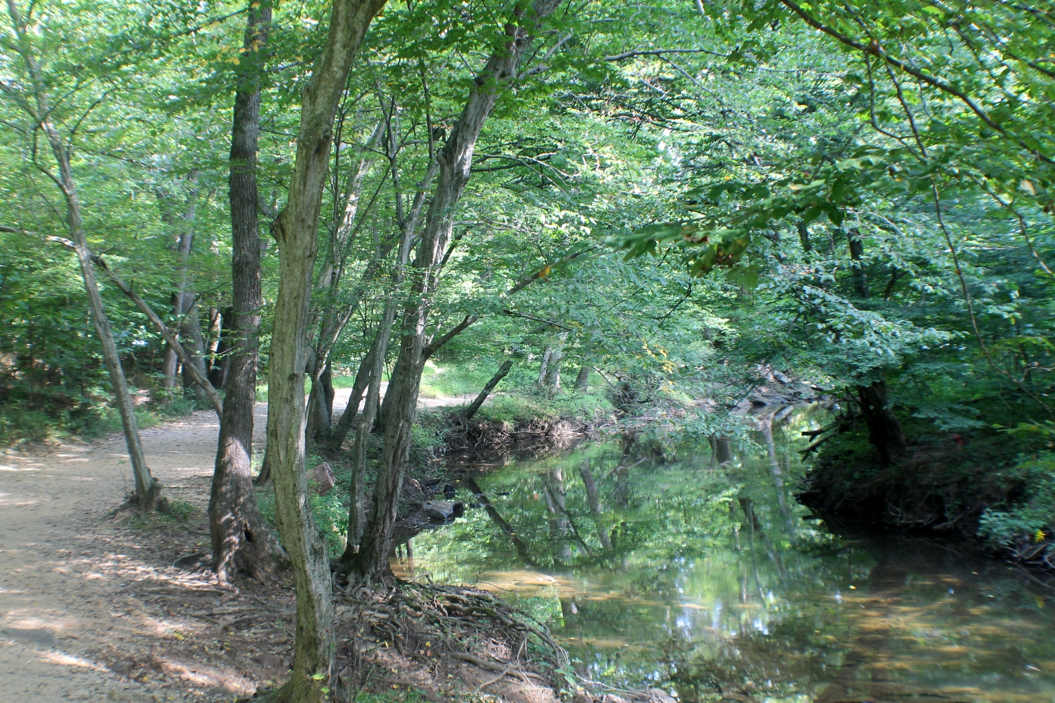
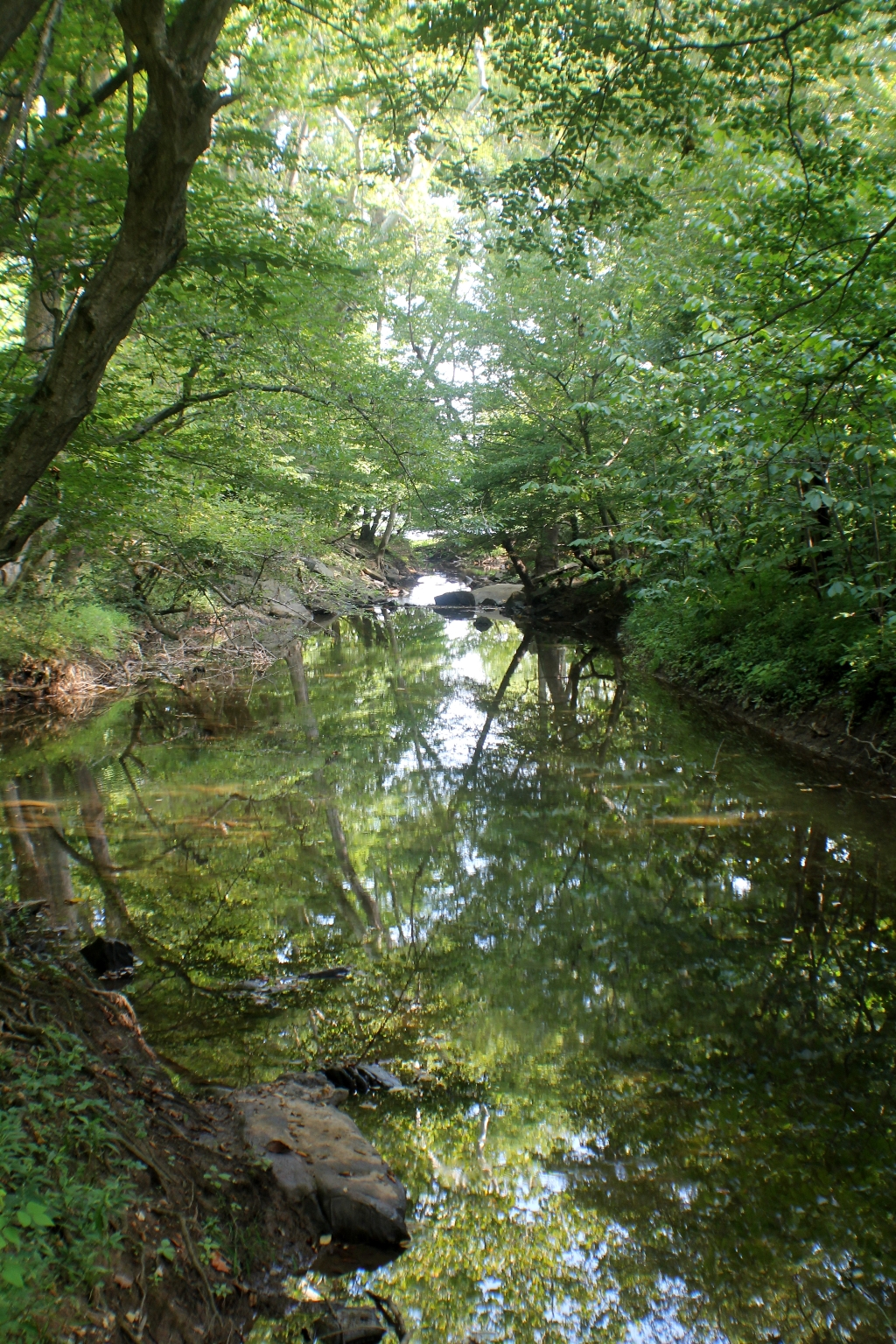
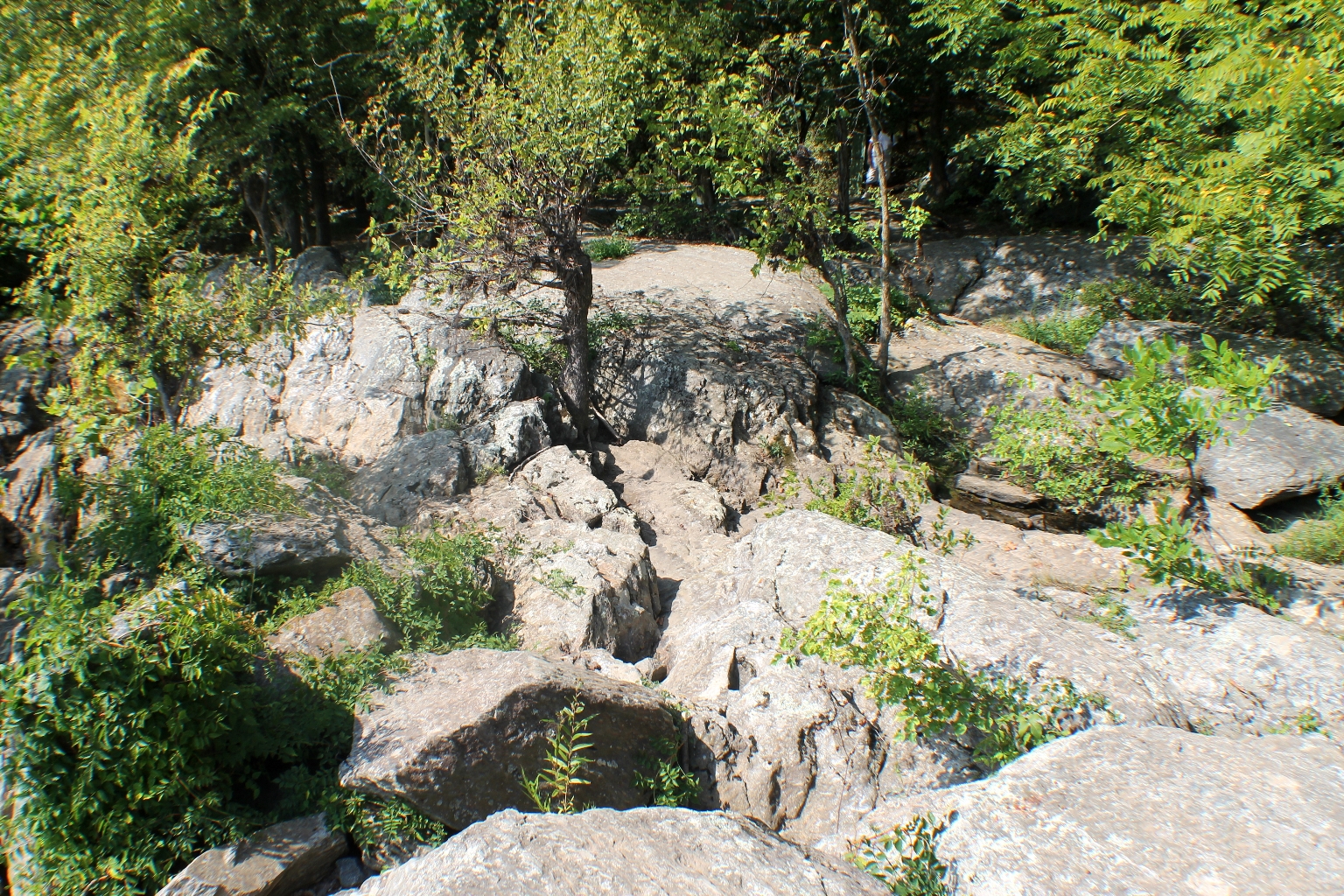
The still waters of the Aqueduct Dam offer perfect reflections of the surrounding scenery. Great hiking trails along the river, too.
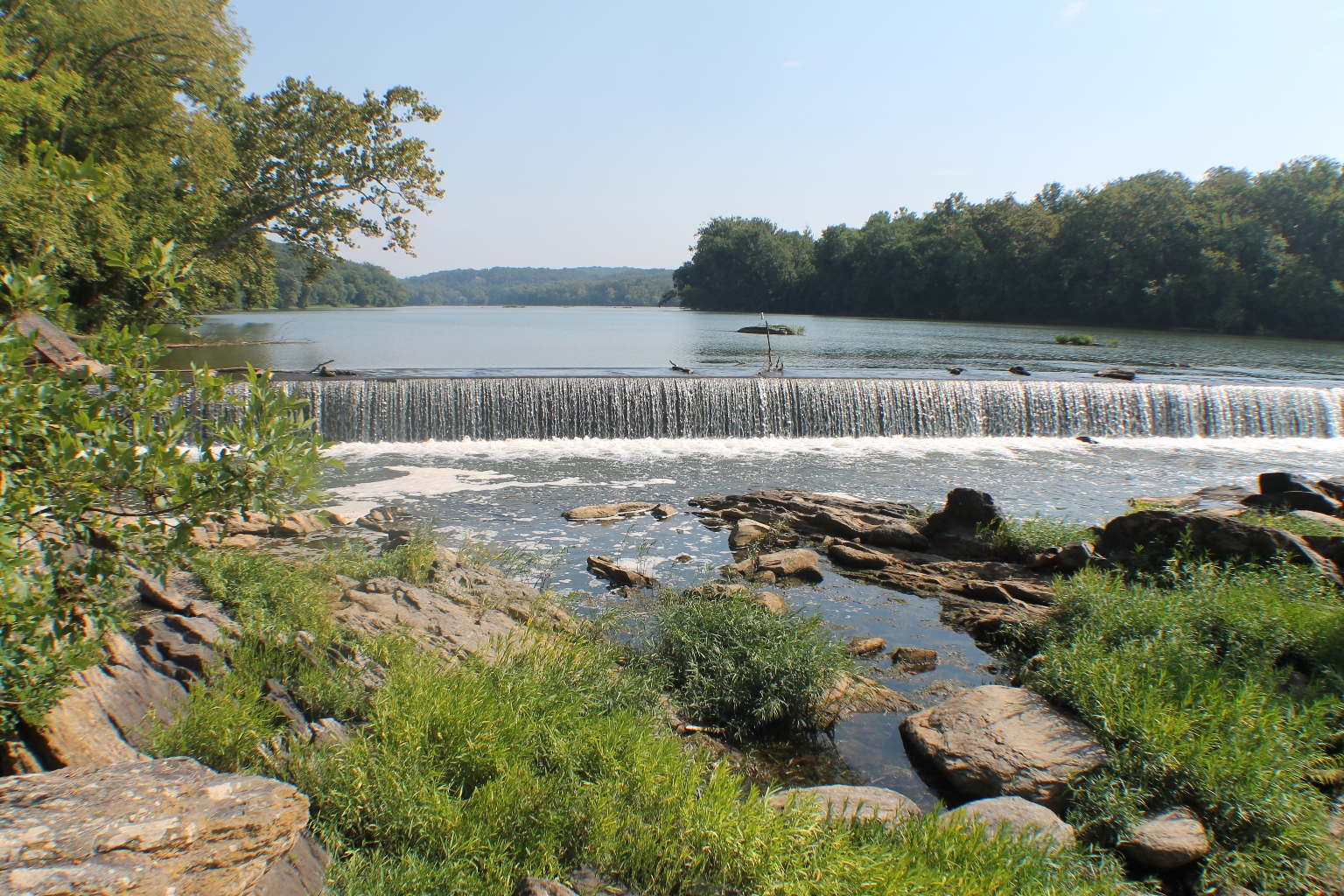
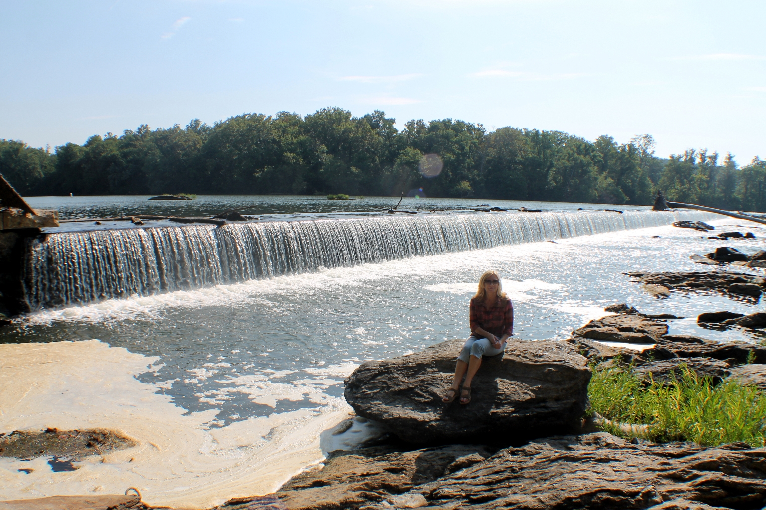
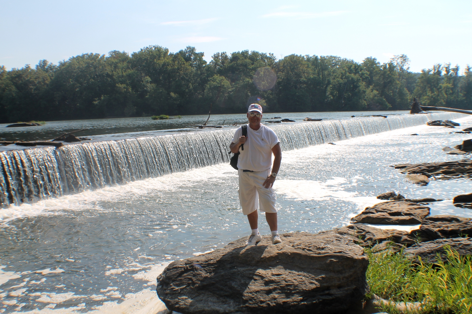
There are numerous boulders around the Dam.
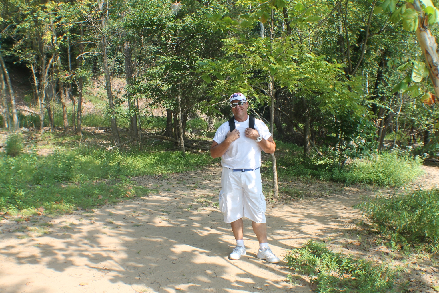
Heading back to the Visitor Center and Great Falls overlooks.
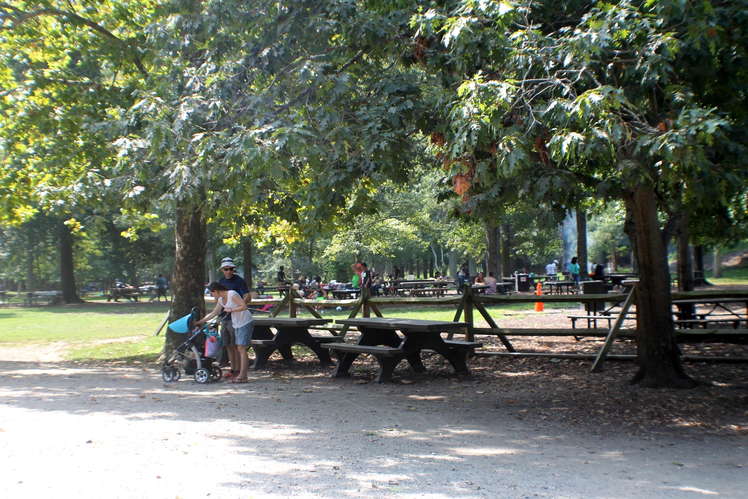
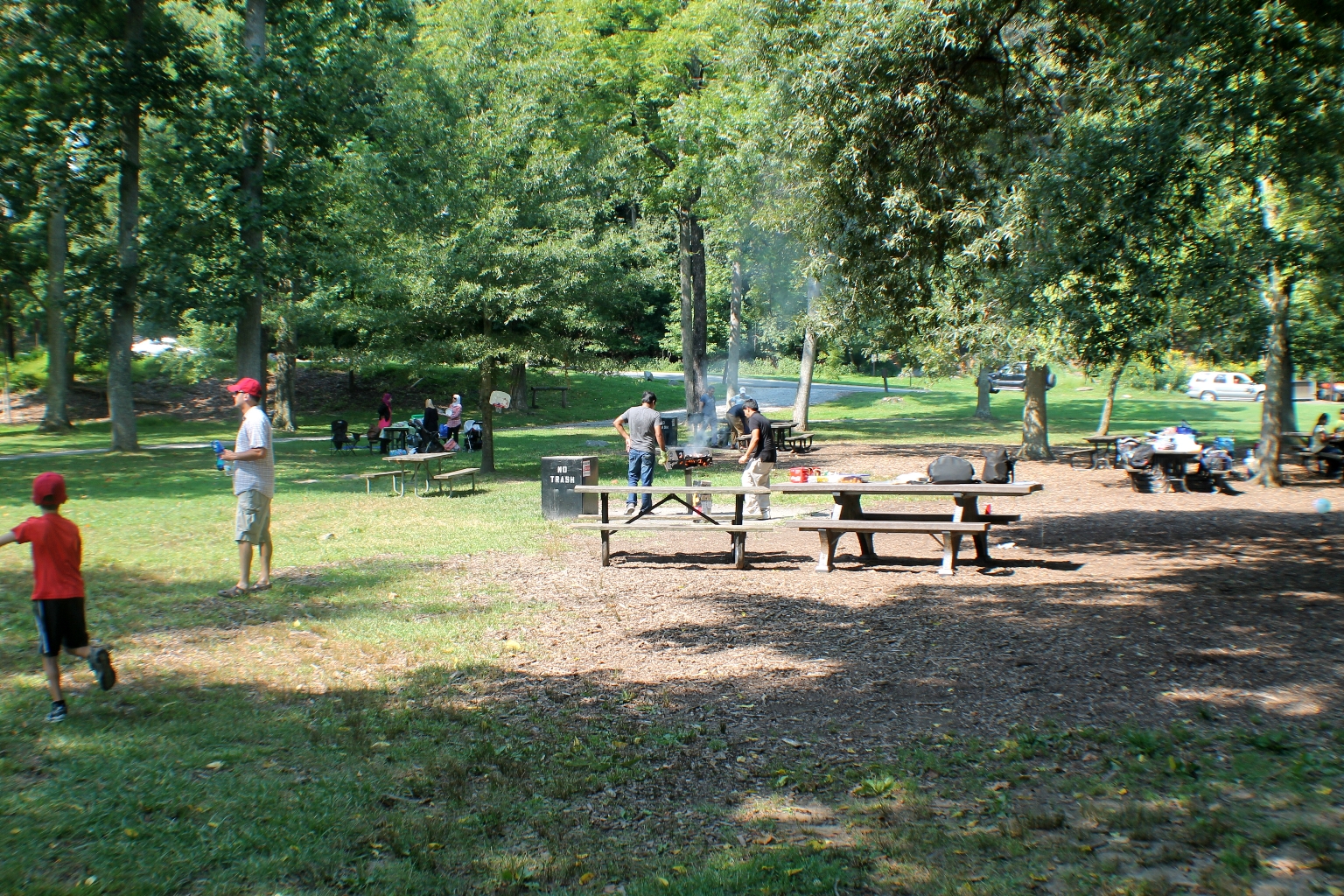
There is a nice picnic area at the park near the Great Falls overlooks. Many picnic tables and grills are available on a first-come, first-serve basis.
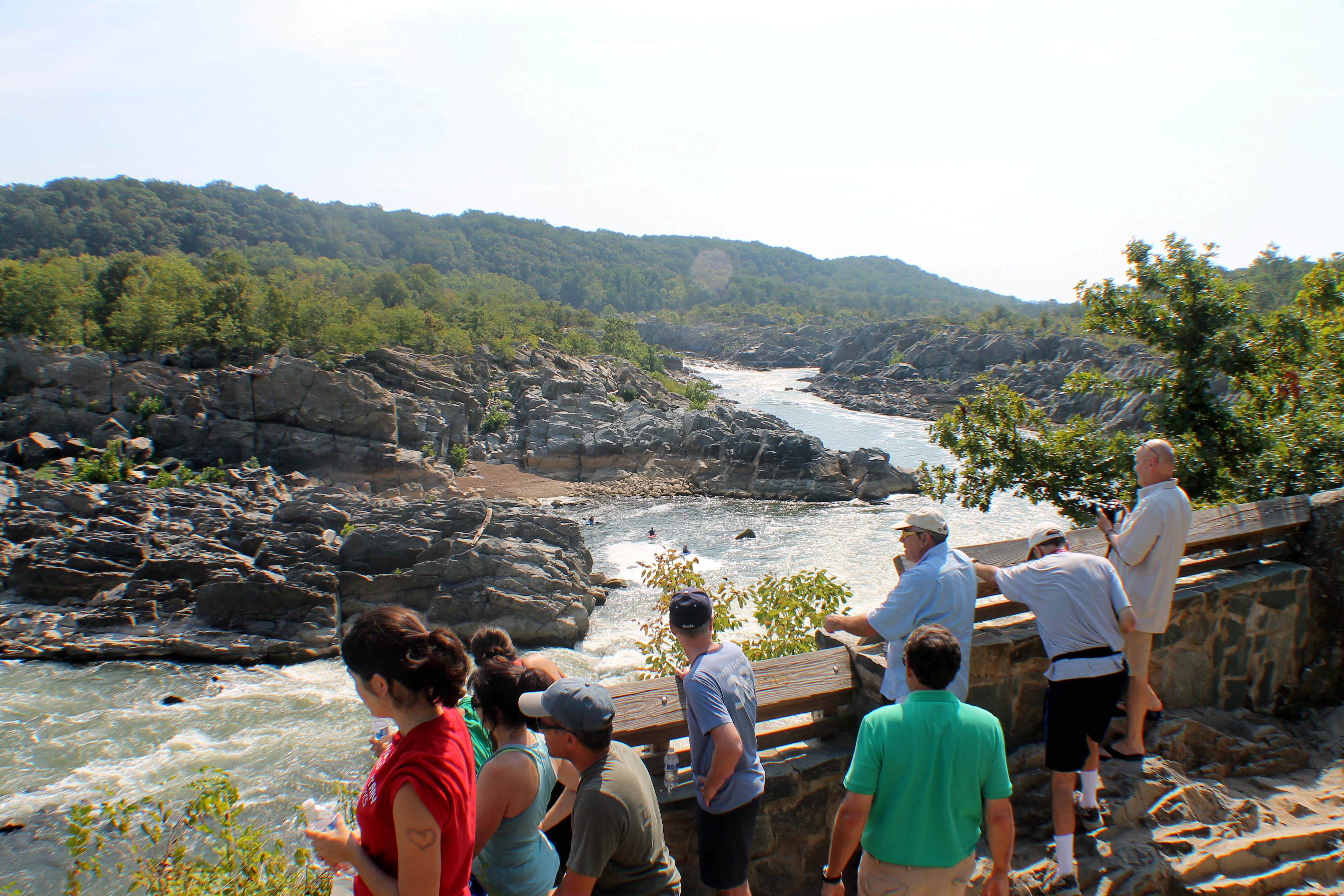
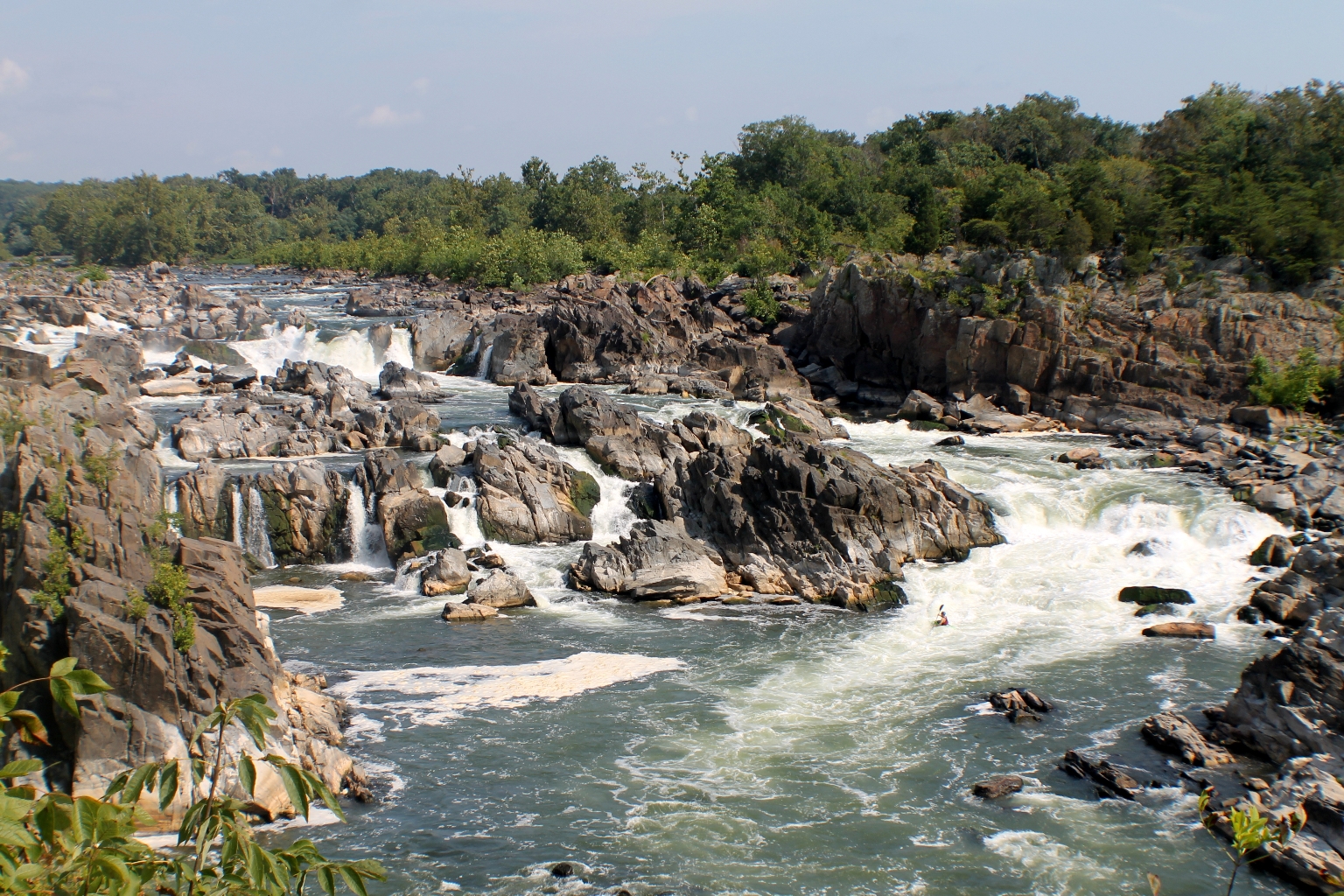
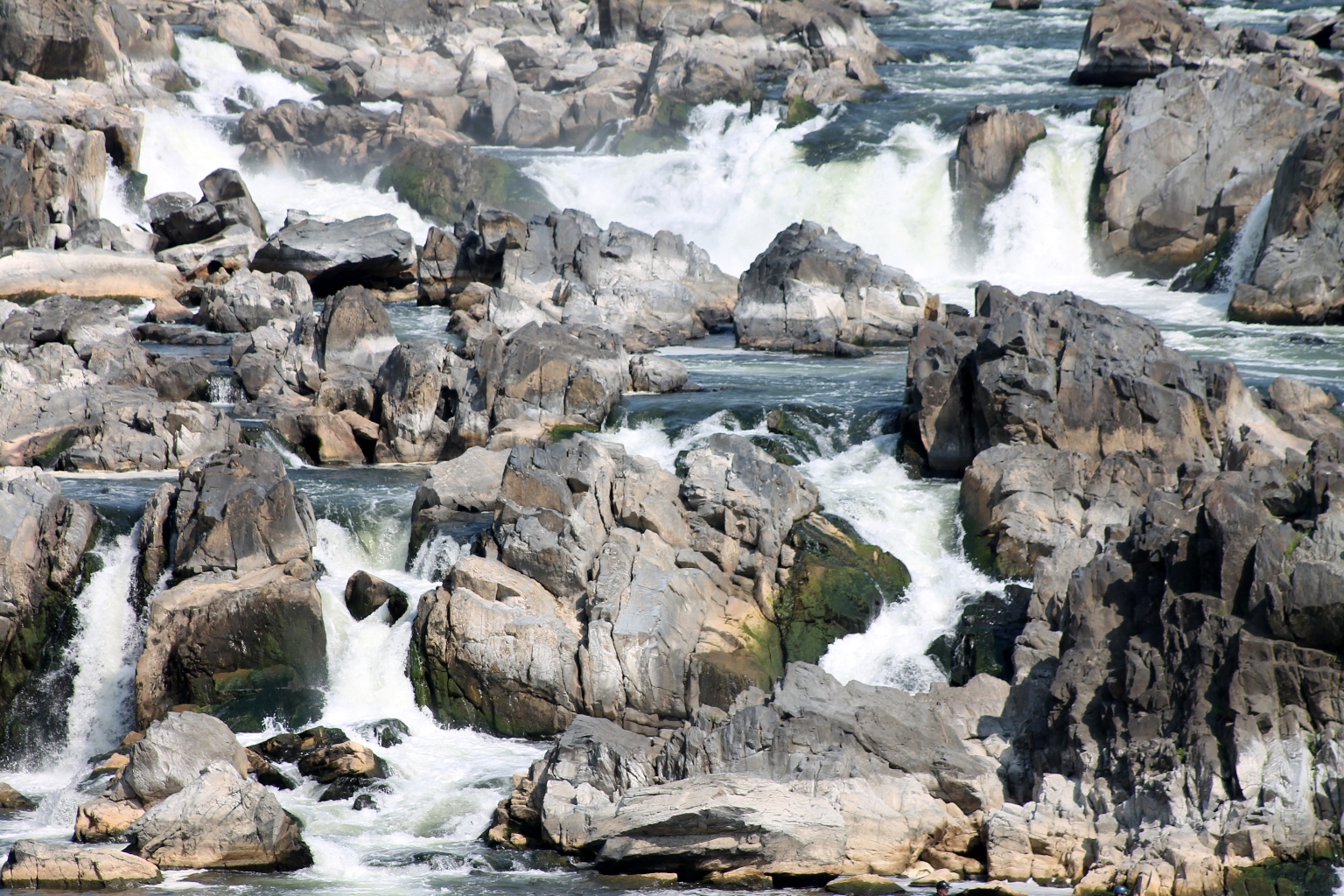
Three overlooks give different views of the Great Falls. All are within a five to ten minute walk from the Visitor Center.
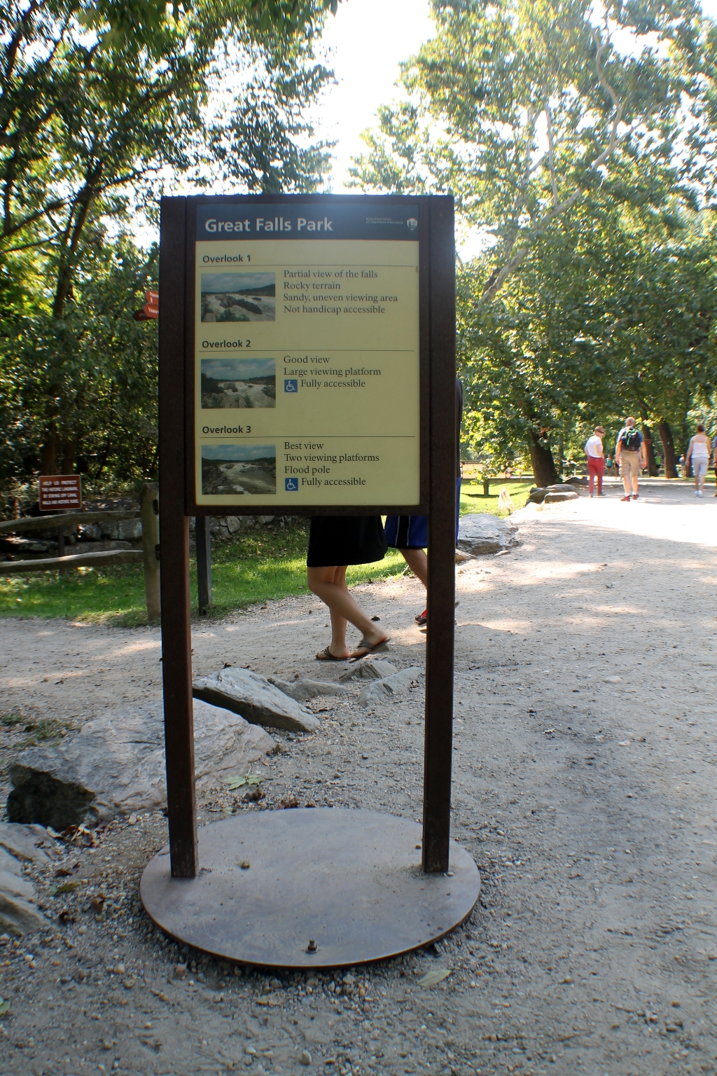
Overlook 1 is located to the left of the south end of the Visitor Center. It is the closest you can get to the Falls themselves. A short trail leads down to a dirt viewing platform. The rest of the overlook is rocky and will require some easy climbing.
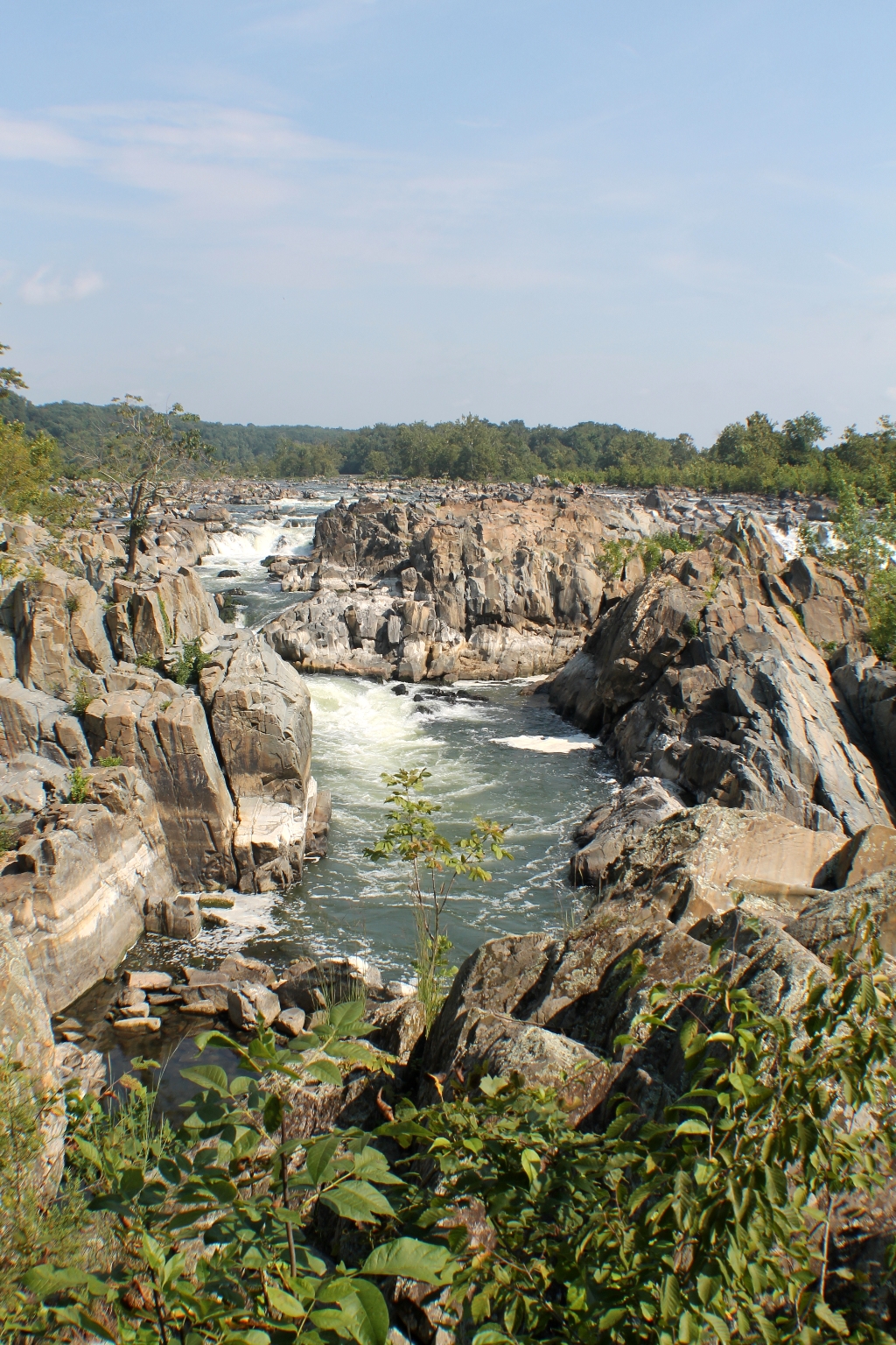
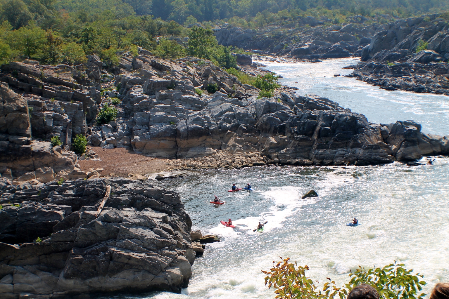
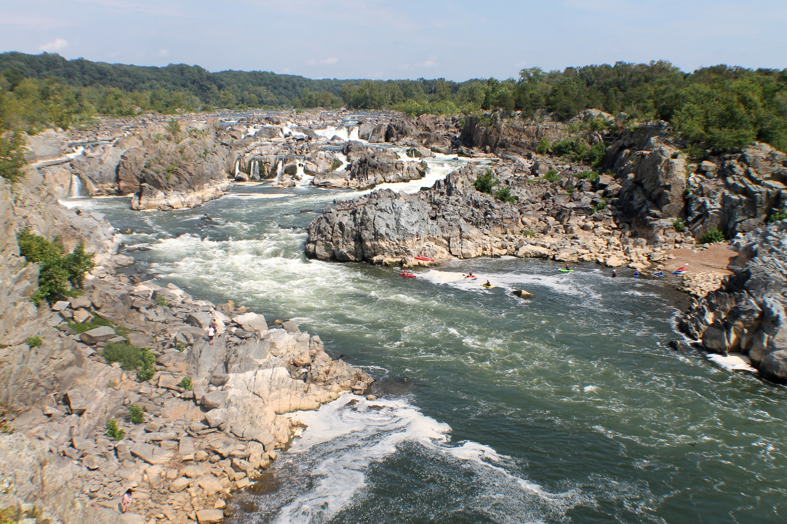
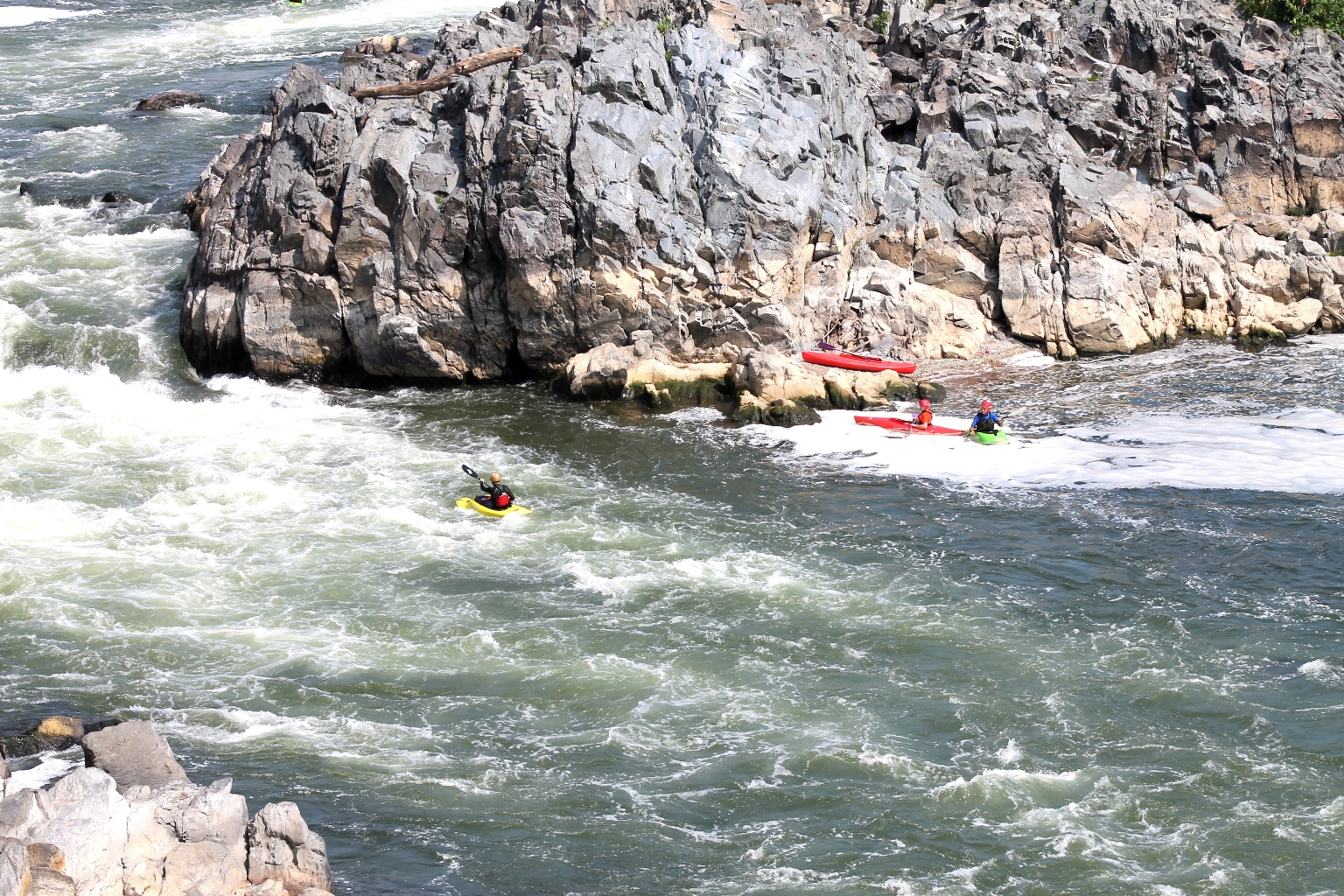
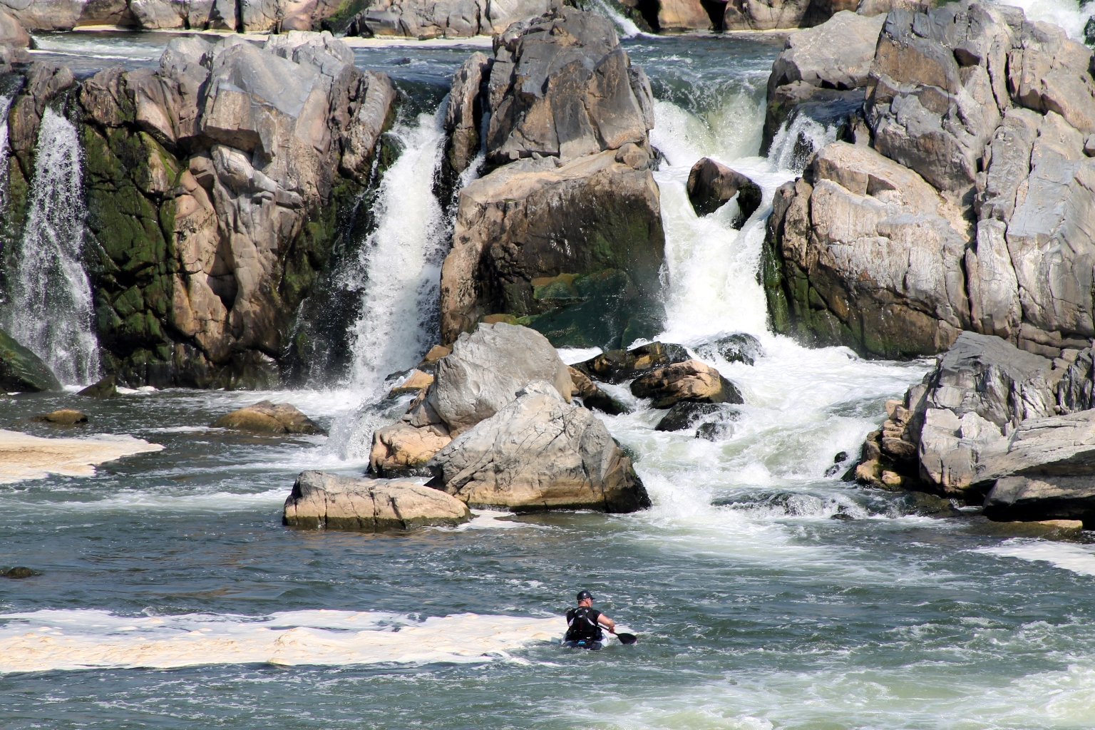
The Great Falls area is popular for outdoor activities such as kayaking, whitewater rafting, rock climbing, and hiking. Kayakers here, at the Falls, are not beginners.
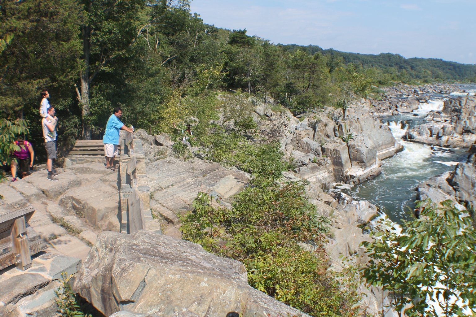
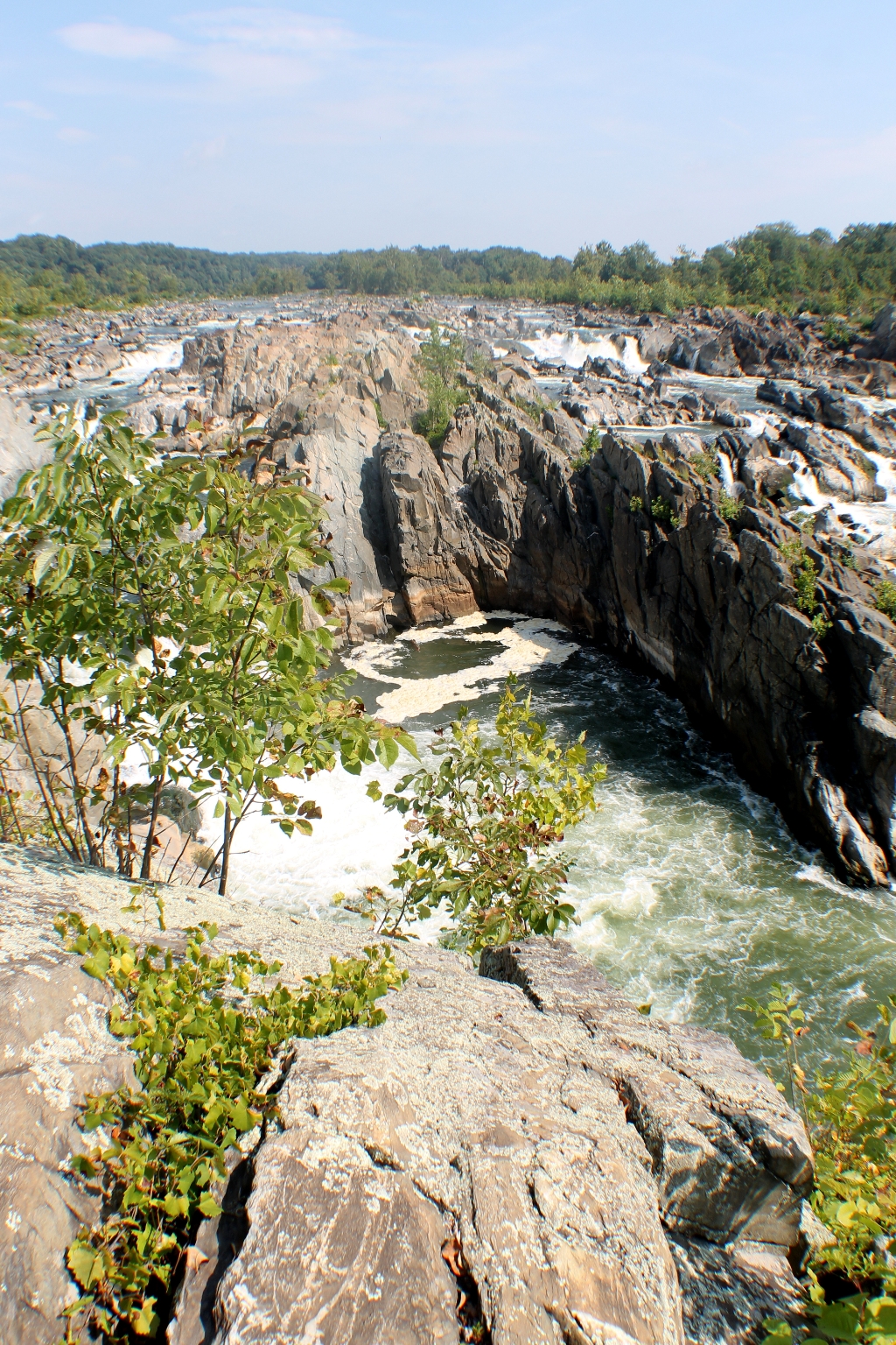
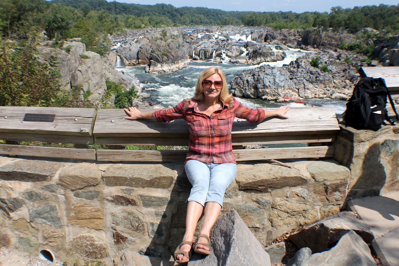
Overlook 2 is located further down the trail from overlook 1. Most of the waterfalls can be seen from this overlook. A small wooden footbridge, a staircase and a ramp lead down to a large wooden viewing platform.
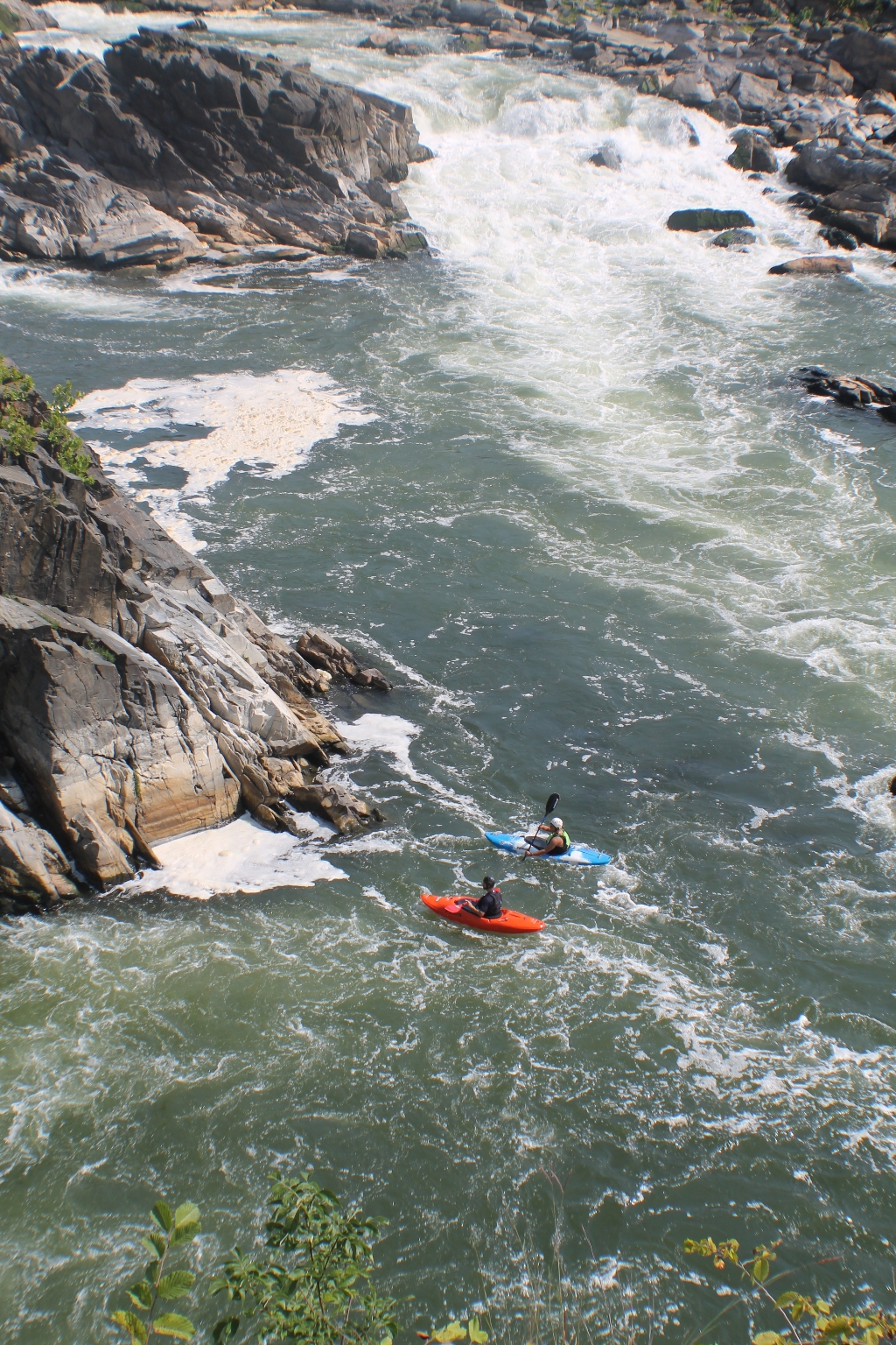
Downstream of the rapids, we saw more kayakers surfing the standing waves.
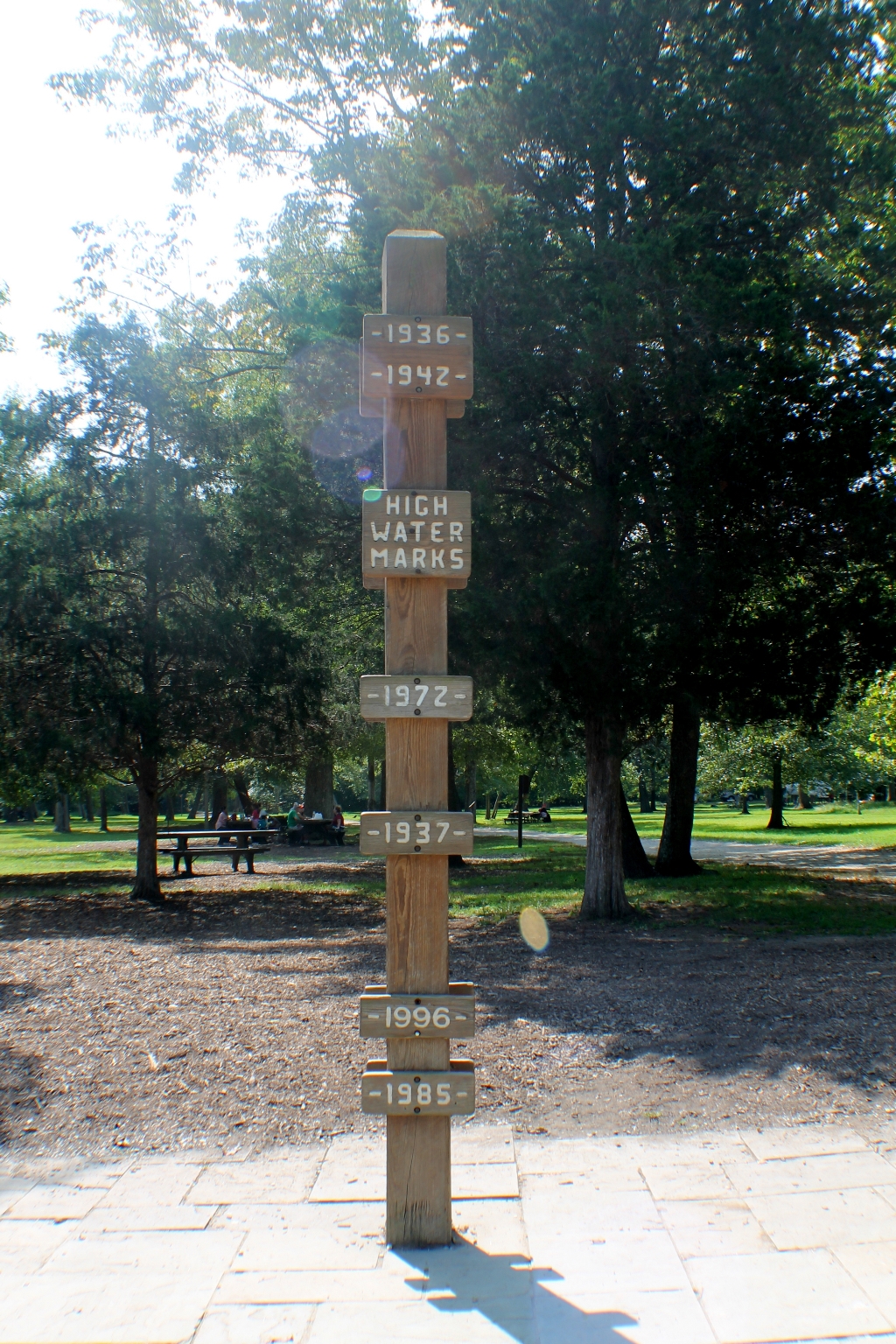
Overlook 3 is just past Overlook 2 across the second small wooden footbridge. There is the High Water Marks pole, well above the river, with markers showing how high the floods reached. The level of the 1936 Potomac Flood is the highest. Two viewing platforms provide the best view of Great Falls. This overlook is the last place that the Falls can be viewed from.
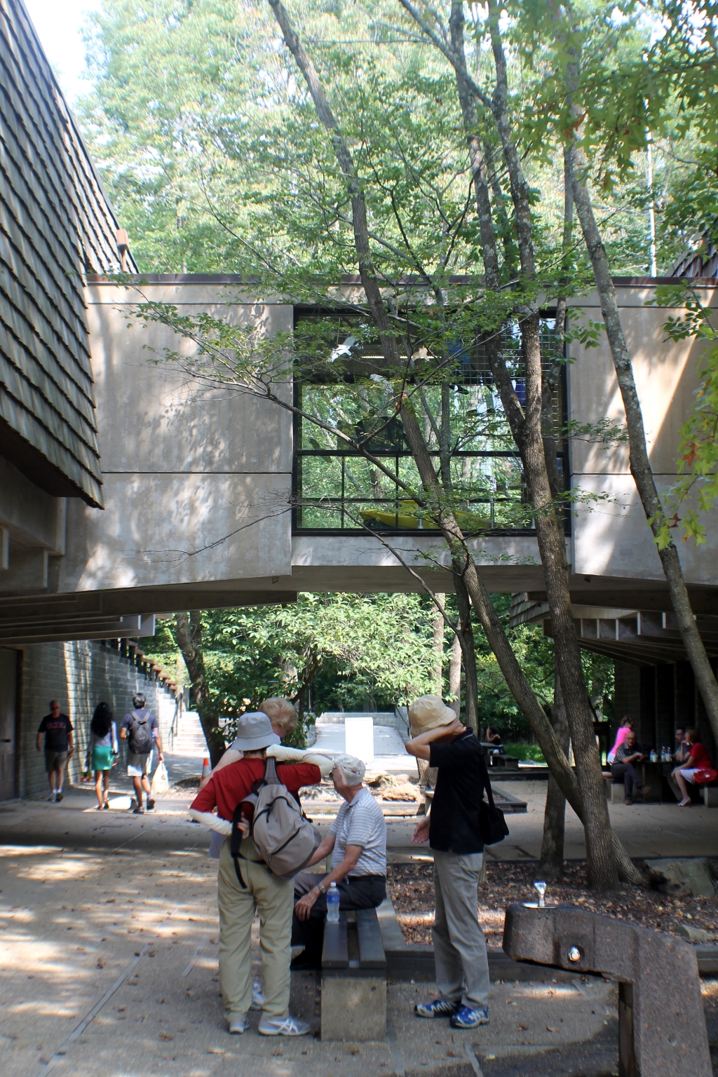
A snack bar is located in the Visitor Center courtyard. The snack bar is open seasonally from March through November, and offers light snacks, hot dogs, pizza, French fries, and drinks.
It was getting hot, so the motorcycle ride back home was refreshing.