On the last day of our stay in Virginia Beach, Dave and I decided to visit the Chesapeake Bay Bridge Tunnel and the Old Cape Henry Lighthouse. According to the official site The Chesapeake Bay Bridge-Tunnel (CBBT) is a 23-mile (37-km) long bridge-tunnel crossing the mouth of the Chesapeake Bay and connecting the Delmarva Peninsula’s Eastern Shore of Virginia with Virginia Beach and Hampton Roads, Virginia.
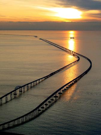
The Delmarva Peninsula is occupied by most of Delaware state and portions of Maryland and Virginia states. It is a modern engineering marvel and is considered the world’s largest bridge-tunnel complex, which was opened in 1965. This Bridge is considered as both a tourist attraction and a travel convenience. Here is a aerial view of the Chesapeake Bay Bridge-Tunnel from a postcard.
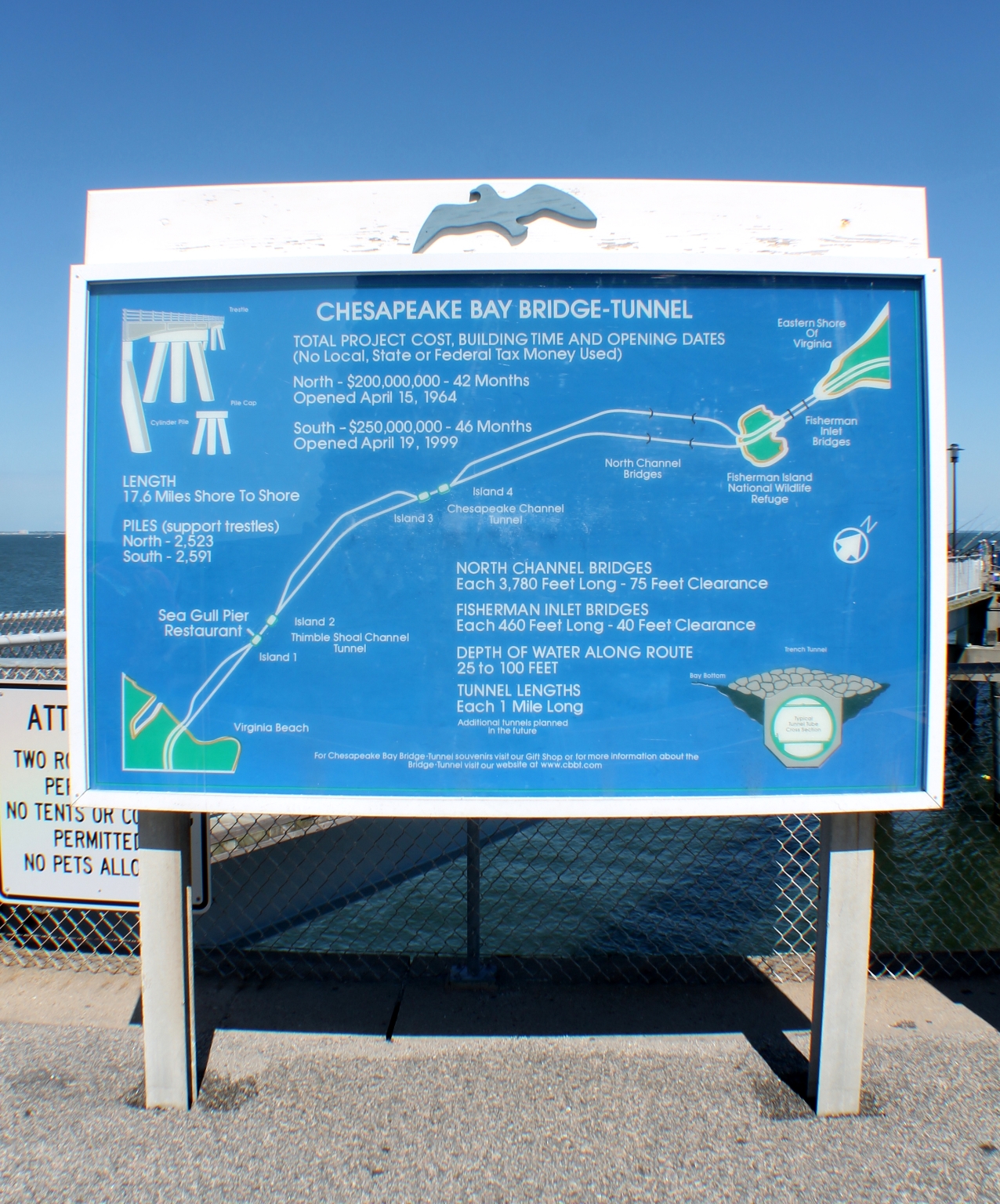
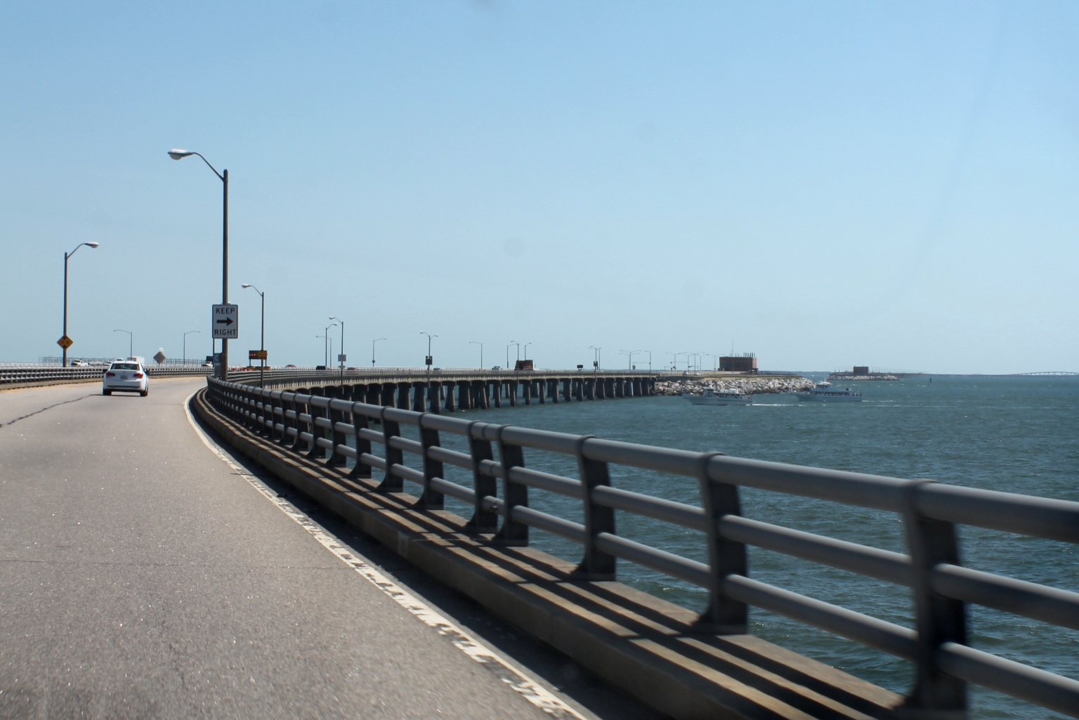
We started our ride from Virginia Beach. Our first stop was on the Sea Gull Island, one of four man-made islands on the Bay, located on the southernmost part of the Bridge-Tunnel. This island provides the traveling public an opportunity to stop, stretch their legs, grab a bite to eat, cast a line, birdwatch, or just take in the natural beauty and sounds of the Chesapeake Bay. The Chesapeake Bay Bridge-Tunnel map here is informative.
As seen on the map, the Chesapeake Bay Bridge-tunnel includes two one-mile (1.6 km) long tunnels beneath Thimble Shoals and Chesapeake navigation channels, four artificial islands, two high-level bridges over two other navigation channels: North Channel Bridge and Fisherman Inlet Bridge, Fishing Pier and more.
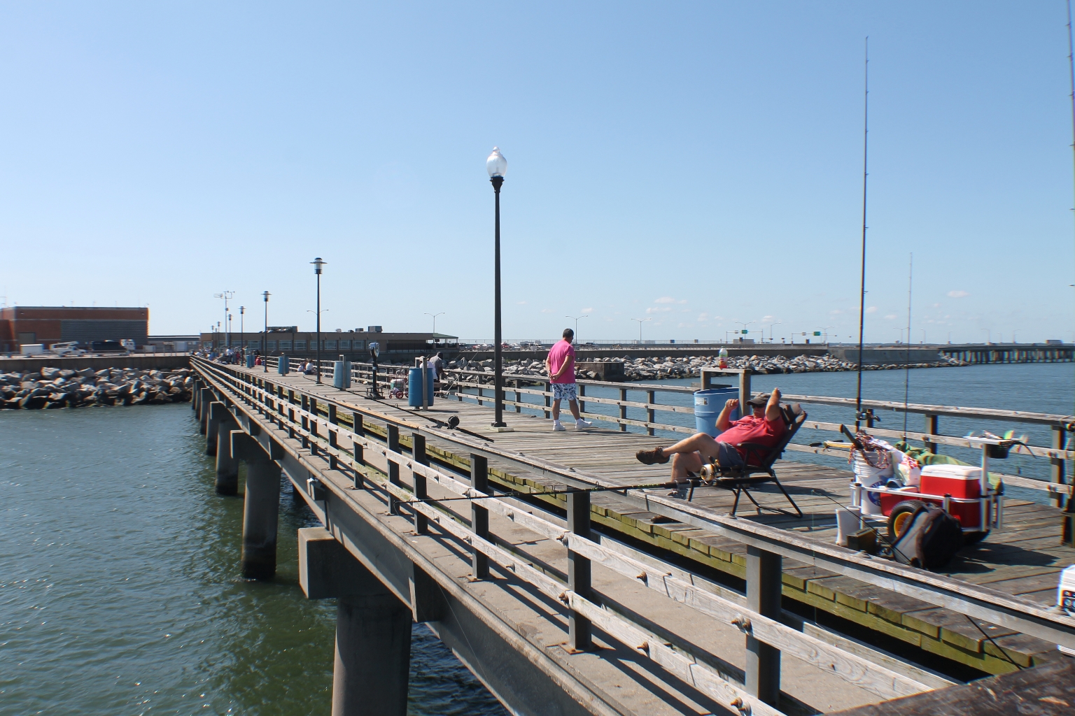
The Sea Gull Fishing Pier is seen below. The 625-foot fishing pier, located 3.5 miles off shore, provides anglers with a unique fishing opportunity, while leaving the boat at home. There is no additional fee for unlimited use of the fishing pier, but a one-way toll of $12 per car is collected to access the Chesapeake Bay Bridge-Tunnel. Tolls are paid in each direction. A fishing license is not required.
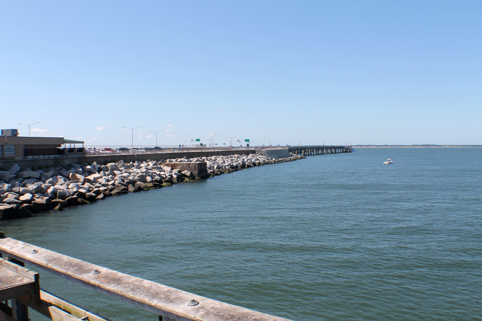
We parked our car and took a walk on the pier. The Fishing Pier is a place where bluefish, trout, croaker, flounder, shark, and other species of fish are caught. It is a place to observe Navy and commercial ocean-going ships glide gracefully through one of the world’s busiest shipping channels.
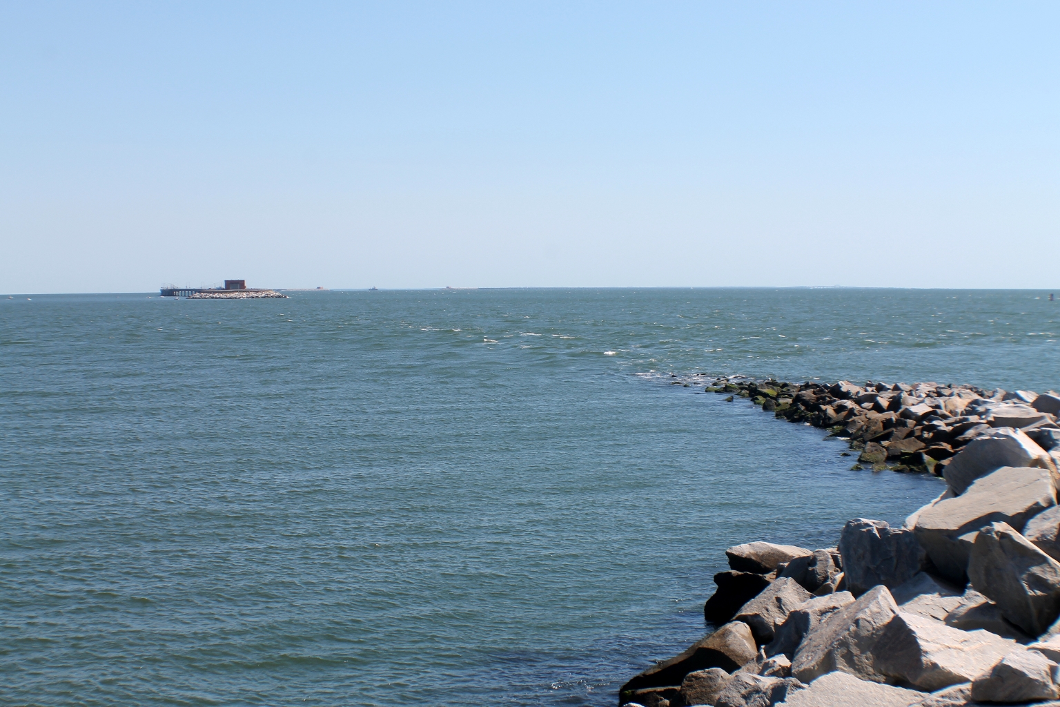
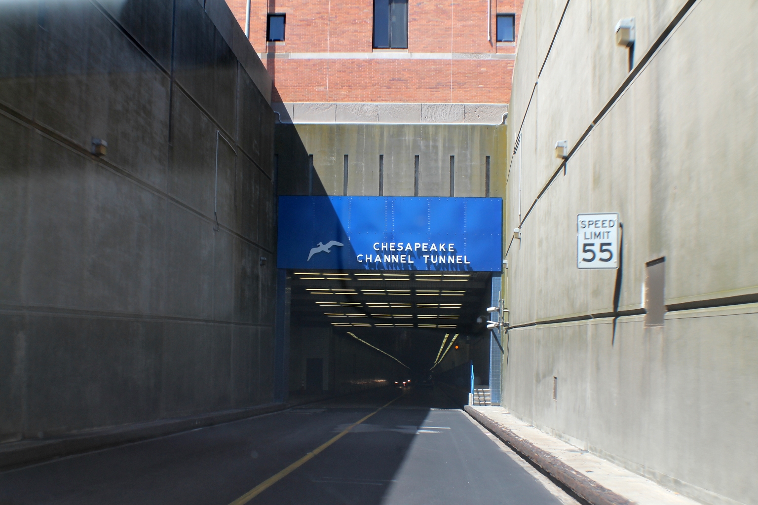
This is how the Thimble Shoal Channel Tunnel looks from the Fishing Pier. The purpose of building the tunnel under the water is the ability of massive ocean-bound freighters to pass over the top of them.
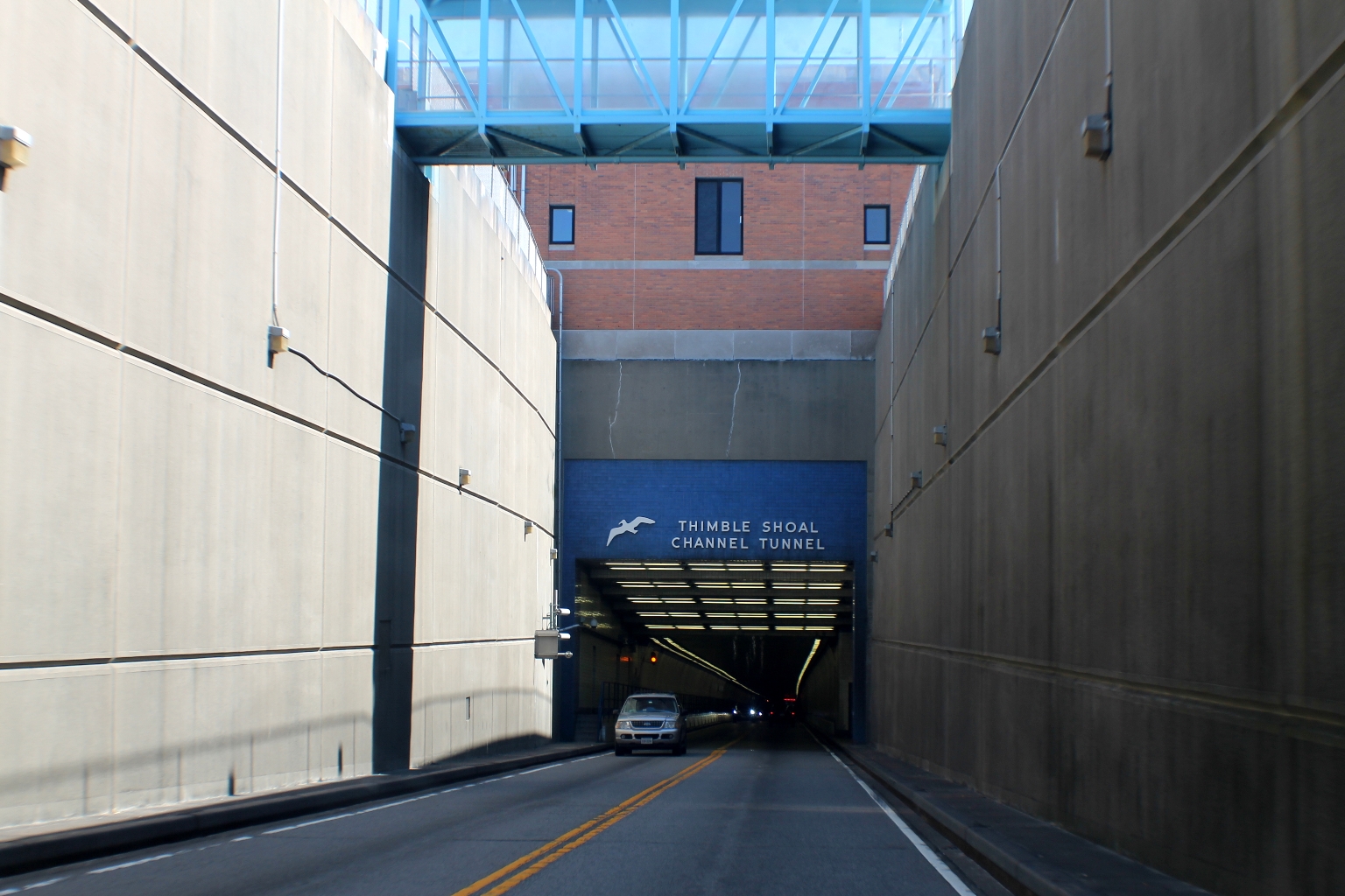
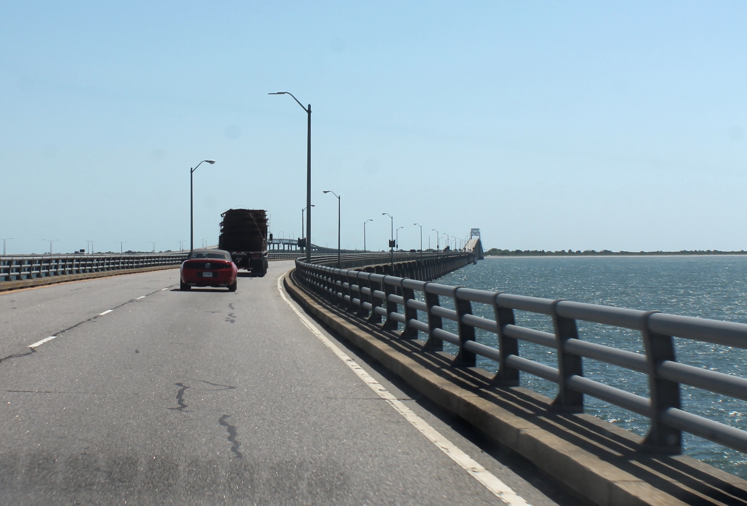
We are at the entrance to the same tunnel from Sea Gull Island.
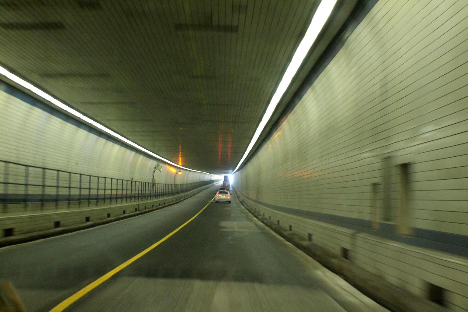
We didn’t hit much traffic in the tunnel. I guess, we picked the right time for a drive.
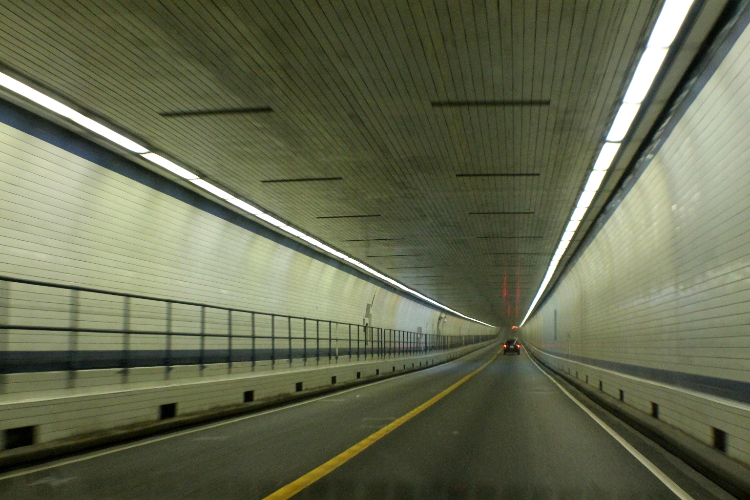
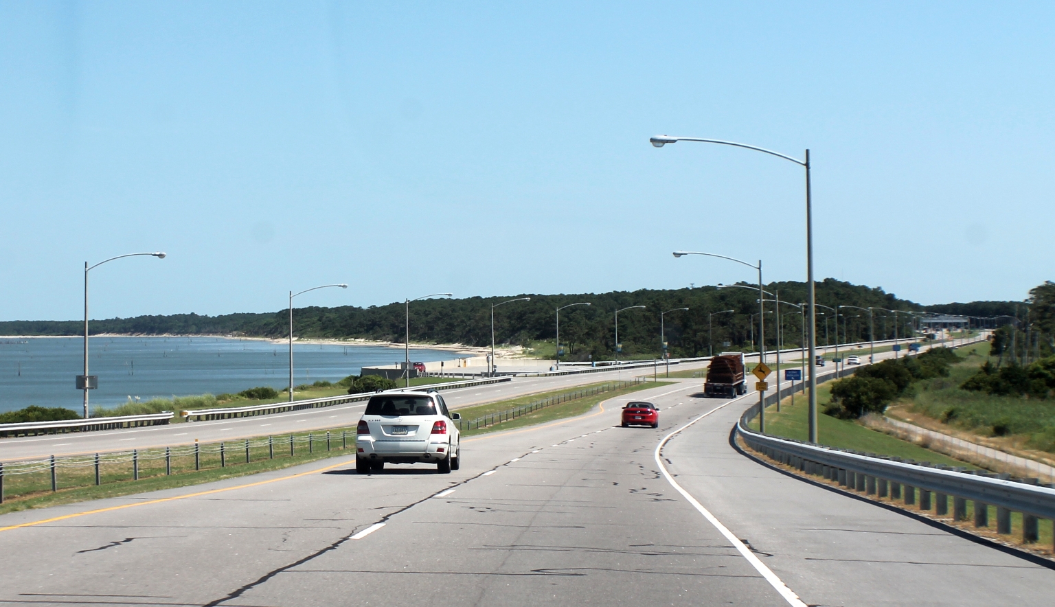
Approaching the second tunnel – Chesapeake Channel Tunnel.
Inside Chesapeake Tunnel.
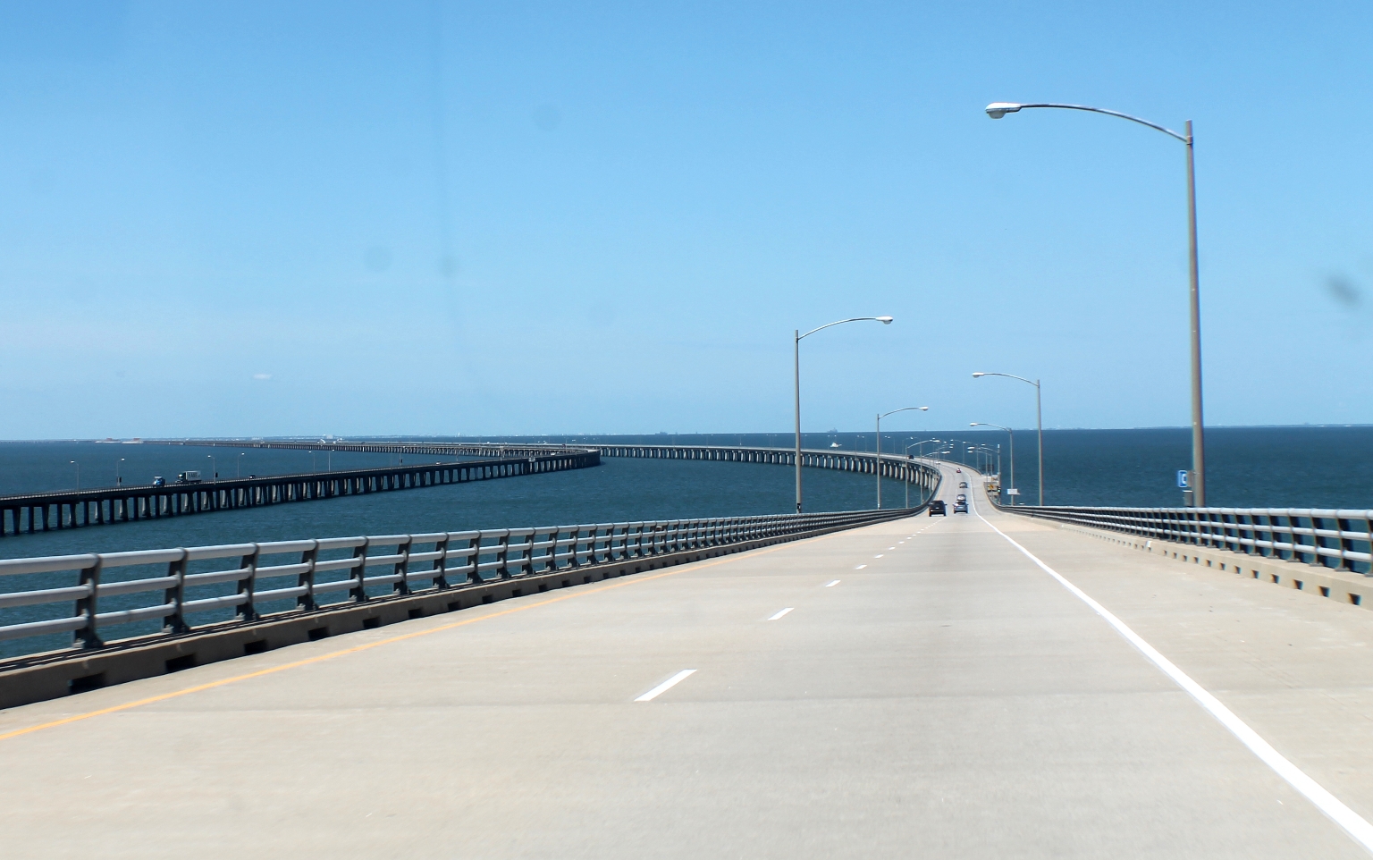
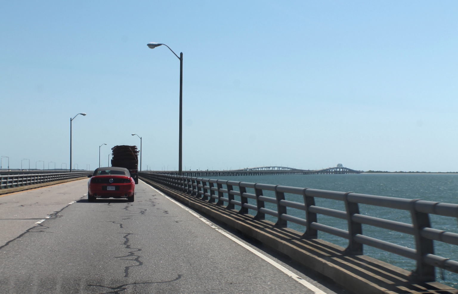
A view of the North Channel Bridge from the car.
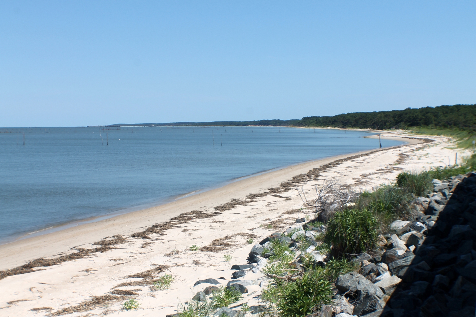
Here we are near the Eastern Shore of Virginia. We stopped at the Virginia Visitor center at the eastern end of the bridge. There was lots of information provided on things to do on the Eastern Shore. There are a state park with trails, beach and a hawk observation tower, as well as a Wildlife Refuge with beach, boardwalk, and nature pond – both within a mile or so of the eastern end of the bridge.
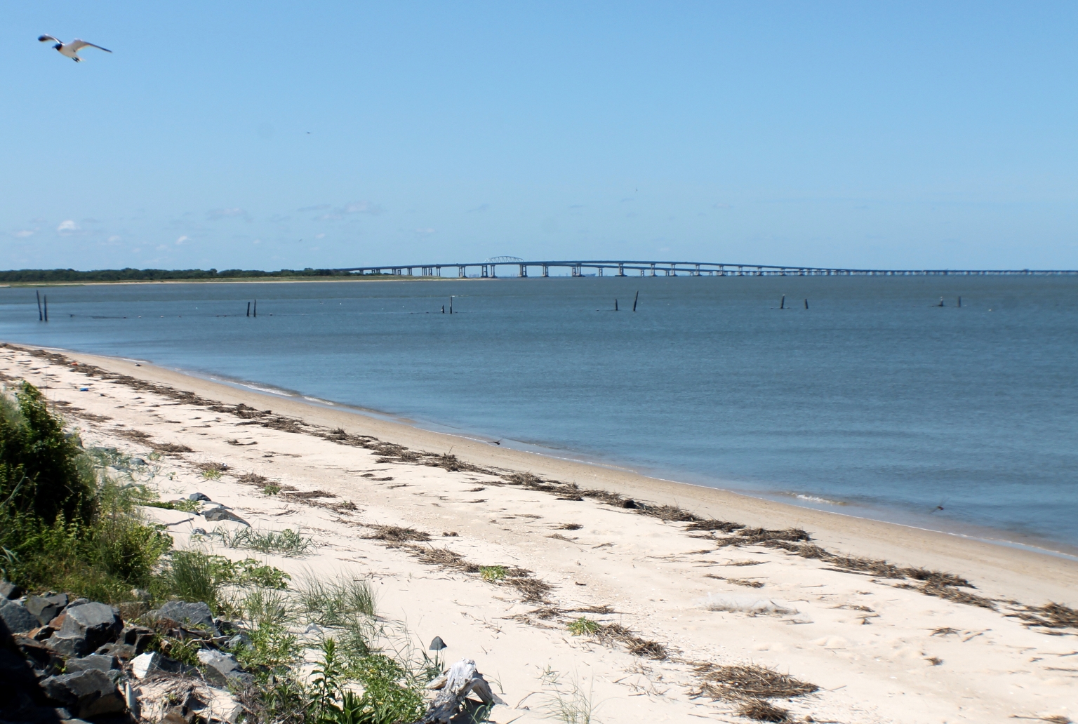
We stopped at the overlook of the eastern shores of Virginia.
We enjoyed the drive over the Chesapeake Bay Bridge Tunnel, which offers unparalleled views of the Atlantic Ocean and Chesapeake Bay.