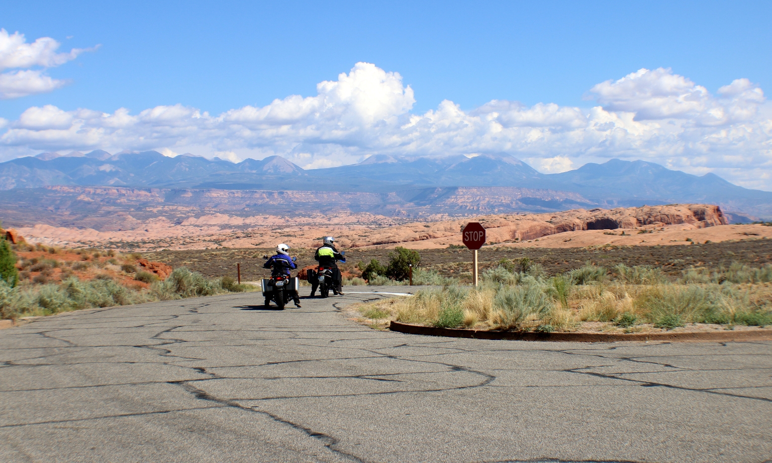
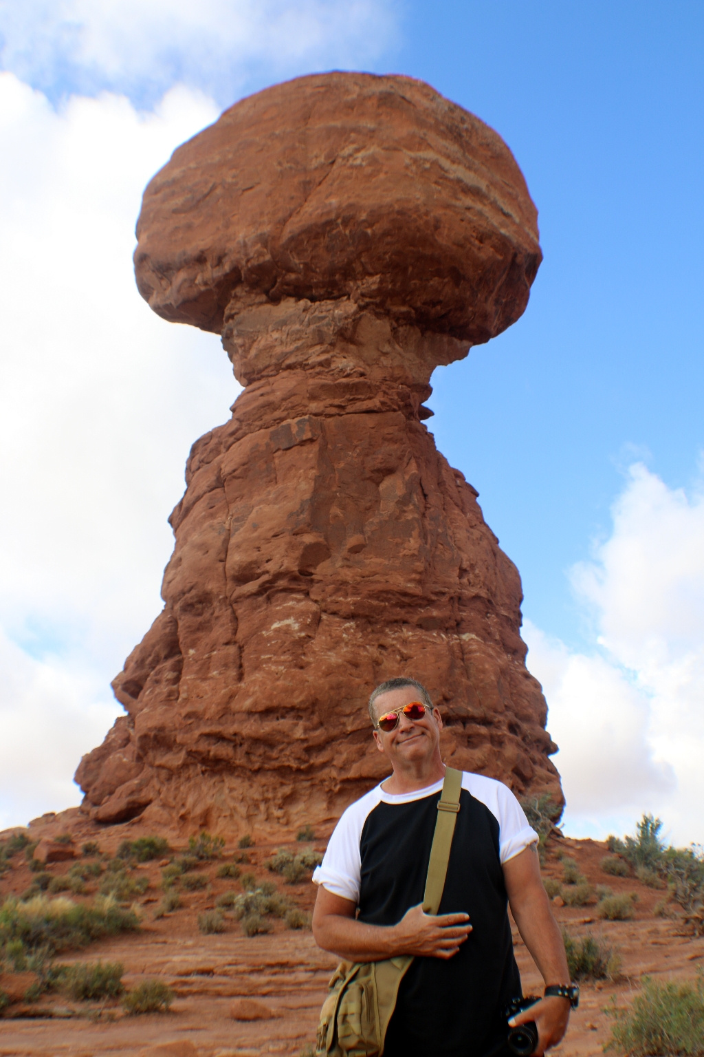
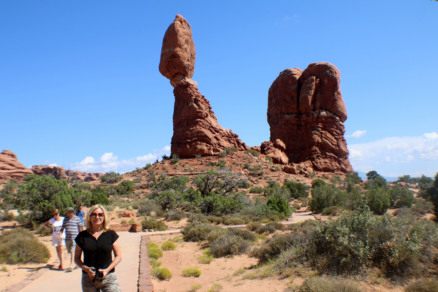
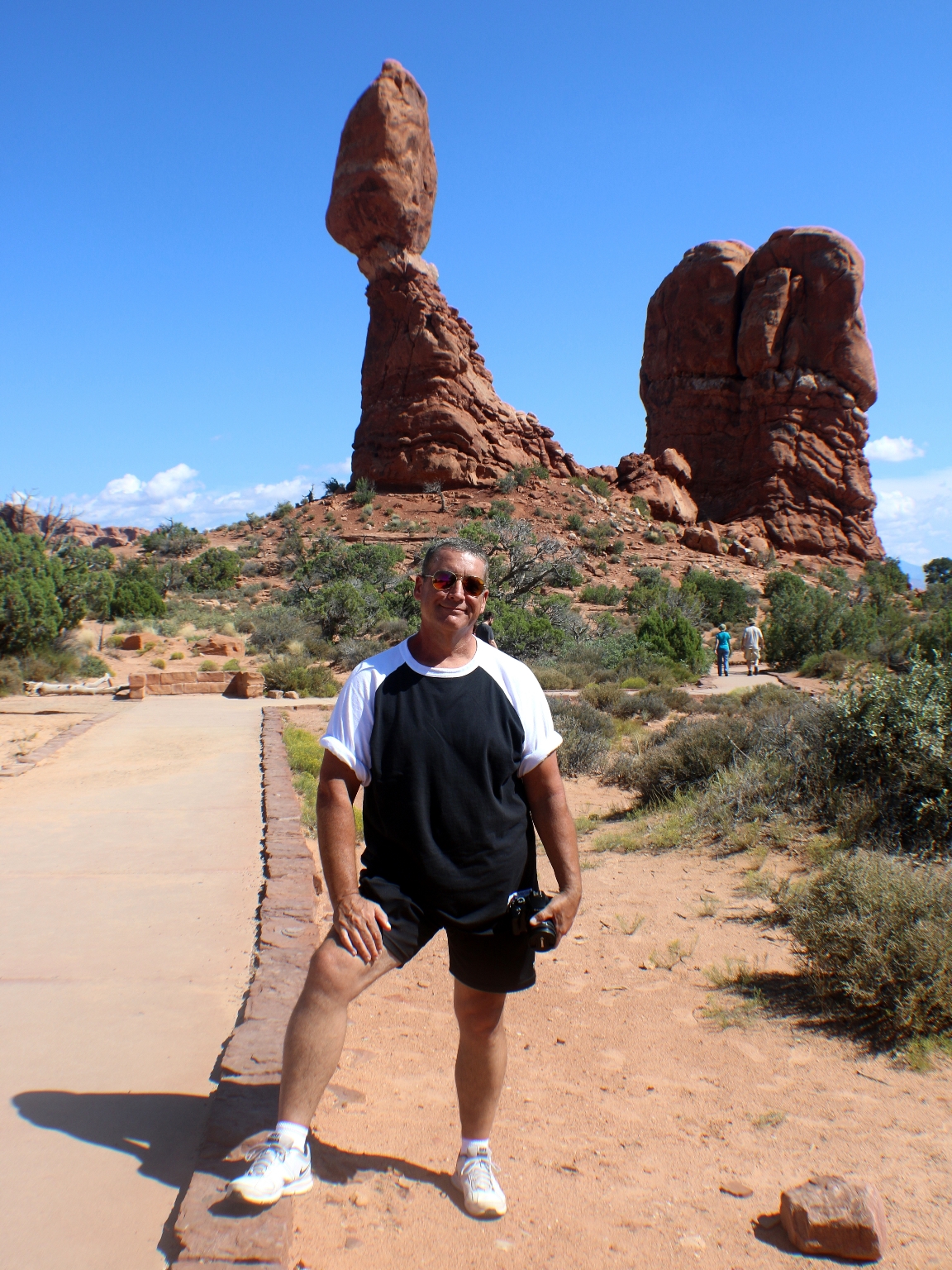
We started from where we left yesterday, from the Balanced Rock formation.
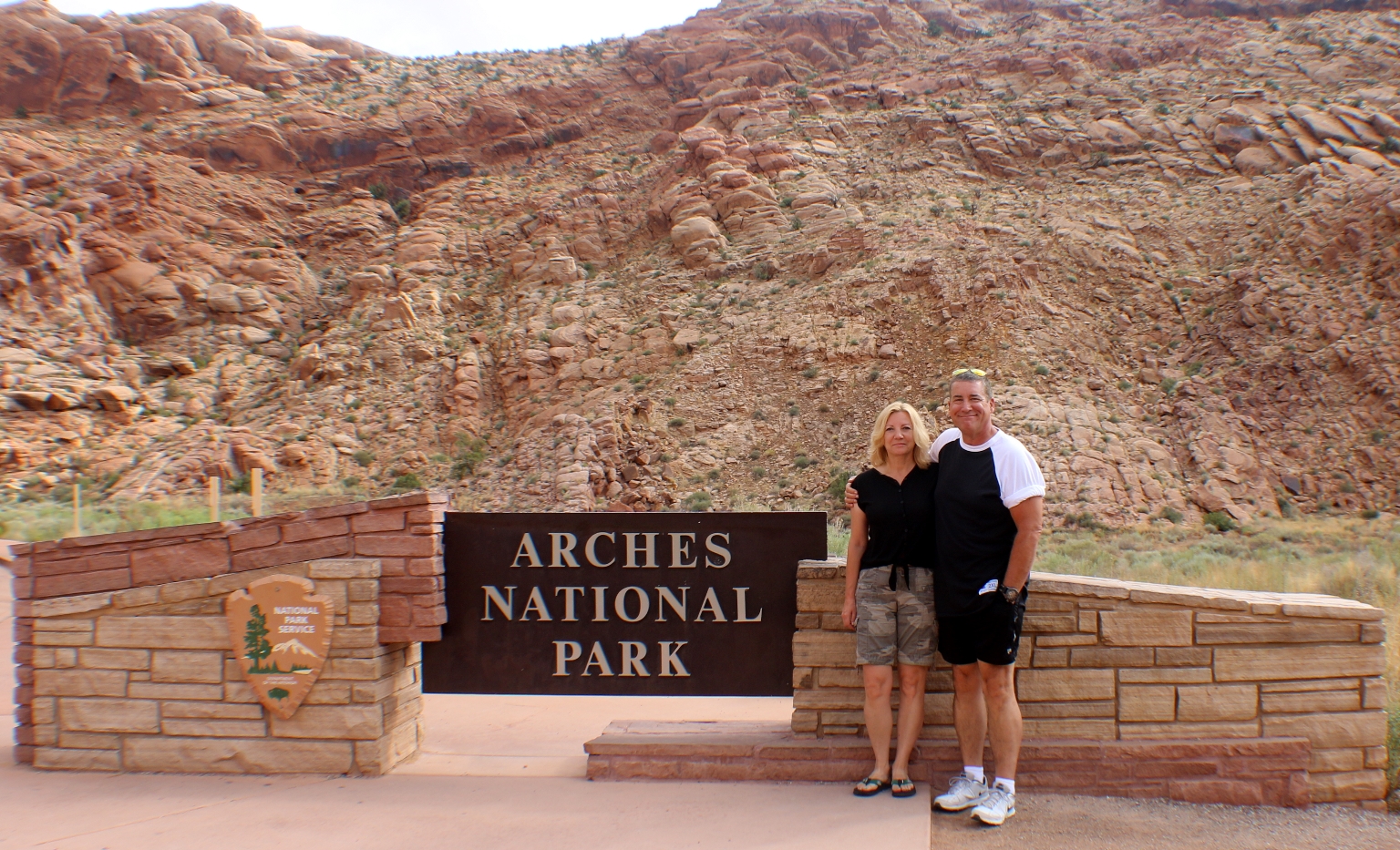
The weather was perfect today, so we arrived at Arches National Park early in the morning. Here we are at the entrance.
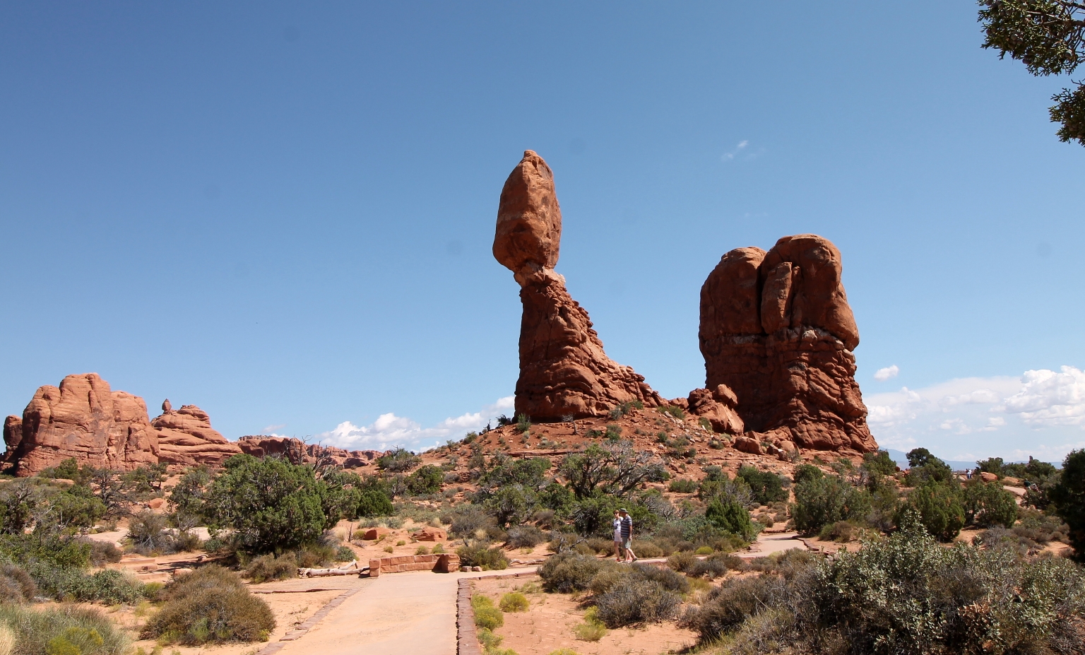
It is very easy to navigate through the park. An 18 mile paved scenic drive leads to all the major viewpoints and trailheads within the park. A parking lot is available next to the Balanced Rock. We took a short 1/3 mile paved loop trail around this picturesque formation. These impressive free-standing slabs of rock have a total height of 128 feet, with the huge balanced rock rising 55 feet alone.
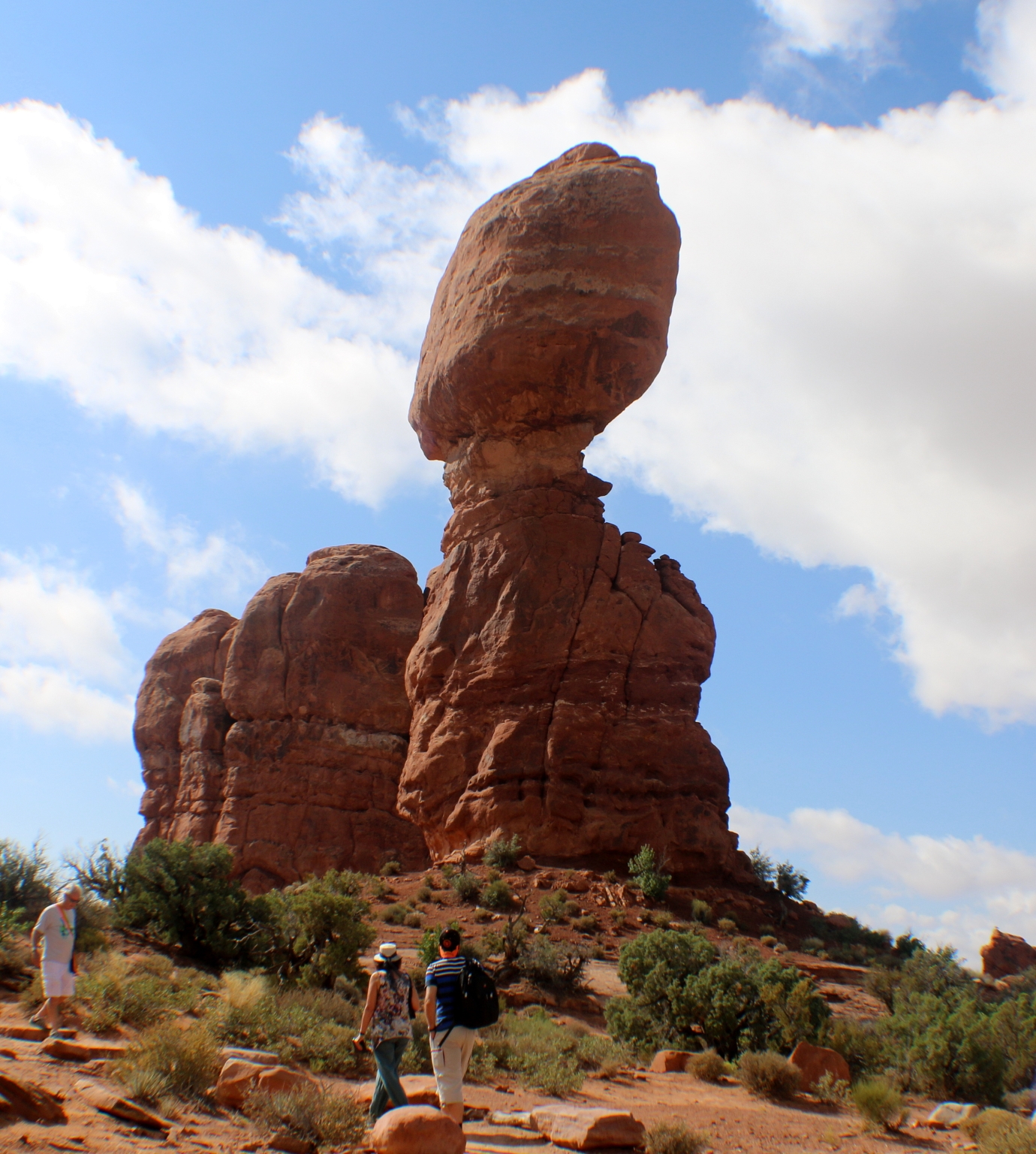
There is a nice view of Balanced Rock from the parking lot, but the short trek is worth taking as the profile of the rock shifts dramatically from different angles.
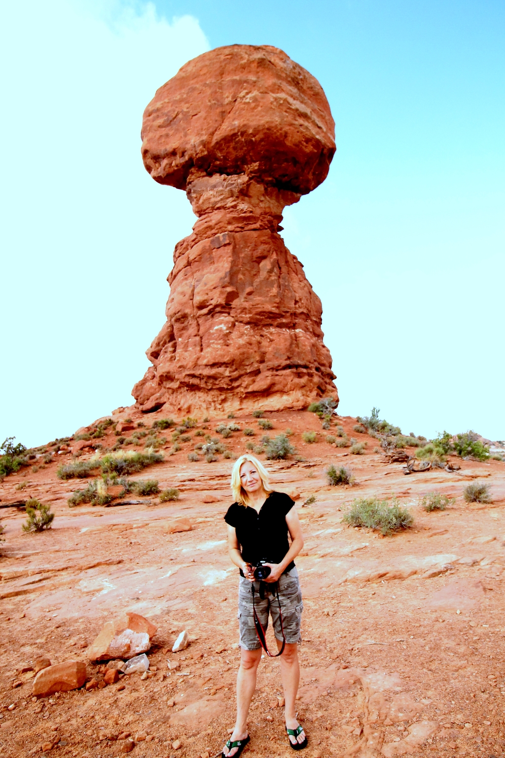
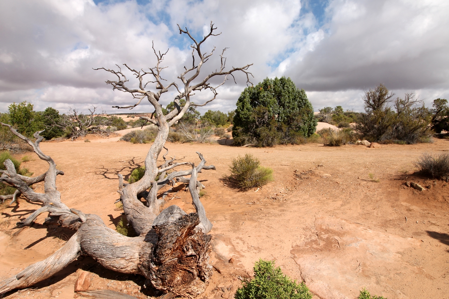
The short hike around Balanced Rock is equally enjoyable in both directions. It was nice to stop and look at the surroundings around Balanced Rock.
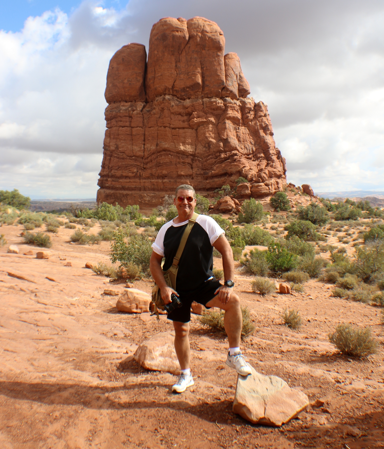
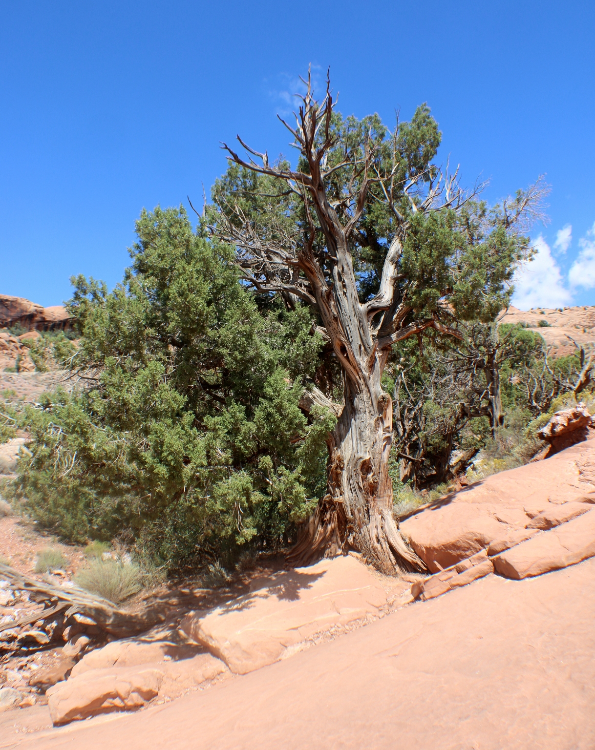
We noticed this interesting formation while walking the trail around Balanced Rock.
Our next stop was the Windows section.
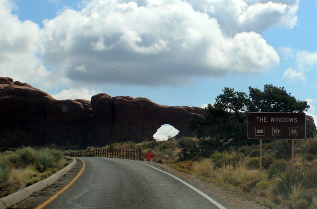
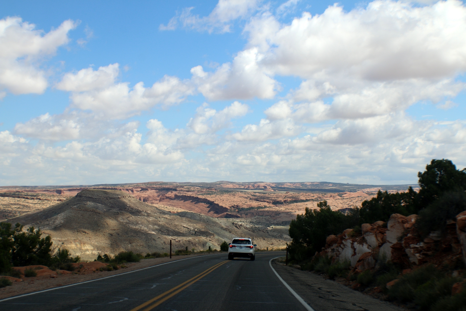
We stopped to enjoy the beautiful views on our way to Windows.
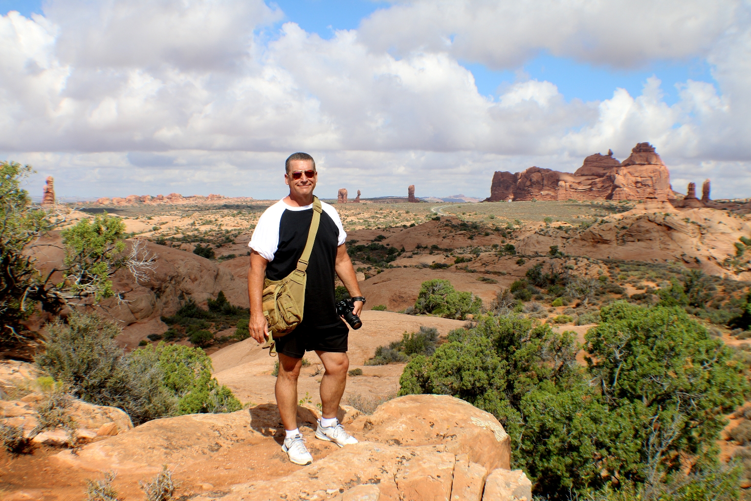
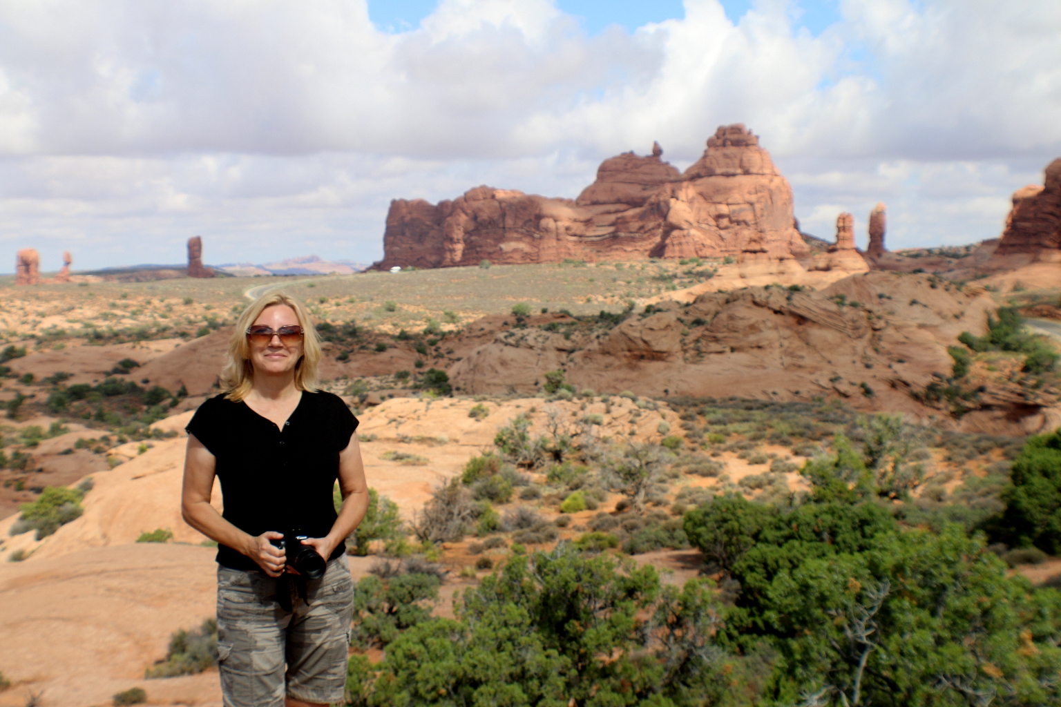
Arches of all shapes and sizes are seen everywhere.
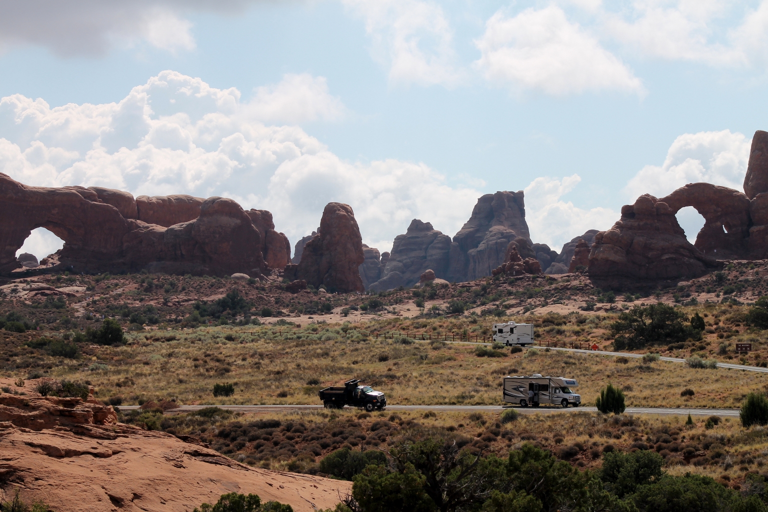
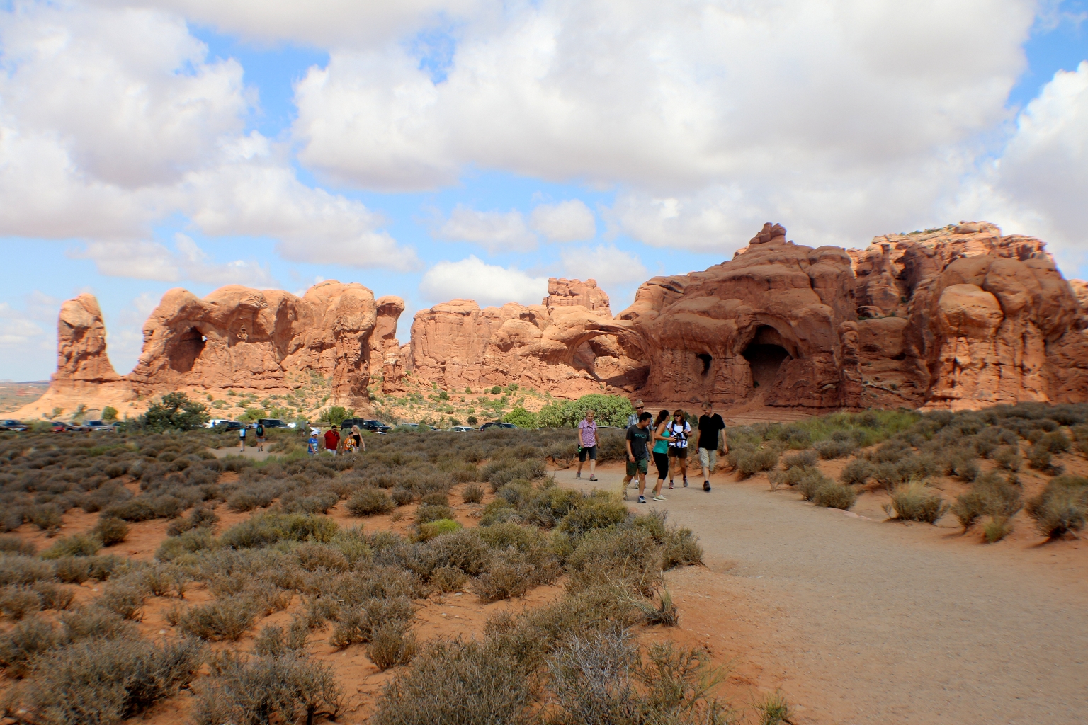
This is Parade of Elephants, one of the first things we saw at Windows. The name says it all. This series of Entrada Sandstone arches is grouped together like elephants in a parade.
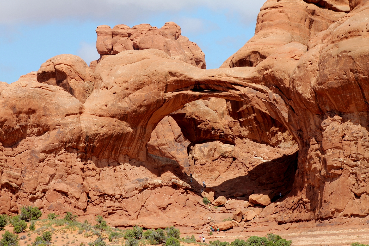
Dave took this nice telephoto shot of one of the arches from the middle of Parade of Elephants.
A gentle climb up a gravel trail leads to the massive North Window, South Window, and Turret Arch. The Windows Section has a series of short interconnected trails that provide access to all three huge arches. The well-marked one-mile trek makes it easy to visit these impressive arches in a short period of time.
The North and South Window Arches form openings in the same sandstone fin, while Turret Arch stands within a more castle-like formation. The North and South Windows are also called “The Spectacles” because from a distance they resemble glasses.
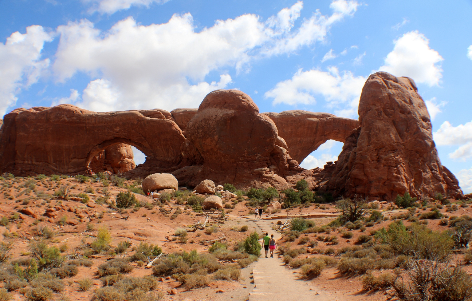
Two arches of North and South Windows are joined by a band of rock known as the “Nose Bridge”.
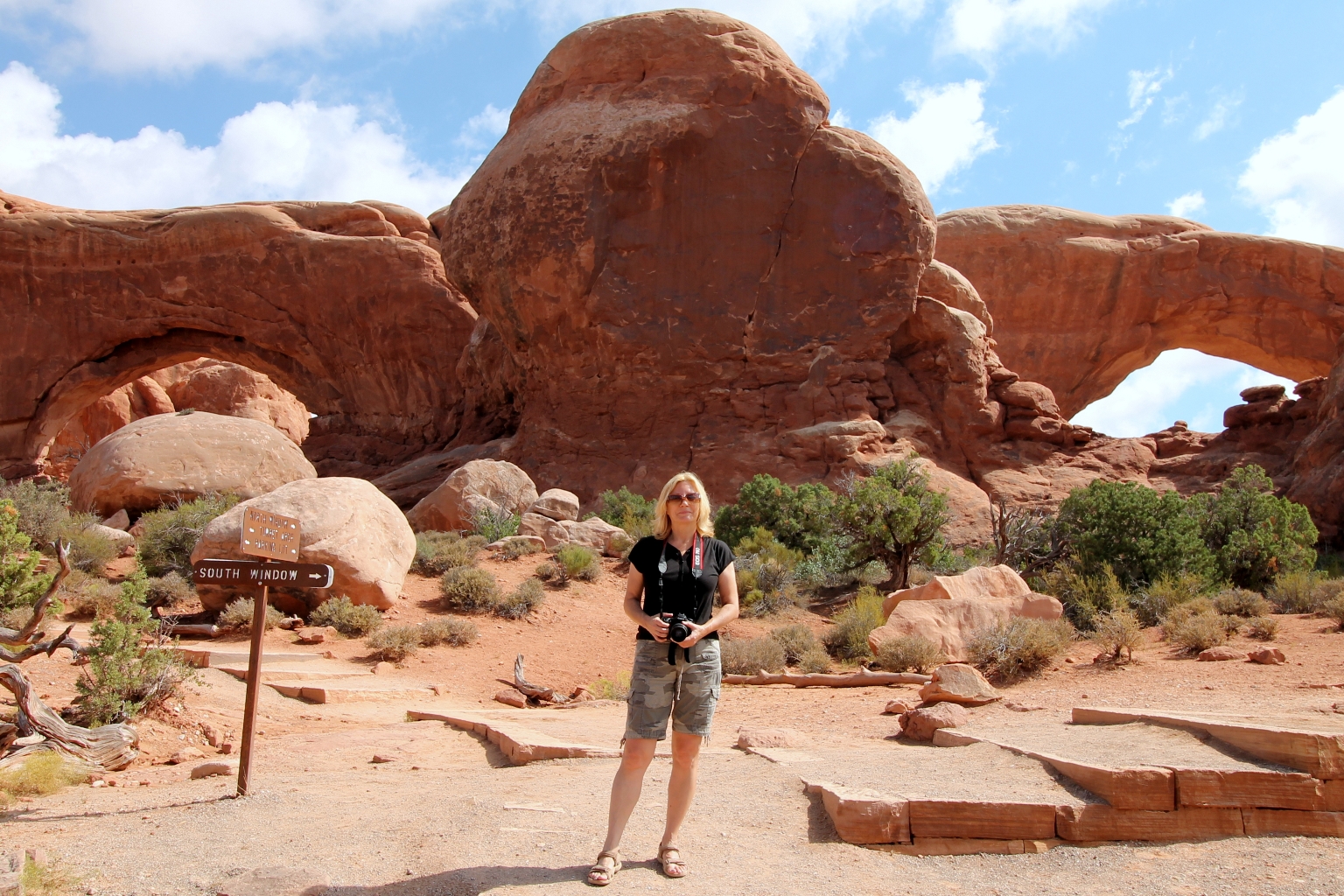
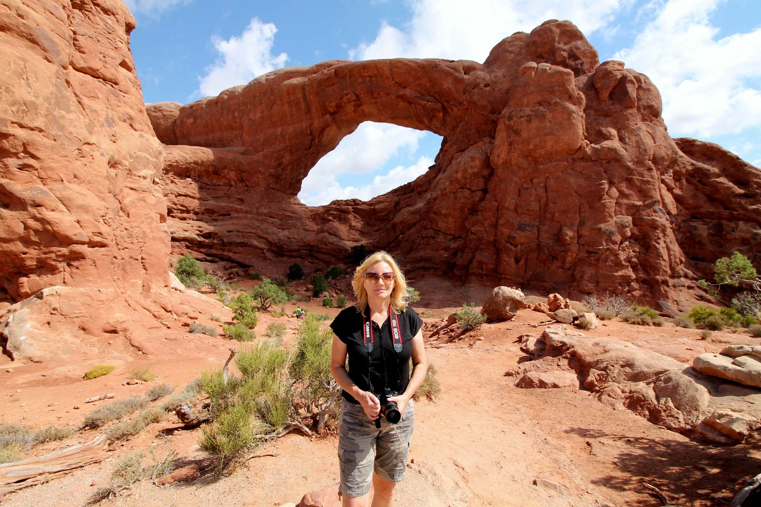
We started with North Window, which is 51 feet high and 93 feet wide.
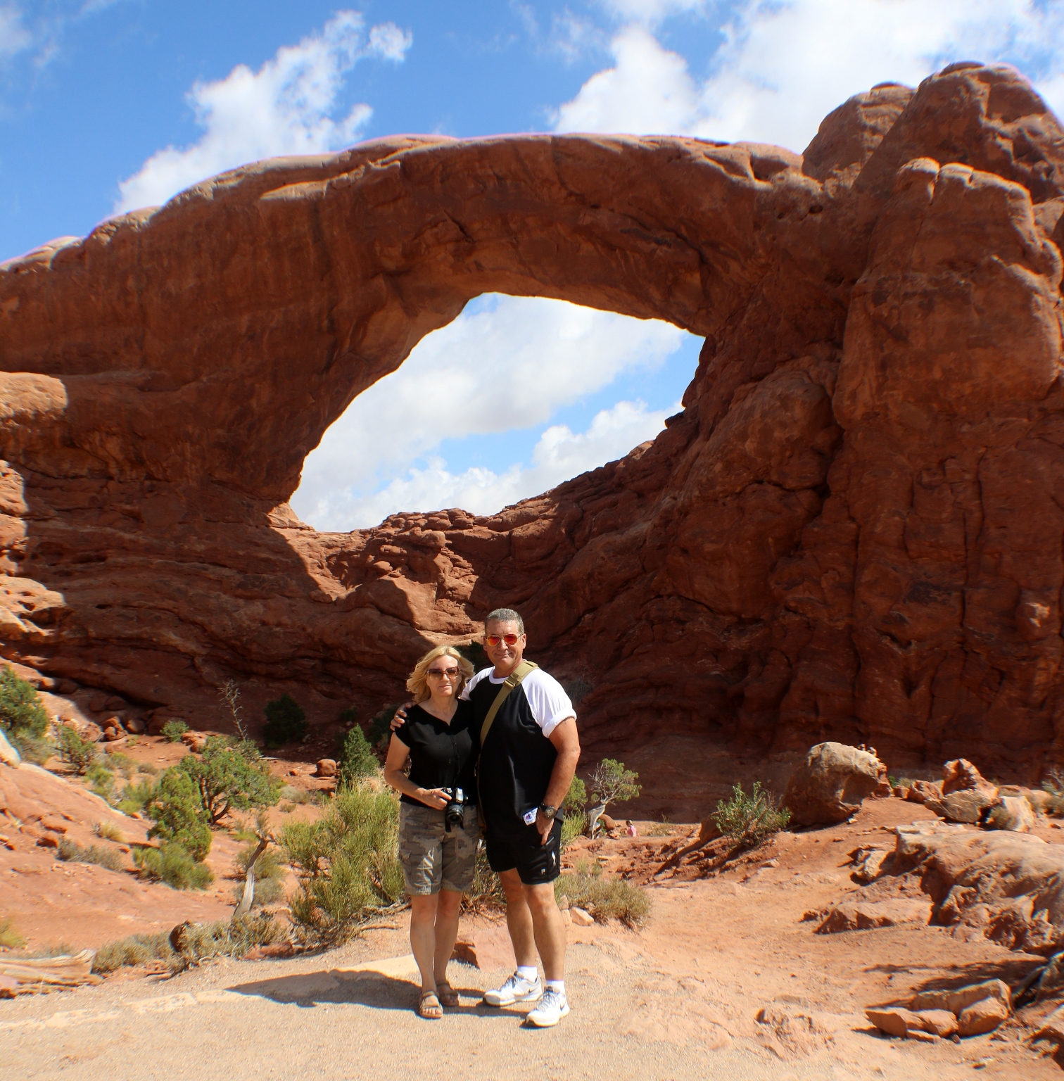
At 105 feet long and 65 feet high, South Window is the third largest arch in the park.
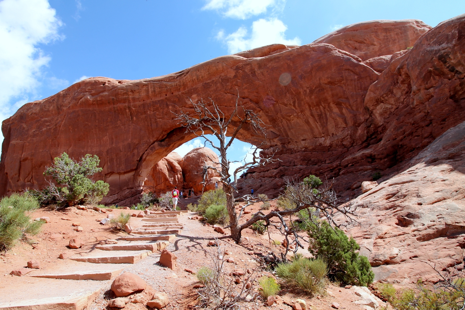
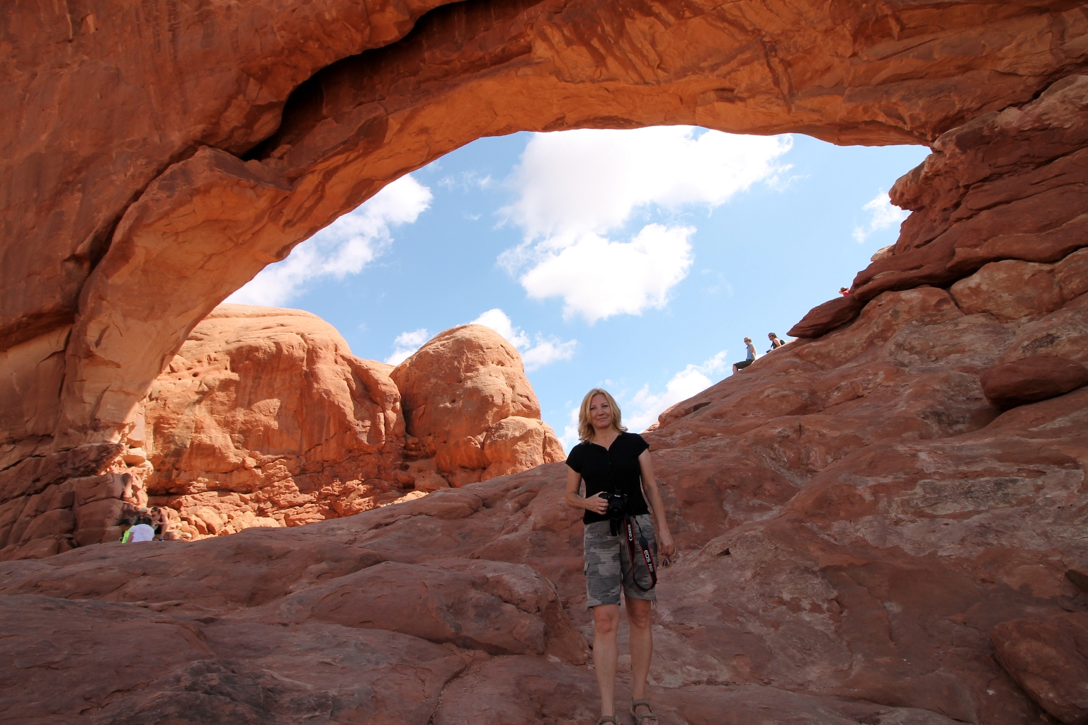
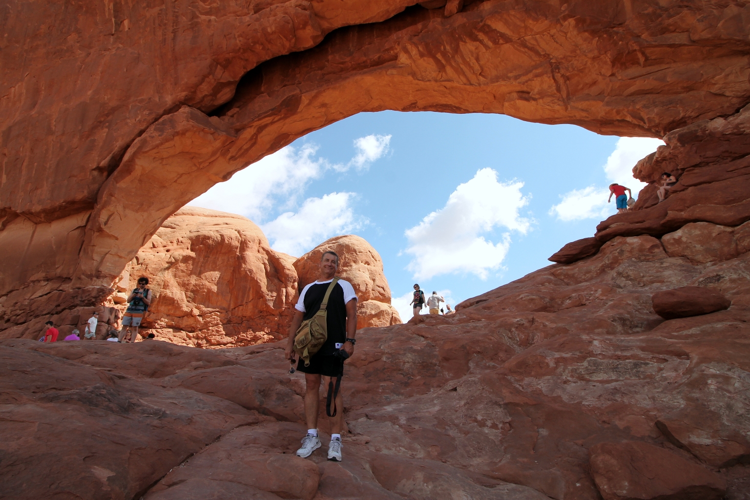
As we approach the South Window, we saw a bunch of hikers standing under the large South Window Arch. There is also a primitive loop trail that circles around the back of the Windows Section that gives hikers a different perspective of the area.
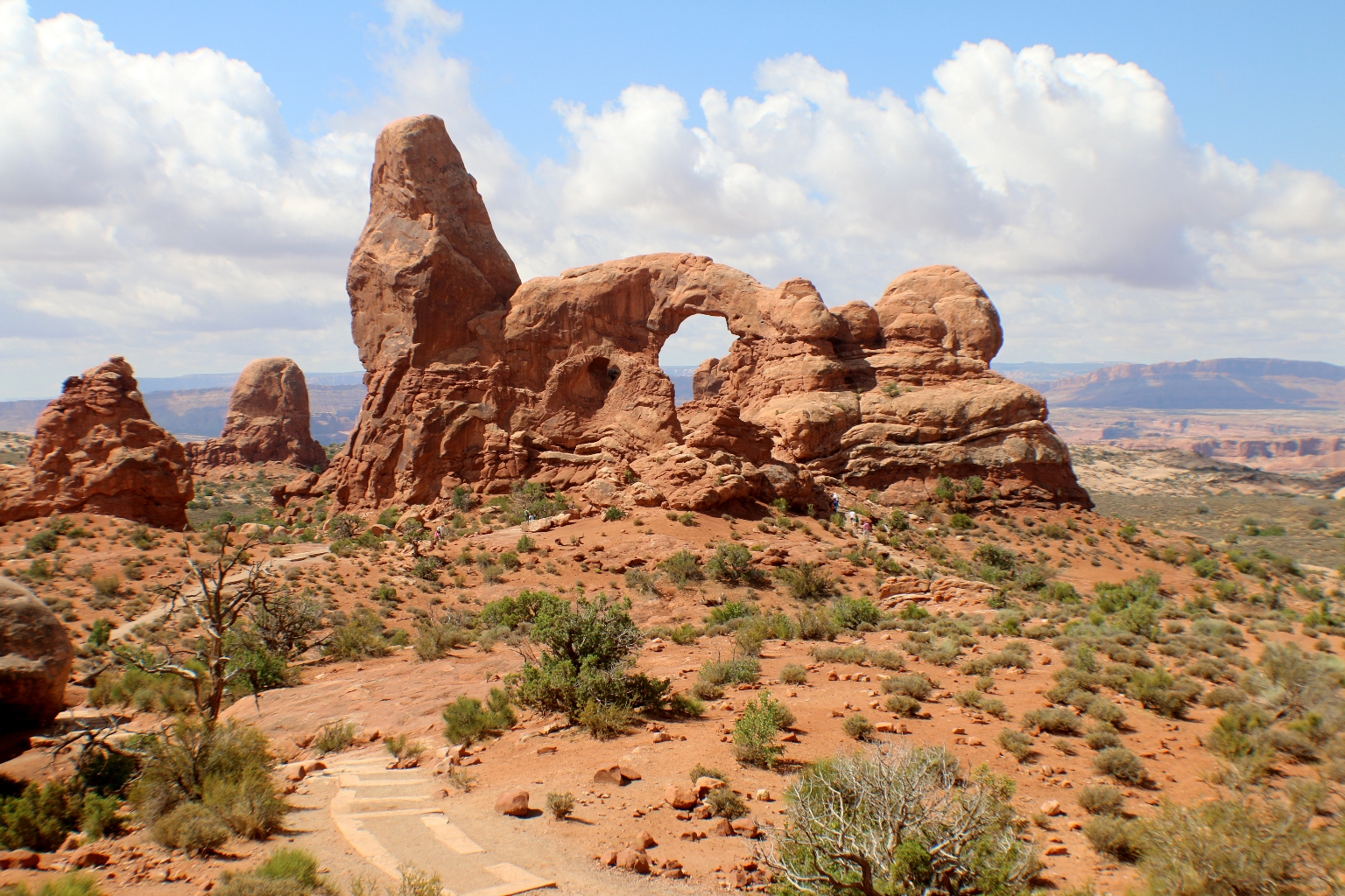
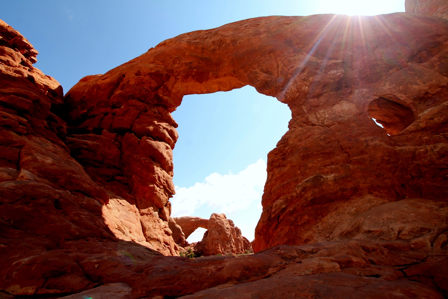
The second window on Turret Arch gives the 64 foot high 39 foot wide formation a keyhole shaped appearance. The arch has also been known as the “kneeling camel” and the “jail house”. Turret Arch is the smallest of the three. Step through the span for a view of the Windows framed by Turret Arch. When done, proceed around the loop and down to the trailhead.
Arches contains a variety of hiking trails, many of which are considered easy to moderate. Trails provide access to outstanding viewpoints and arches not visible from the road. In some cases, trails travel under arches, affording quite a unique perspective on the park’s namesake features. Walking inside of Turret Arch.

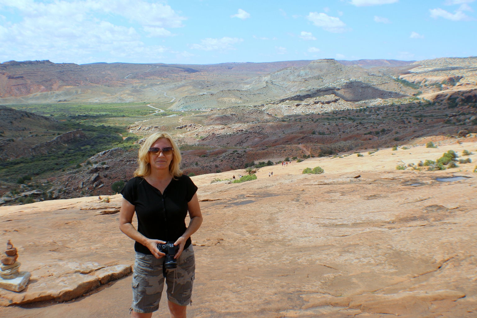
Here we are on our way to one of the most famous arches in the park – Delicate Arch. We saw so many pictures of this arch, so we were excited to see The Arch with our own eyes.
While driving further through the park, we saw the Delicate Arch sign. We couldn’t leave the park without seeing the famous arch. The emblematic arch appears on the Utah License plate, and while it is certainly not the largest in the park, it is probably the most memorable. The overlook was closed for some reasons, so we went straight to the trail. Anyway, the best way to see Delicate Arch is to hike right up to it. The trail is 3 miles (4.8 km) roundtrip and climbs 480 feet (146 m). It is considered a difficult trail.
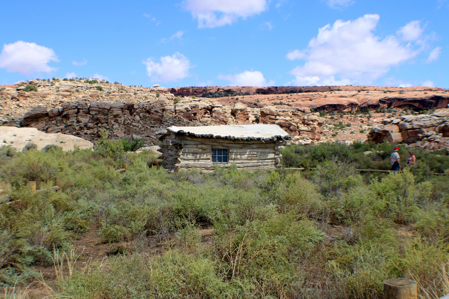
It begins from Delicate Arch Trailhead and heads east past Wolfe Ranch, the former home of the park’s earliest Caucasian inhabitants. The homestead was built alongside a salt marsh, which the trail crosses with the help of a wooden bridge. Here is the Wolfe Ranch cabin.
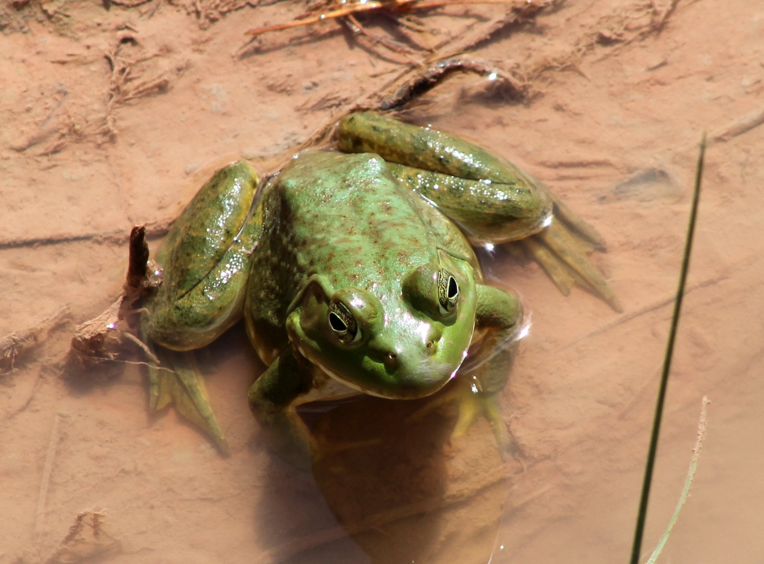
While crossing the wooden bridge near Wolfe Ranch, Dave took a telephoto shot of this cute bright green frog sitting in the mud under the bridge.
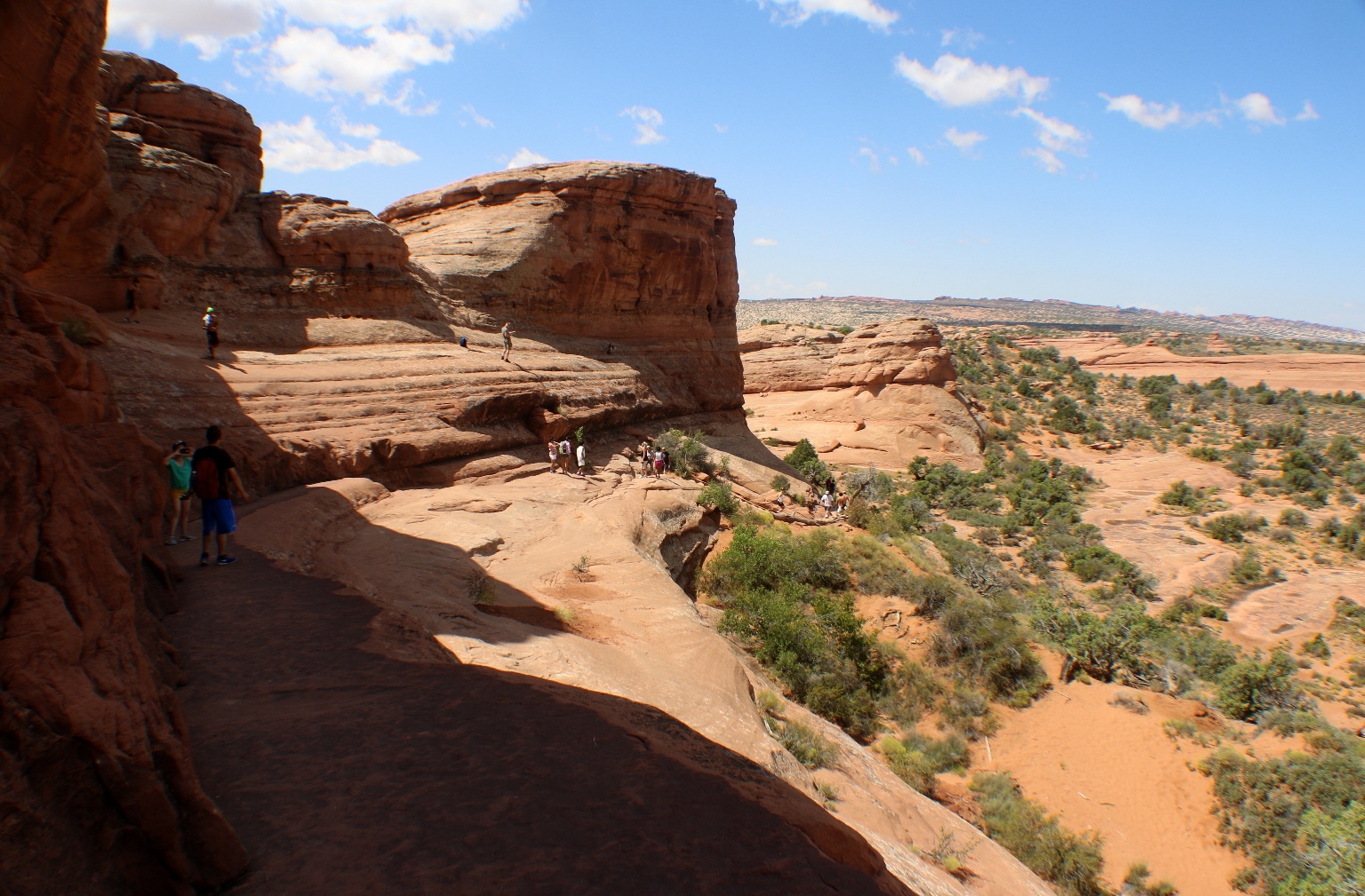
The trail climbs steadily and levels out toward the top of this rock face.
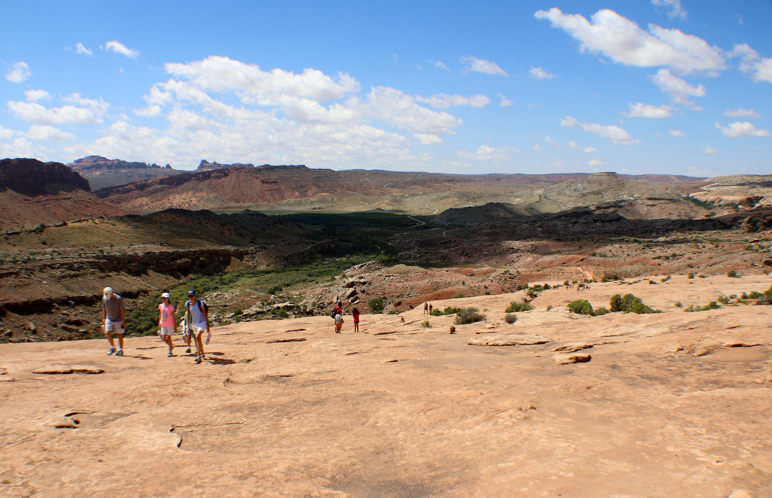
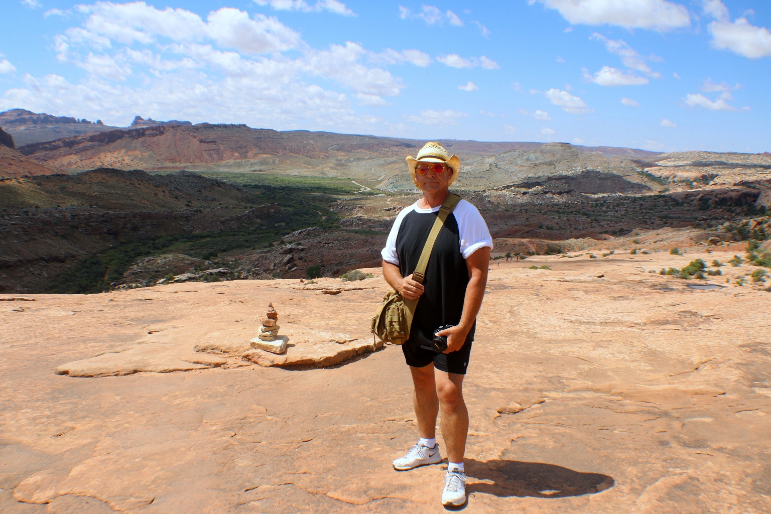
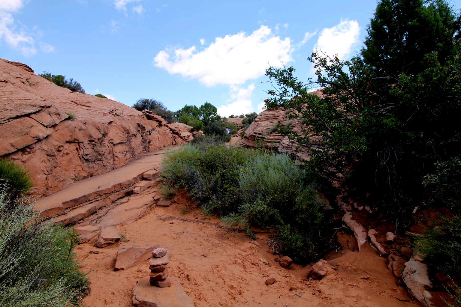
The first half mile is a well defined trail. It was helpful to follow the rock cairns, like this one behind Dave.
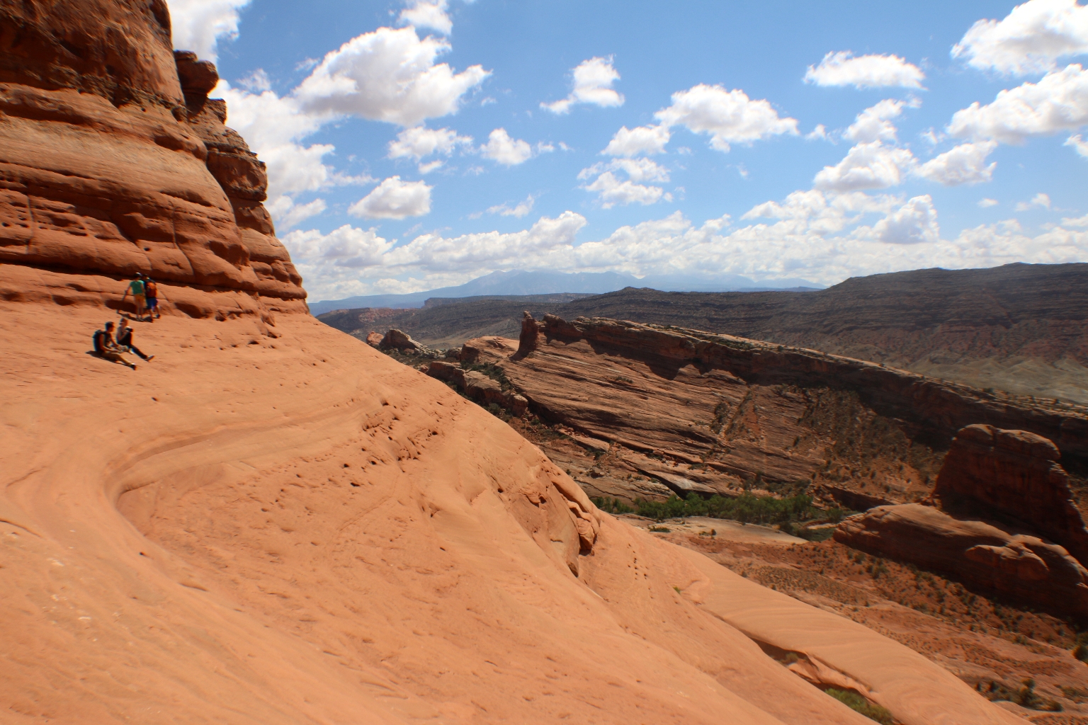
Following the trail. It is an open trail with practically no shade. Besides, This trail takes a gradual climb up slick rock slopes, eventually ascending 500 feet to the arch. The wide gravel trail is reduced to a weathered line across exposed sandstone.
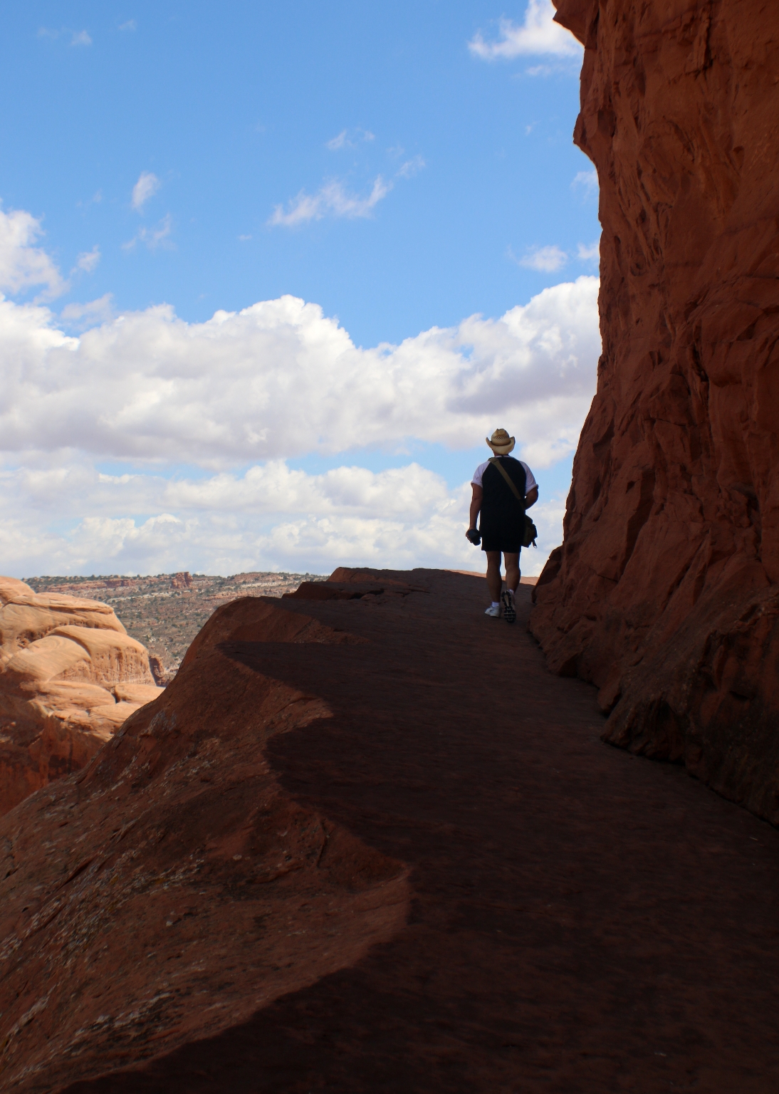
Just before you get to Delicate Arch, the trail traverses a narrow rock ledge for about 200 yards (183 m). Here is a miracle – a little shade. 🙂
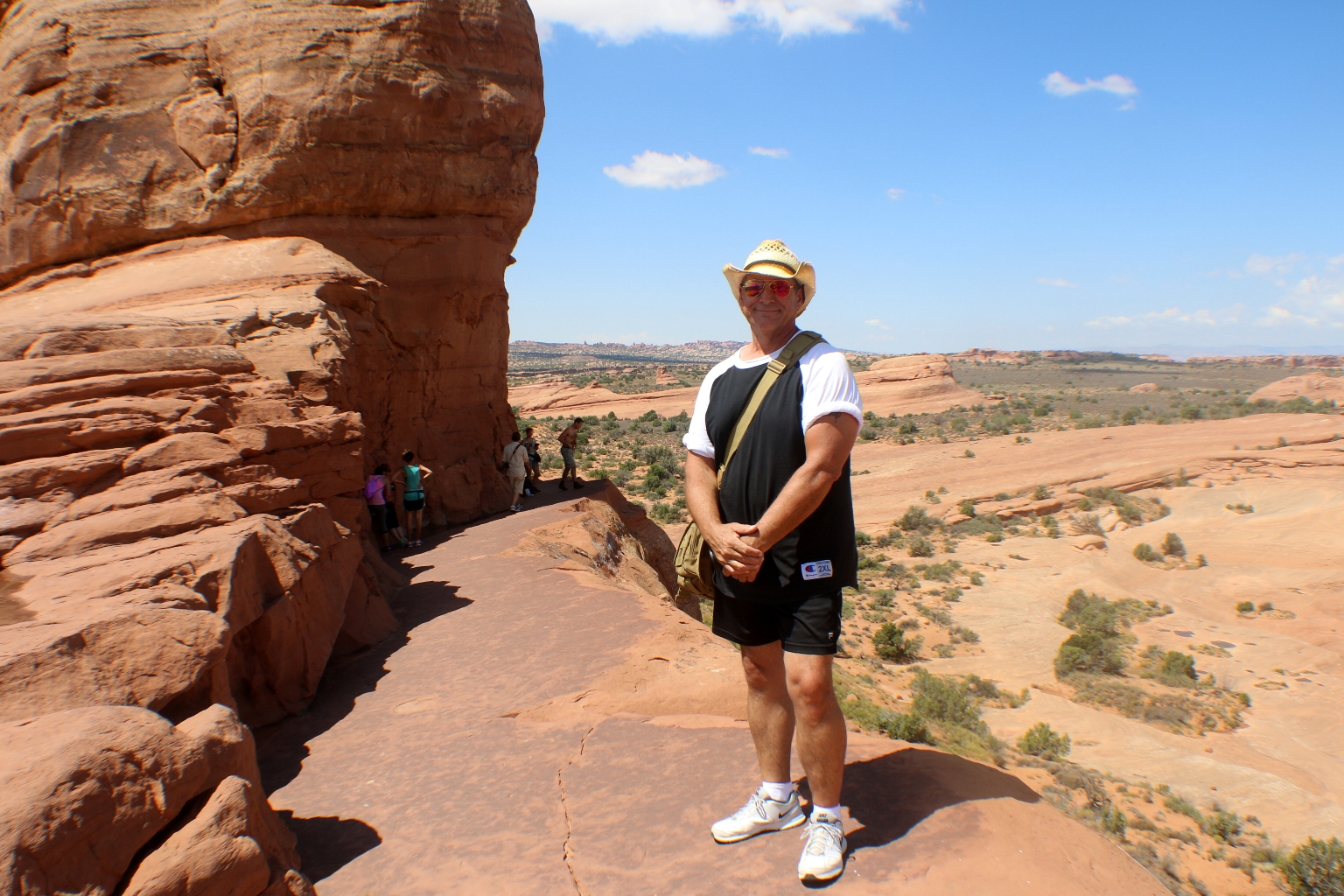
Dave is on the last part of the trail to our destination. Right after this trail turnout is Delicate Arch.
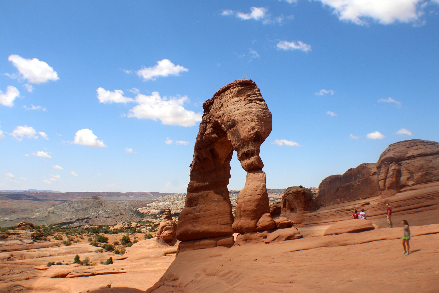
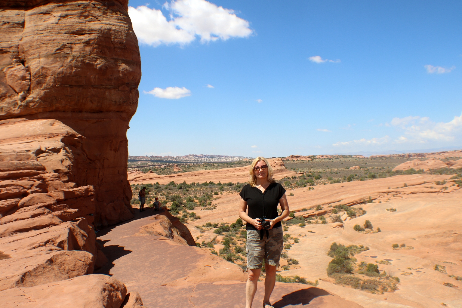
The mile and a half journey to Delicate Arch felt long, but as we traversed the ledge, the trail curved to the right and Delicate Arch appeared. Wow, what an amazing sight! Delicate Arch stands in an open area where the surrounding stone has been removed. It looks incredible! The arch does appear delicate. There is something special about this place that is hard to describe. I wish we could visit it around sunrise or sunset as well.
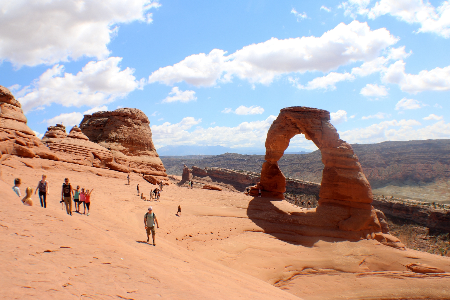
The Delicate Arch surroundings.
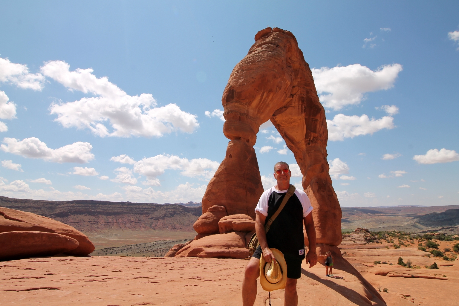
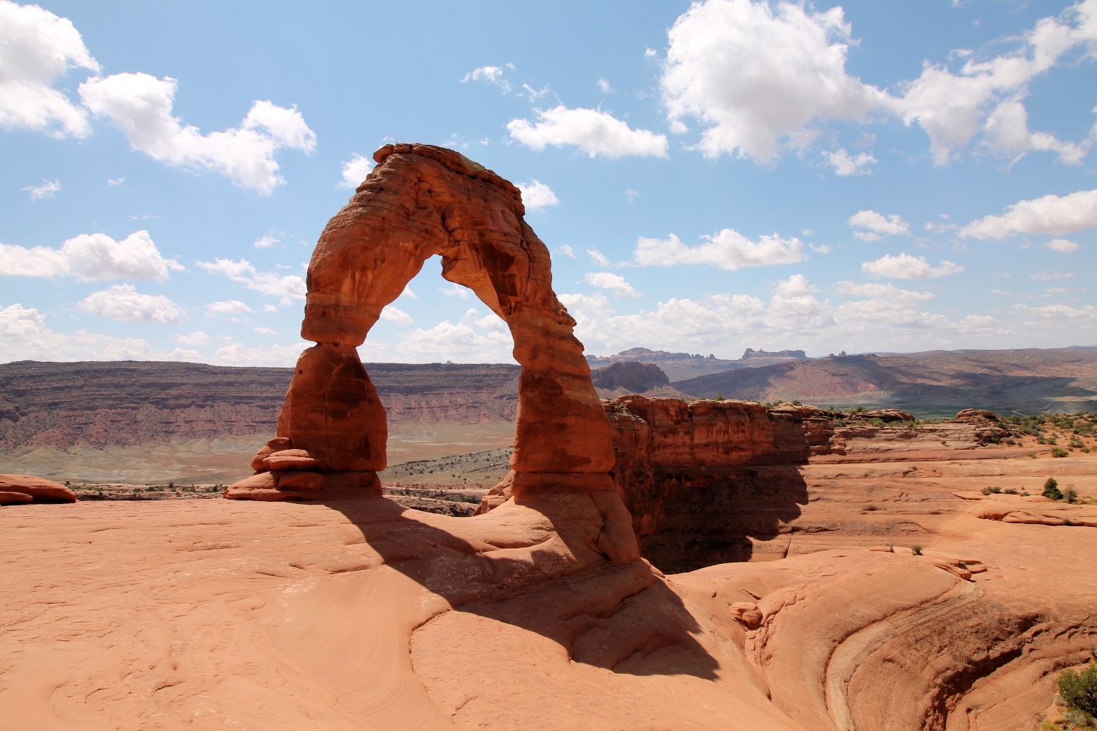
The vast colorful landscape behind the arch sets the backdrop for one of the most striking views in any national park. This is as far as I could get behind of the arch.
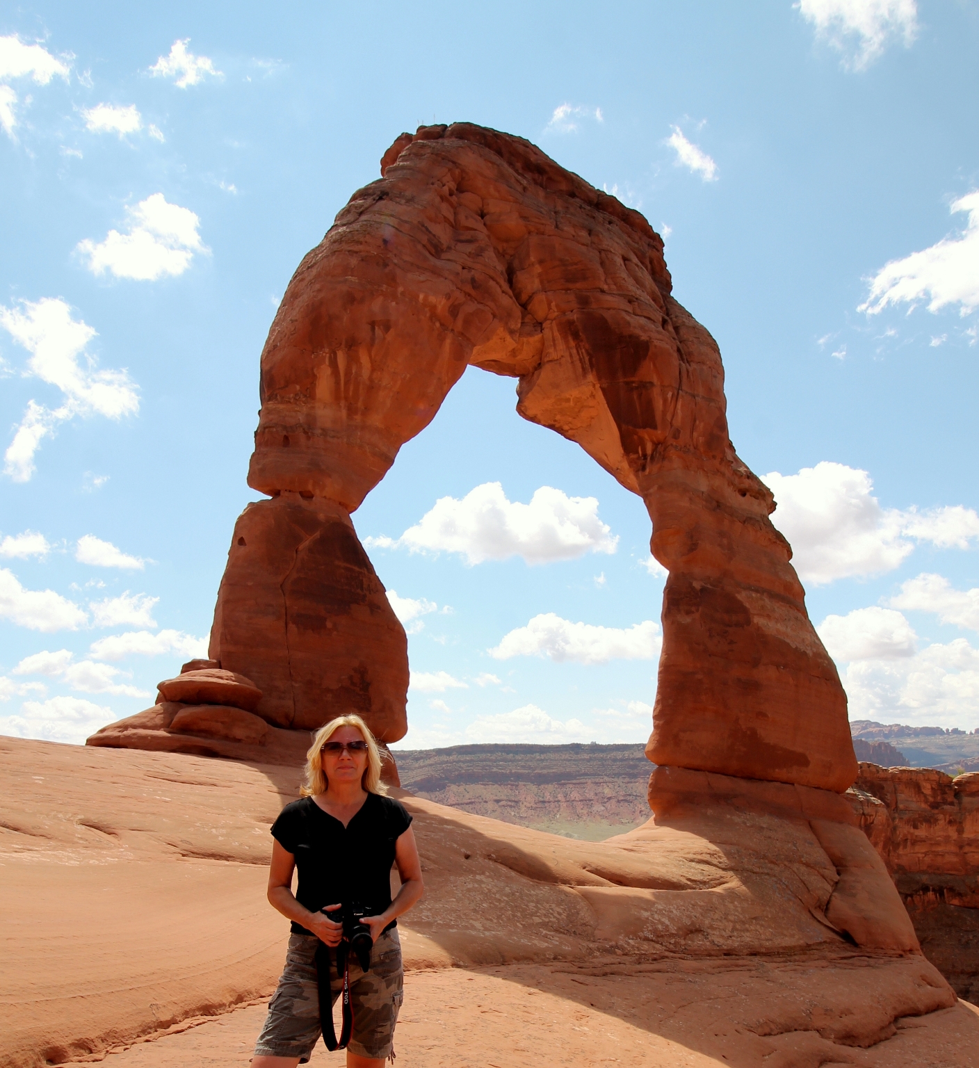
In a park with over 2,000 stone arches, this particular free-standing arch has become a widely recognized symbol of the state of Utah and one of the most famous geologic features in the world. The light opening beneath the arch is 64 feet high and 45 feet wide, making it the largest free-standing arch in the park. The term “Delicate” first appeared in a January 1934 article about the Arches National Monument Scientific Expedition, which described it as “the most delicately chiseled arch in the entire area.”
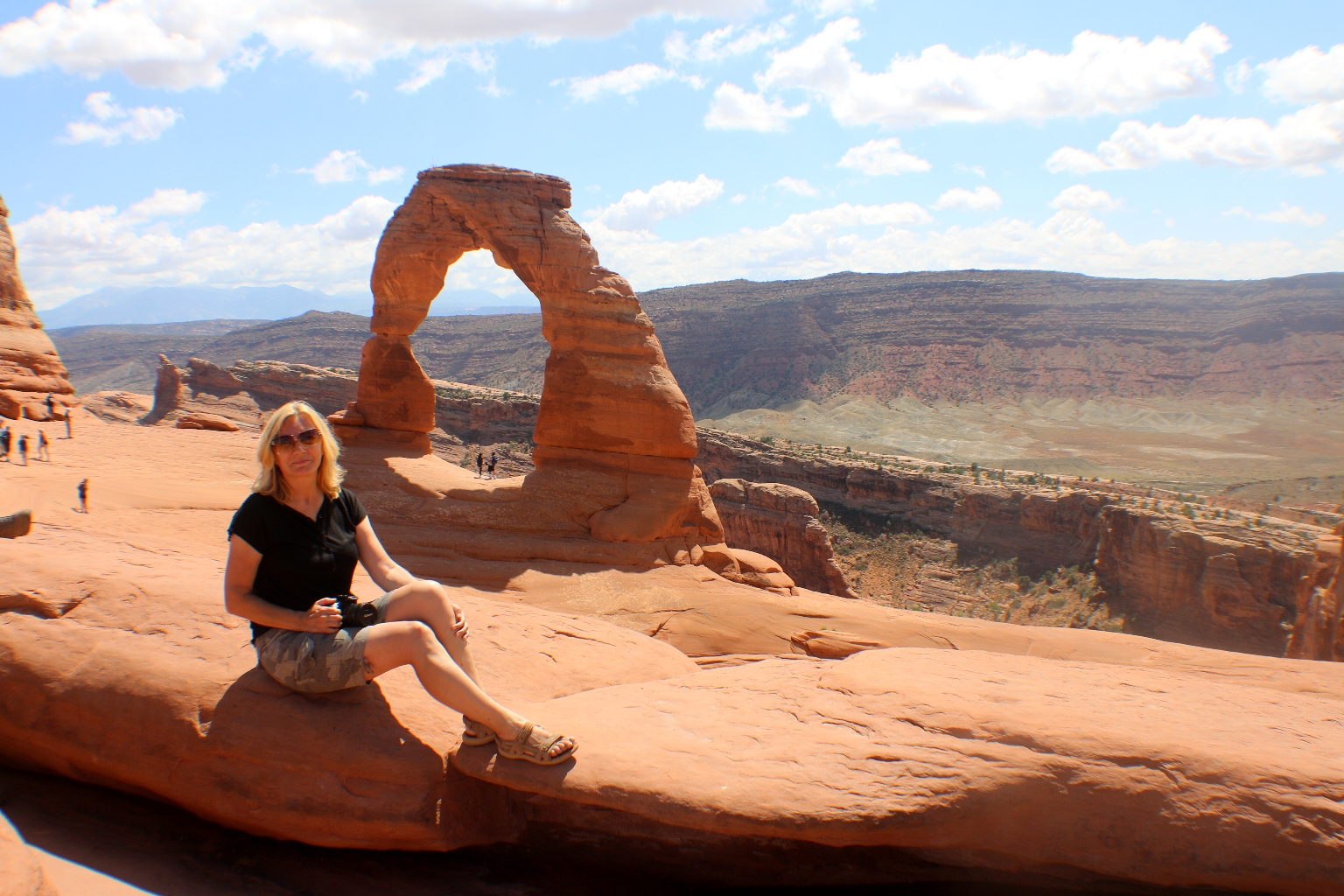
It was nice to have a seat along the sandstone amphitheater and watch the light play off Delicate Arch. We will remember this awe-inspiring sight.
When we were ready to head back, we returned the way we came.
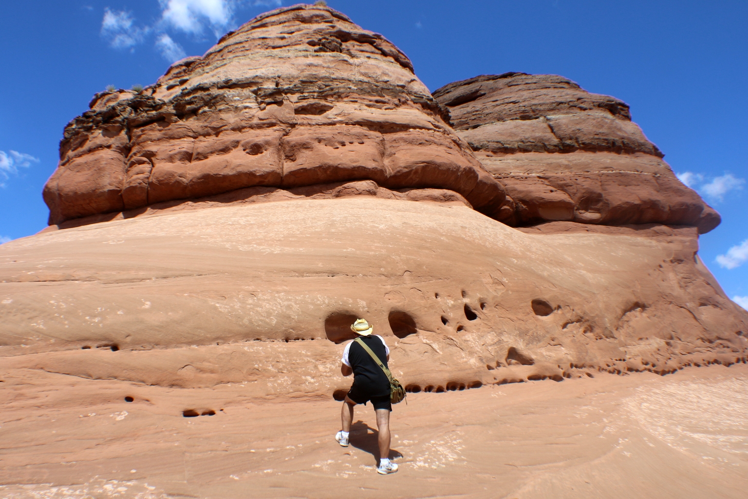
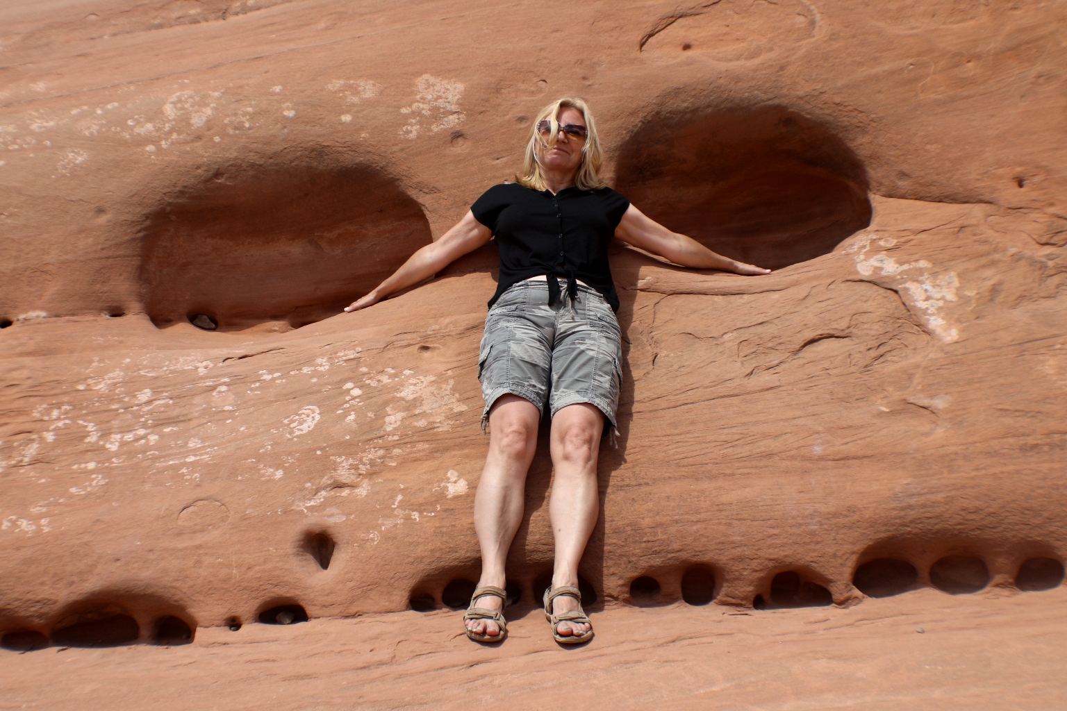
We stopped at some other interesting rock formations on our way back.
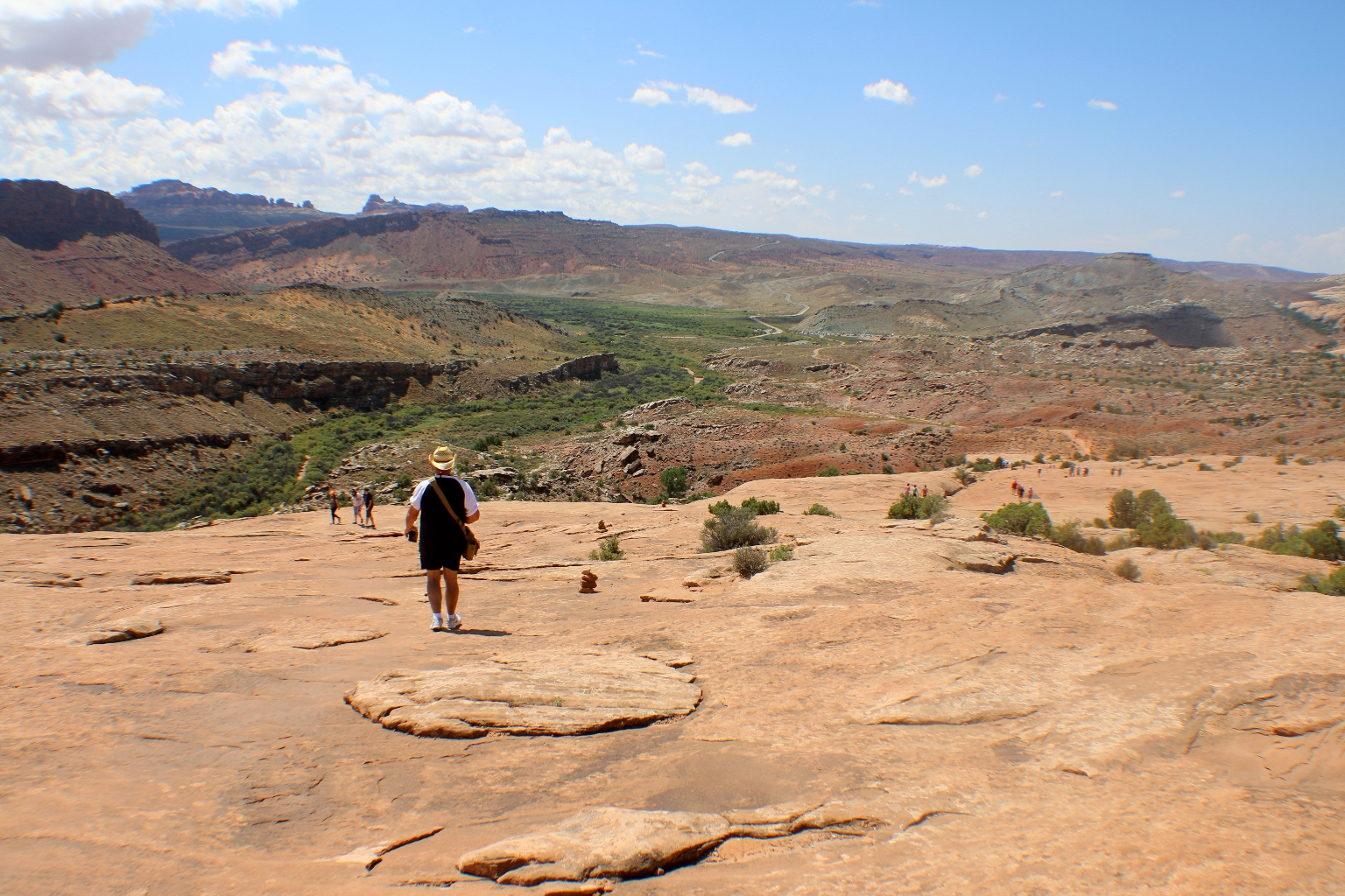
It was easier to hike from Delicate Arch back to the parking lot, since the trail was mostly downhill.
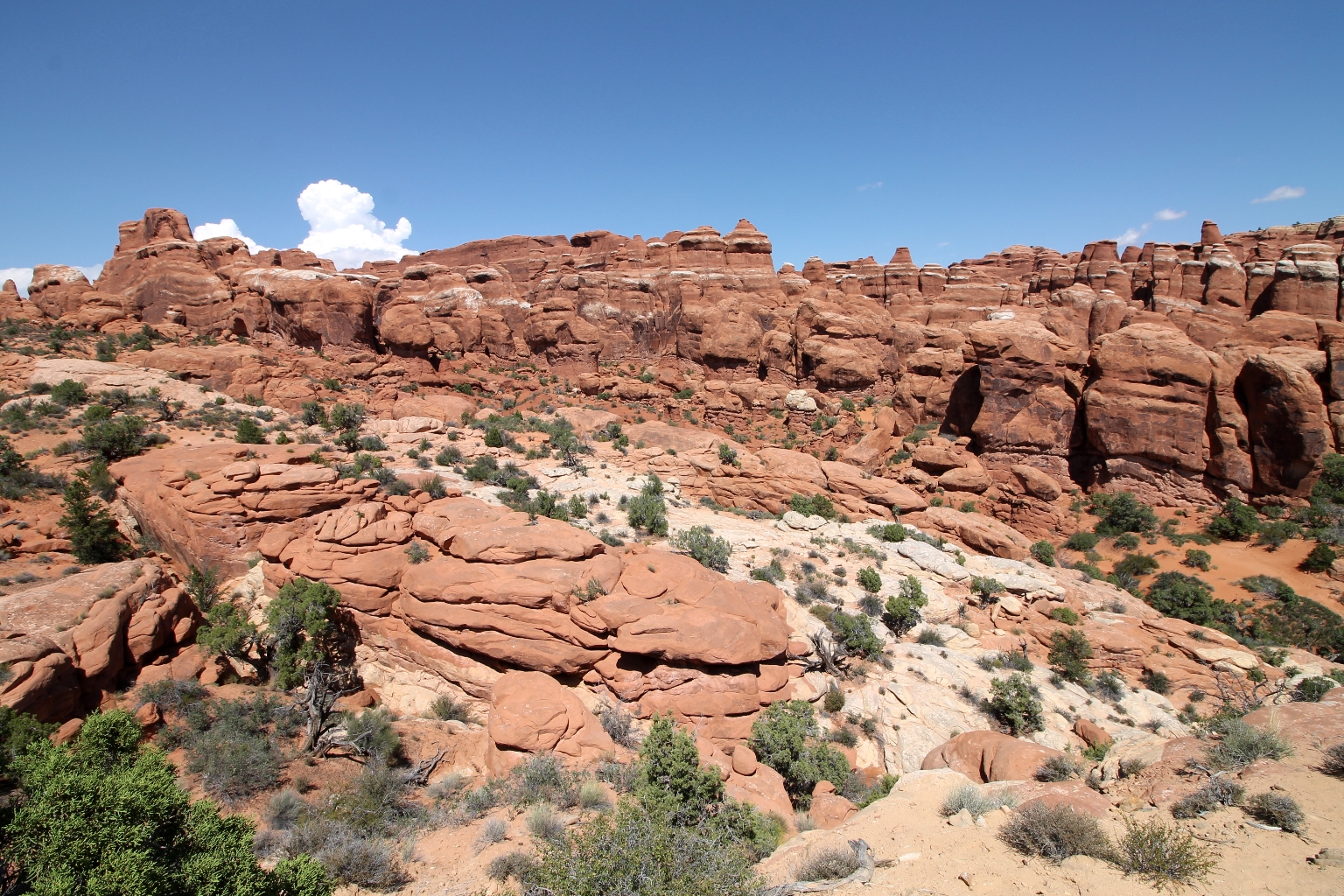
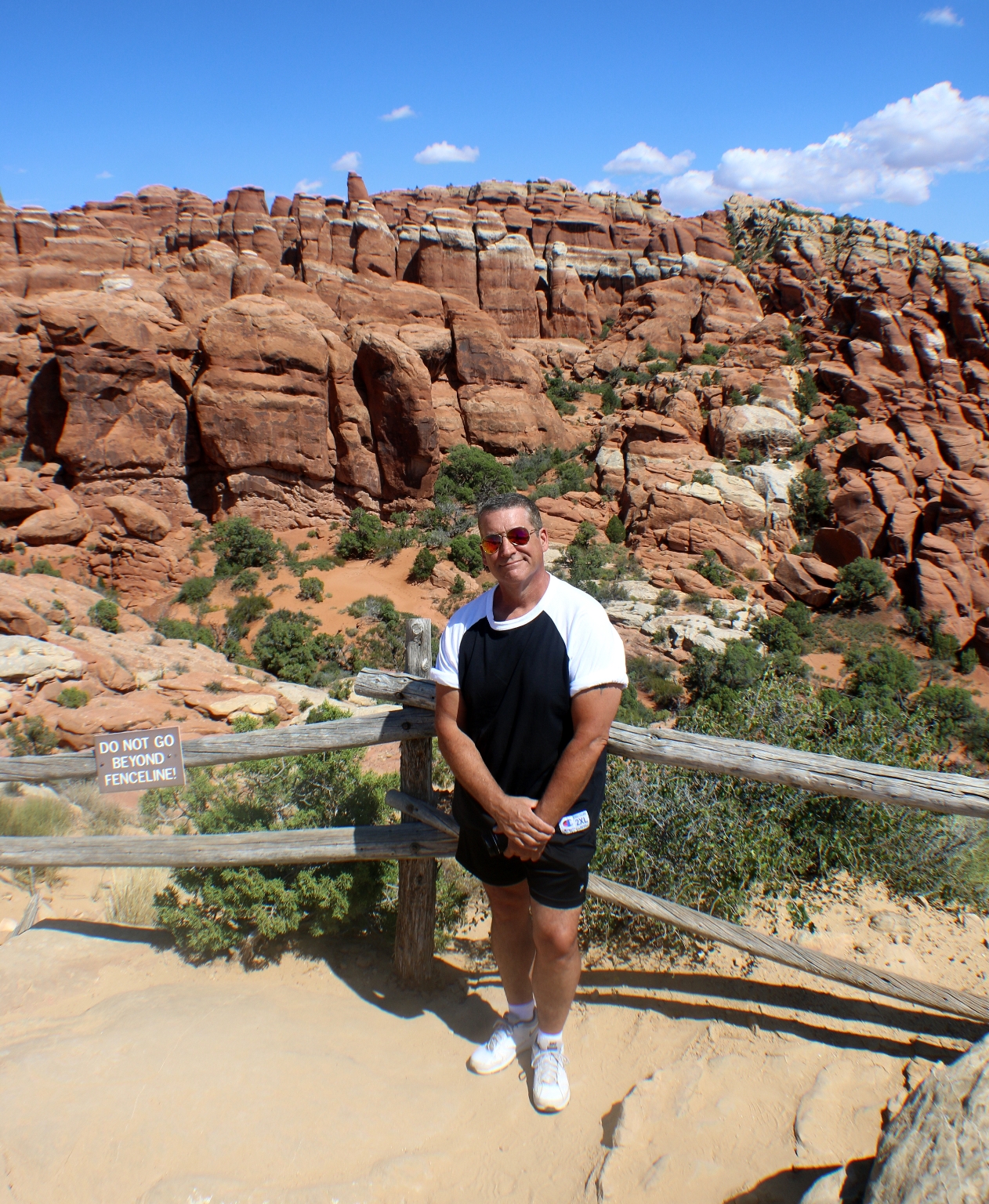
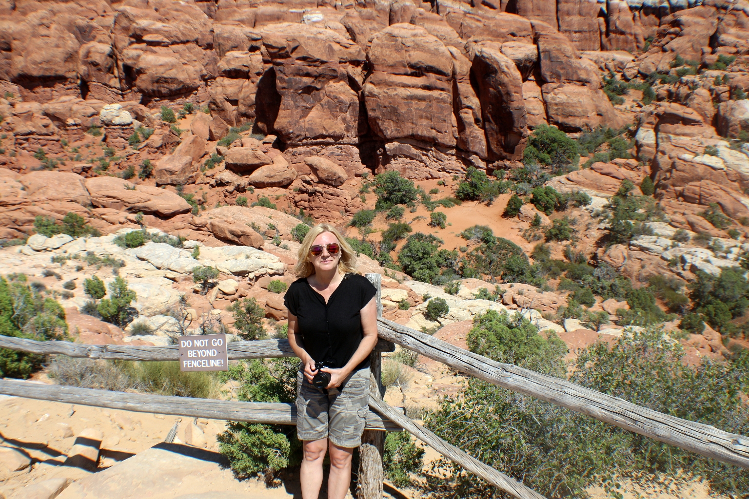
We continued on the Arches scenic drive, and stopped at The Fiery Furnace trailhead. The Fiery Furnace is a labyrinth of narrow sandstone canyons that requires agility to explore. We saw Fiery Furnace from the overlook only. There is no trail, so to enter the Fiery Furnace, you must accompany a ranger-guided hike or obtain a day-use permit at the visitor center.
Skyline Arch is located within a half a mile from Devils Garden part of the park. It is a short walk on the flat, well-defined trail to the Arch.
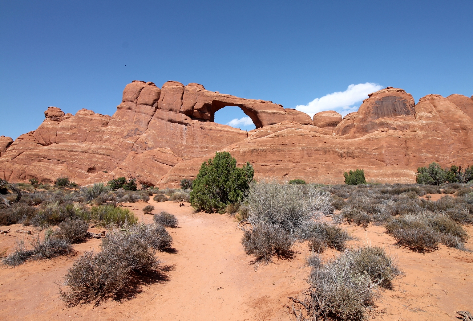
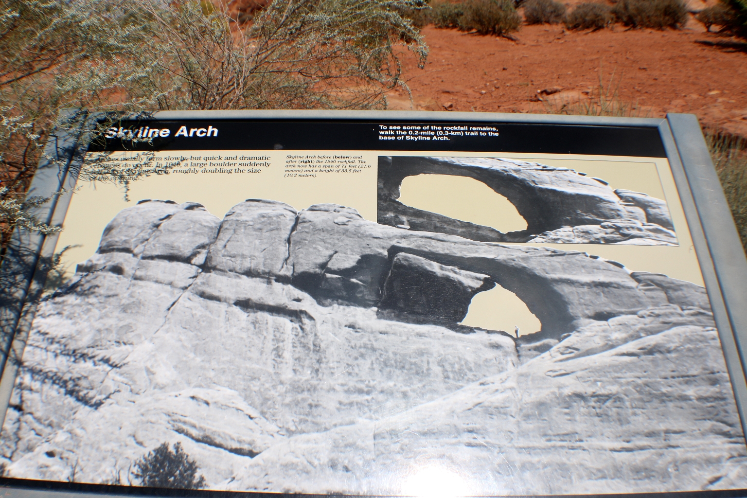
A panel at the trailhead depicts how a large block of sandstone fell from Skyline Arch in 1940, doubling the size of the arch overnight. Currently, the arch measures 71 feet across and 33.5 feet tall. Boulders from the collapse remain, and can be seen below the arch today.
There is the trail leading inside Skyline Arch. We were running out of the time, otherwise we would definitely have explored this arch.
We stopped a few times near Balanced Rock, since it is seen from the park’s road.
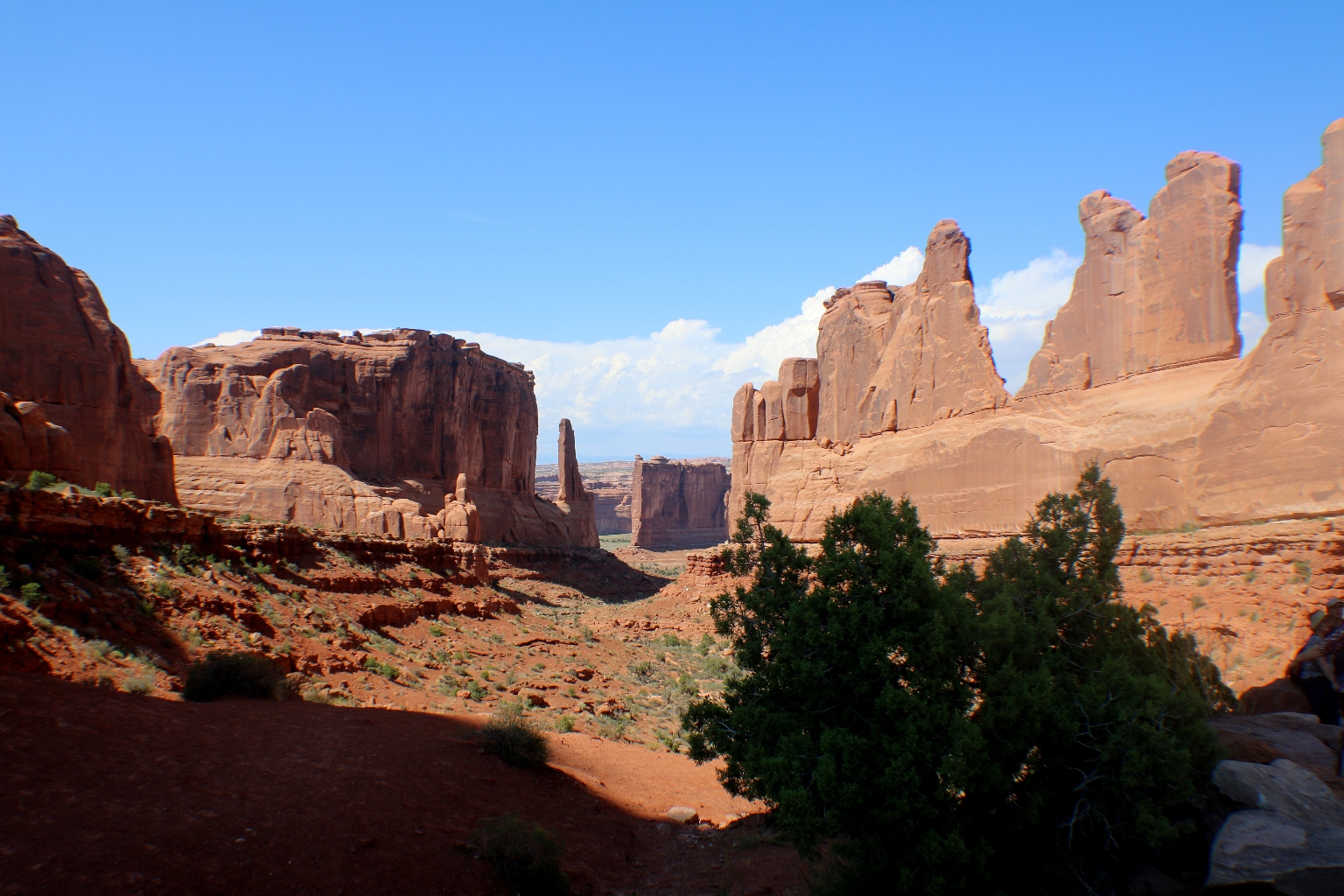
We stopped again at Park Avenue. It looks completely different in the sunlight.
Also, it was really crowded.
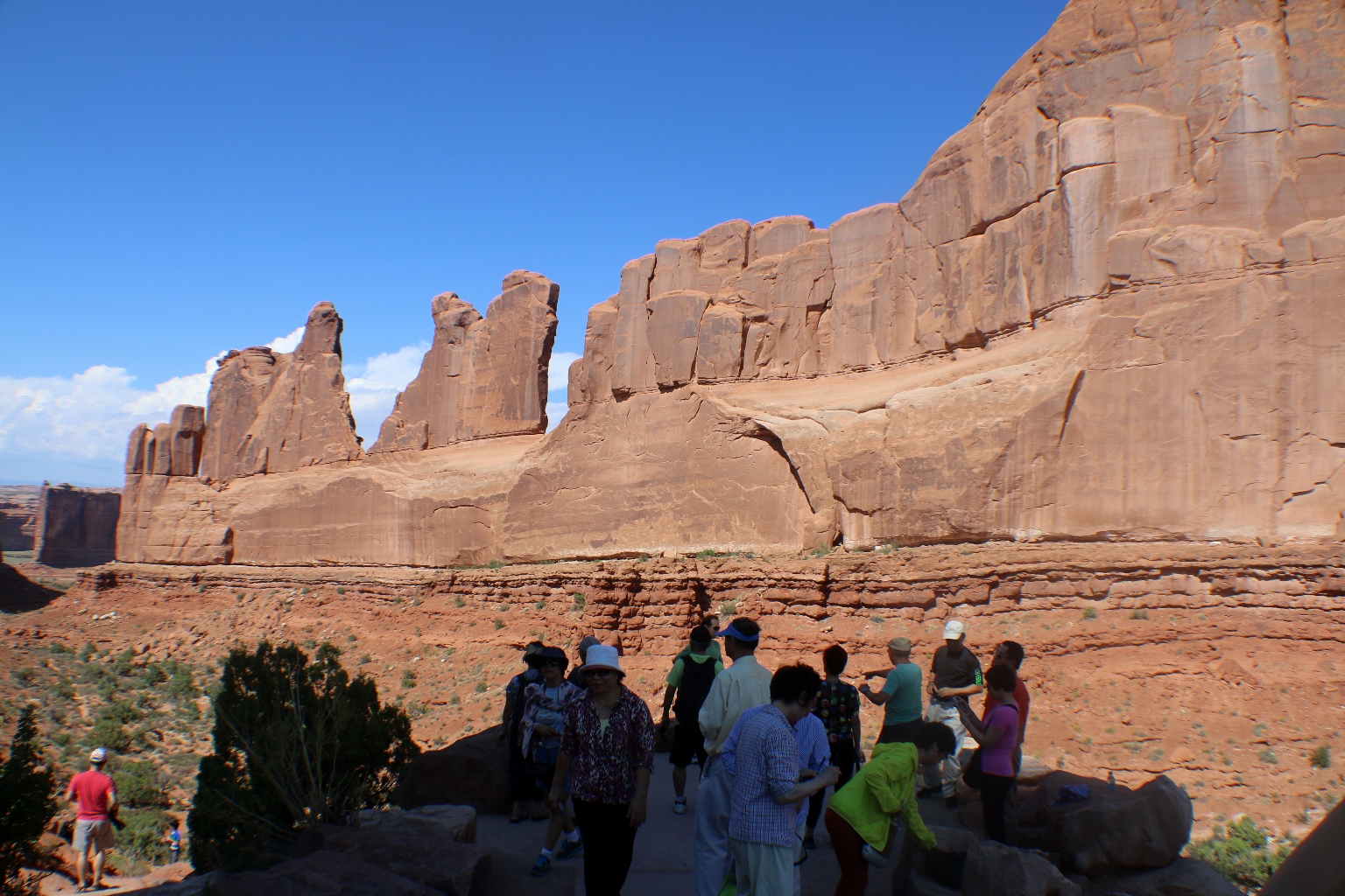
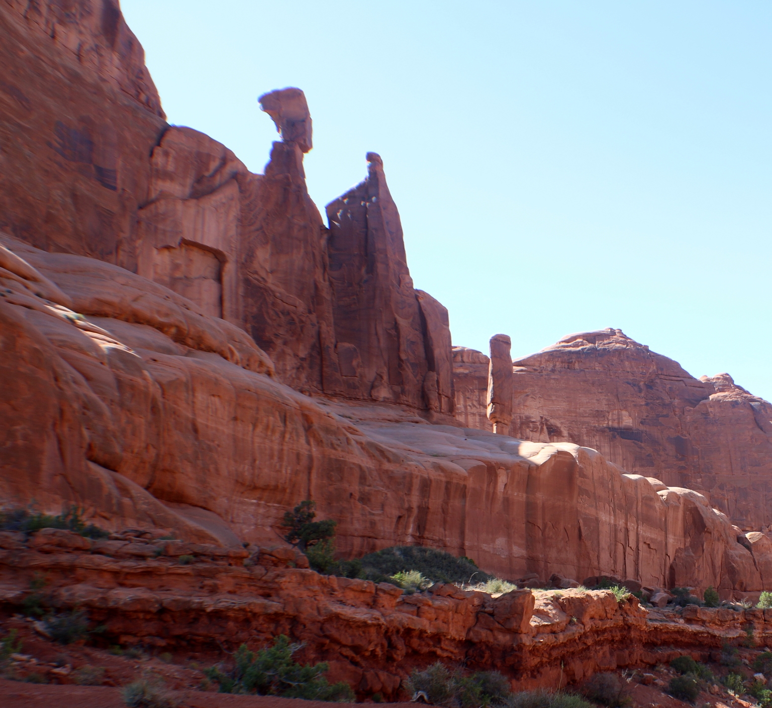
There is the Nefertiti rock formation from the one of the walls of Park Avenue.
Leaving Arches National Park and heading to our next destination – Canyonlands National Park, which will be in the next post.