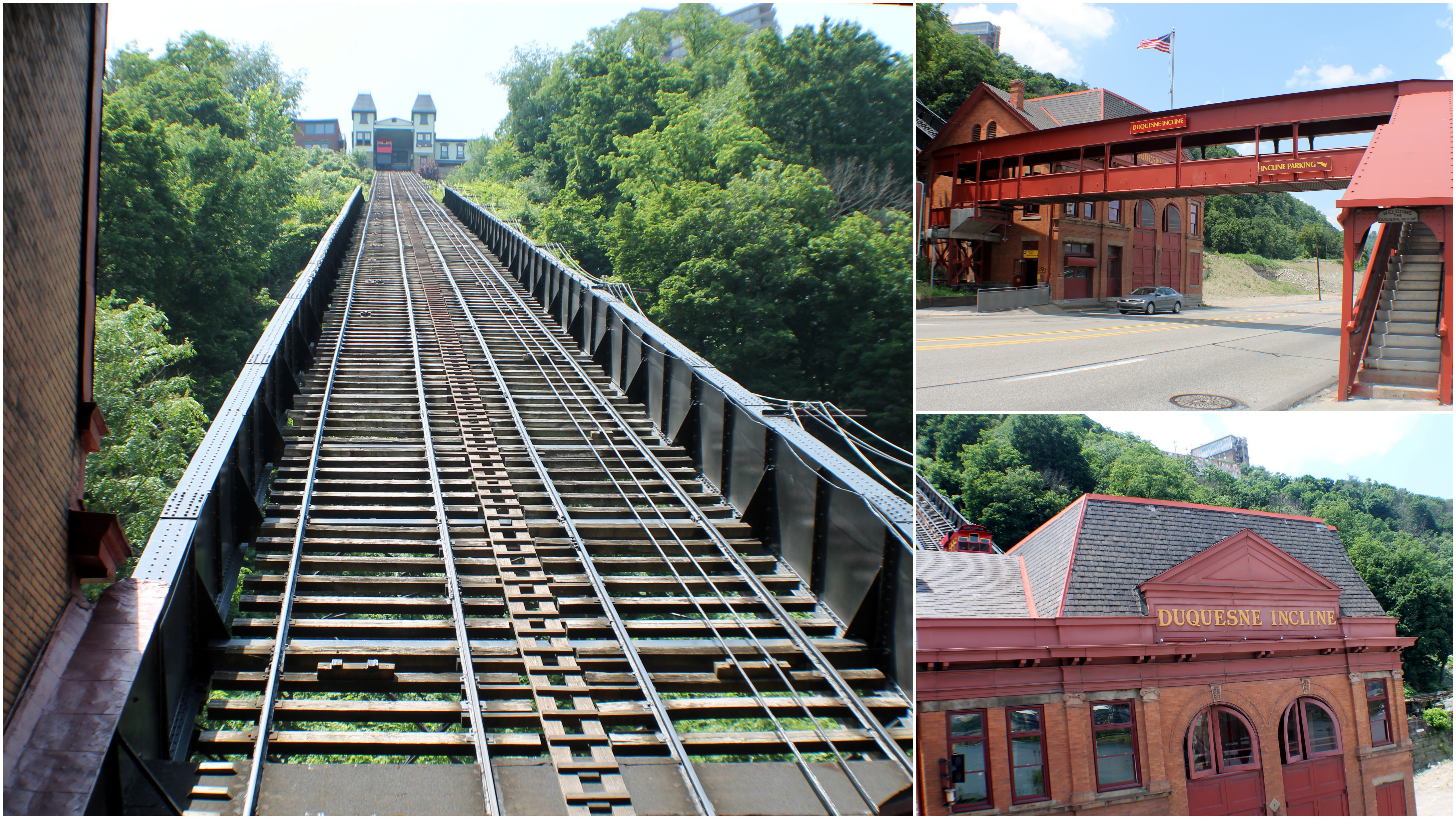
 The day after visiting Kentuck Knob and Fallingwater, we decided to take a ride on the Duquesne Incline and walk around downtown Pittsburgh. We started with the incline, which was easy to find and the free of charge parking lot next to it was almost empty. We had to climb several flights of stairs from the parking lot to the incline entrance, which starts right after the red bridge with the sign “Duquesne Incline” in the picture below.
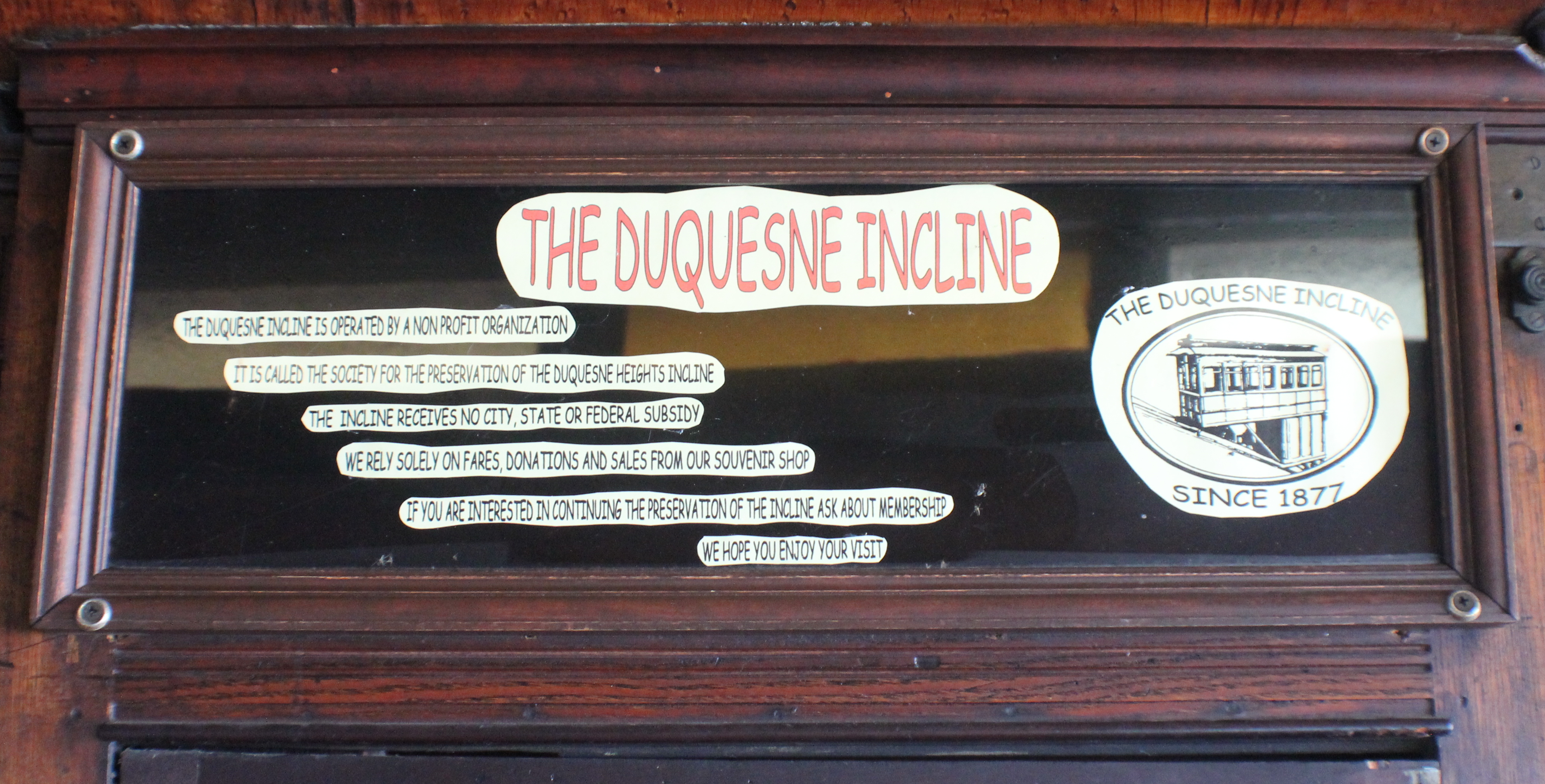
The Duquesne Incline was the first Pittsburgh incline designed and built by the engineer Samuel Diescher, who had become the country’s foremost builder of inclines. Opened to the public on May 20, 1877, The Duquesne Incline delights residents and visitors with its original, elegant, wooden cable cars.
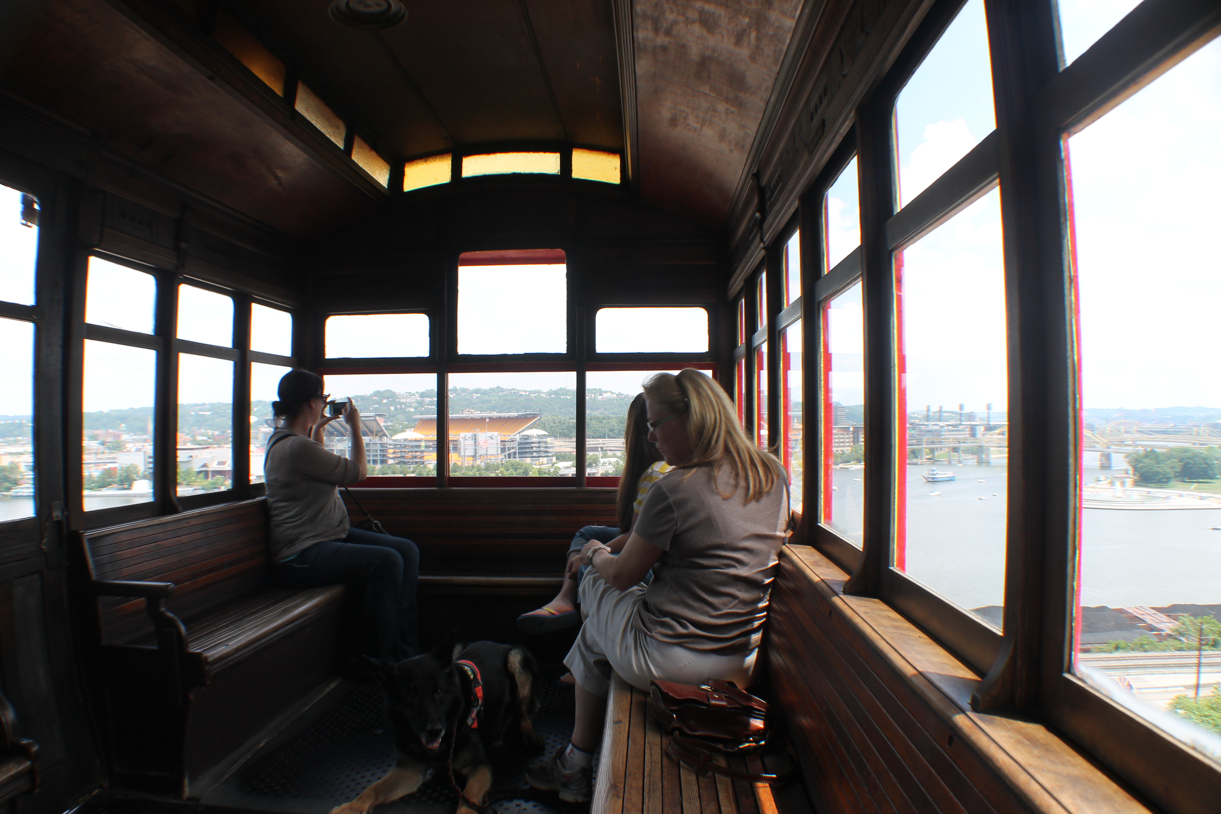
It felt like taking a step back in time riding on a century-old cable car of the one of the few remaining inclines in the country. The incline is used as public transportation and provides service to Mount Washington for residents and a historic voyage for tourists wishing to sightsee some of the most breathtaking views of Pittsburgh’s panoramic skylines.
The cars are not self-powered, and do not even have operators on board. Instead, they are pulled up and down the inclined track by a cable driven by an engine in the upper station, where the operator works.
The Duquesne Incline is located just west of the Fort Pitt Bridge, and faces the Ohio River. It has a length of 793 feet, a height of 400 feet, and a grade of 58%. The Duquesne Incline’s upper station houses a museum of Pittsburgh history, including photos and a storehouse of information on inclines from around the world.
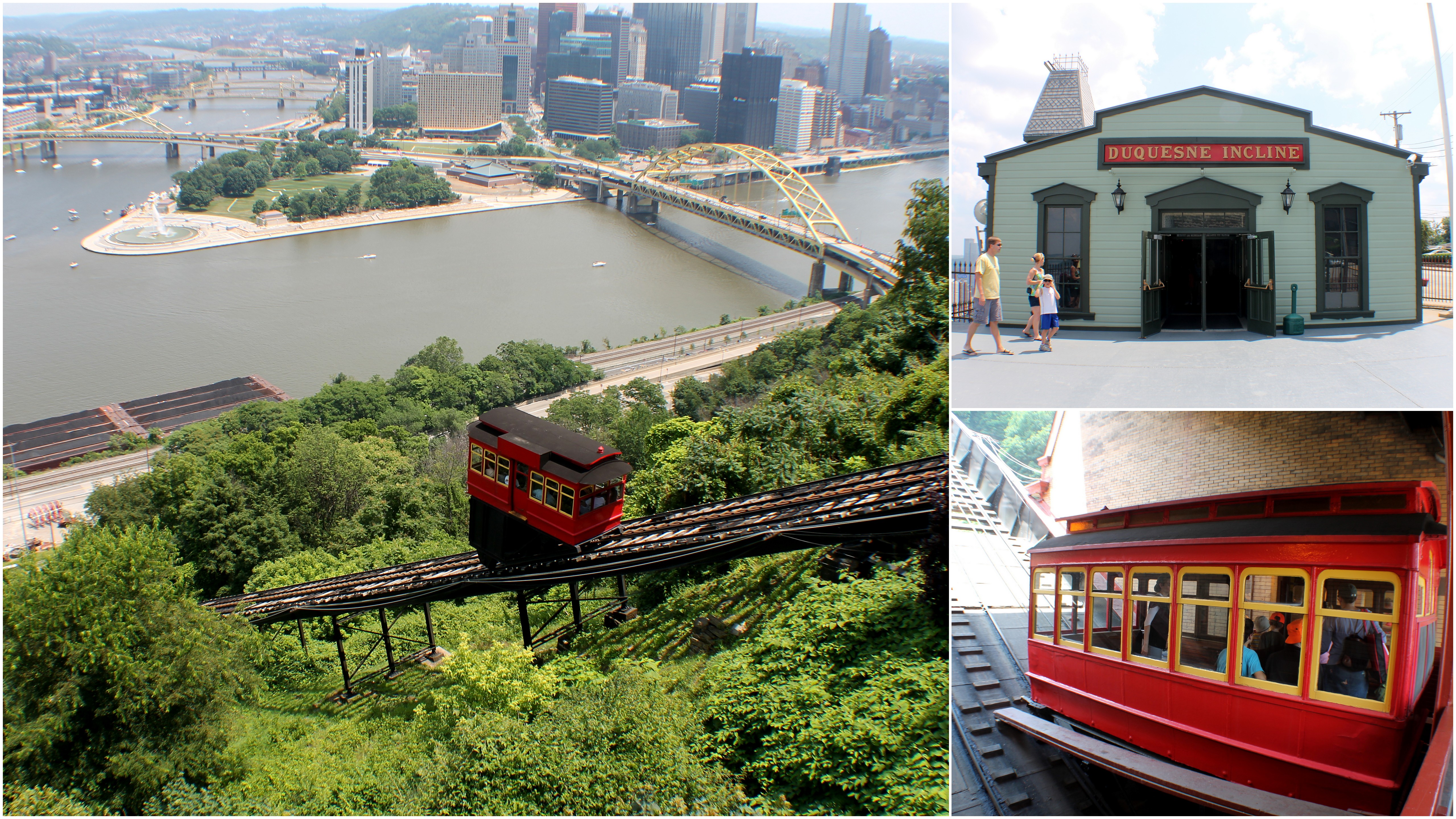
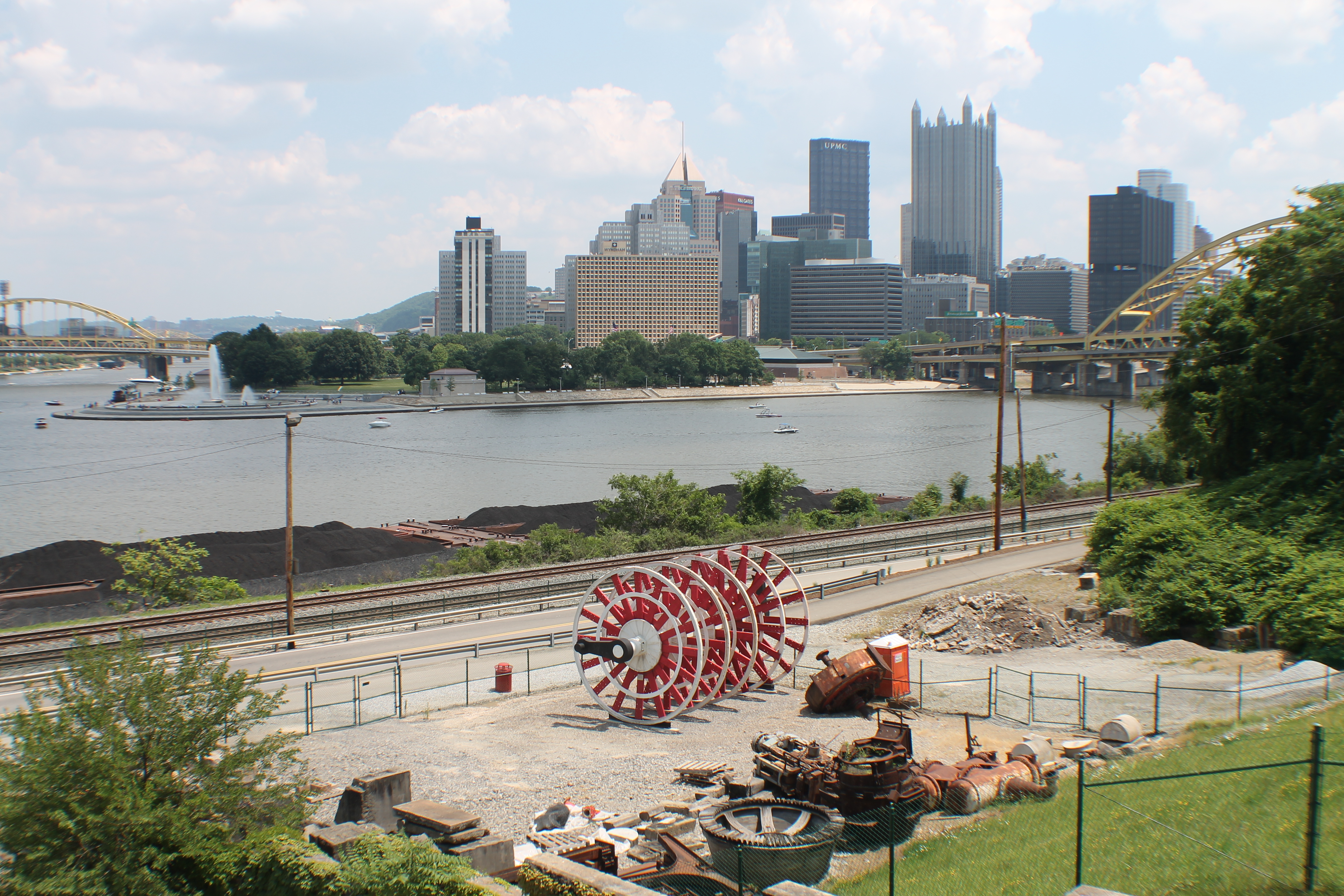
An awesome birds eye view of Pittsburgh’s skyline opens from the top.
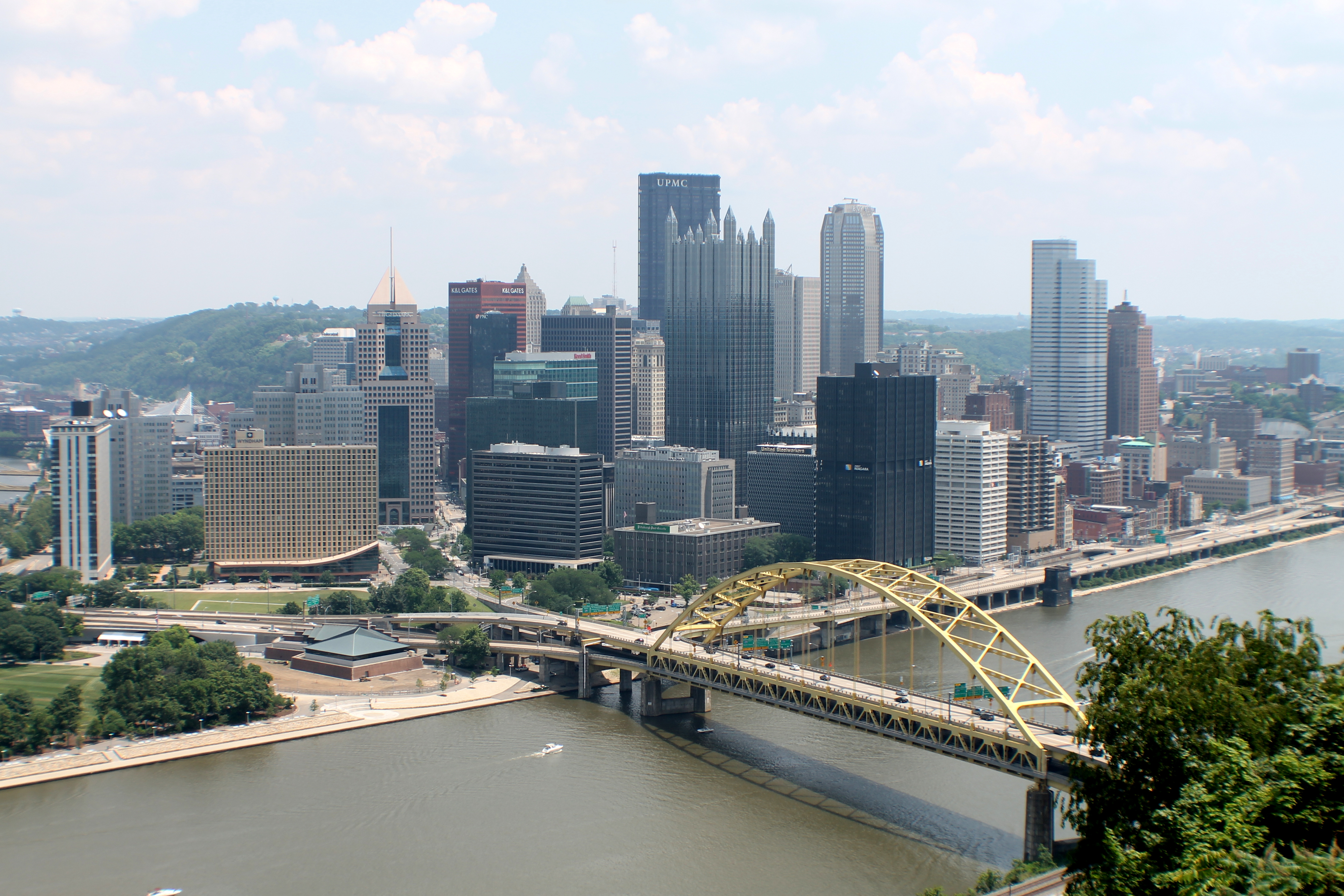
Pittsburgh is known colloquially as “The Steel City”, for its history as a steel production center, as well as “The City of Bridges”, since it holds the world record for the most bridges within its city limits. It is also strongly associated with its official colors, black and gold, which also adorn the uniforms of its popular professional sports teams, the Penguins, Pirates, and Steelers.
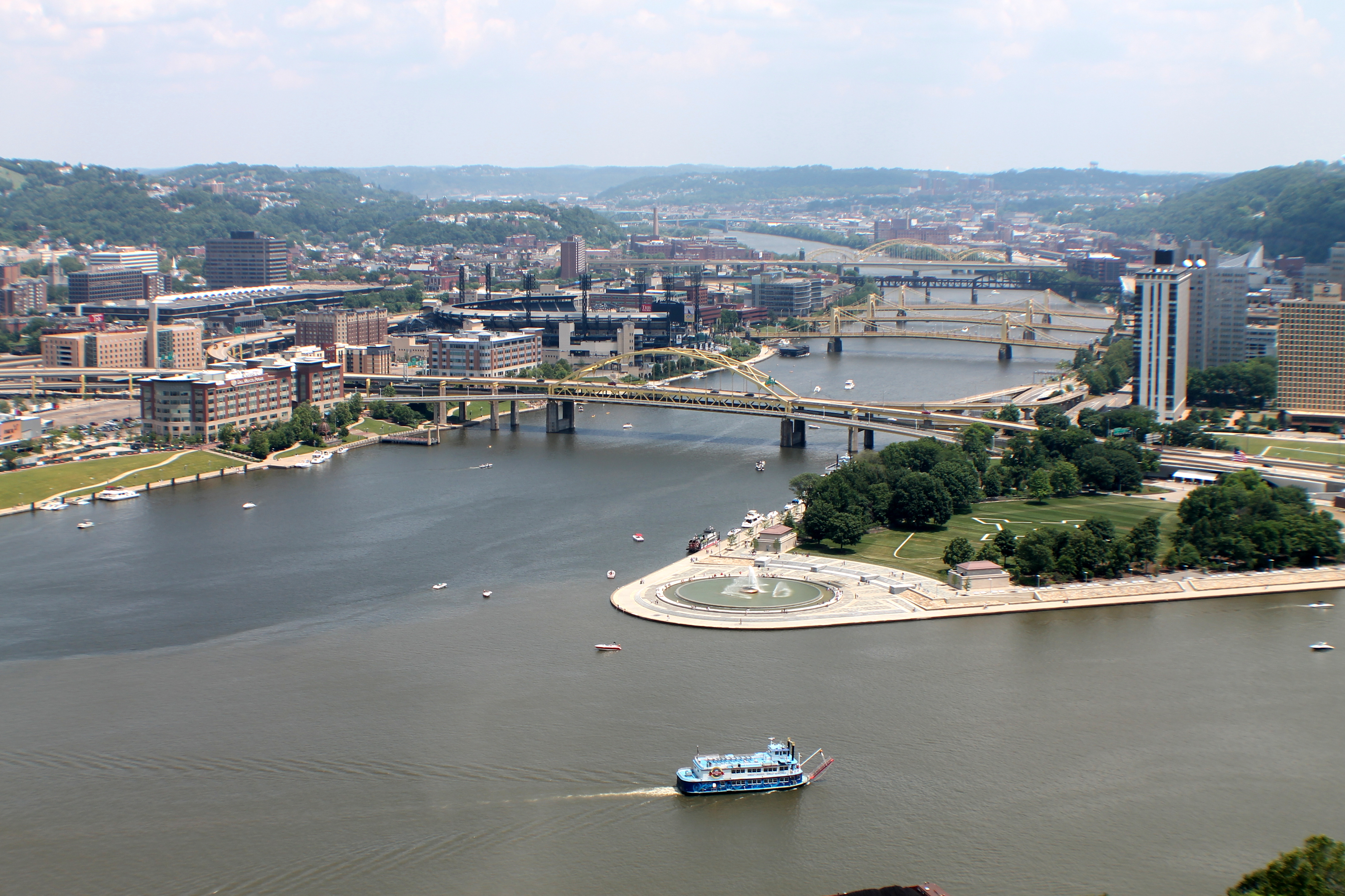
Point State Park forms a triangle at the tip of downtown Pittsburgh, at the “point” where the Allegheny and Monongahela rivers meet to form the Ohio river. The Downtown area between the rivers is known as the Golden Triangle, and the site at the actual convergence, which is occupied by Point State Park, is referred to simply as “the Point.”
The park preserves the historic heritage of the area during the French and Indian War (1754 – 1763). Along with the history, Point State Park provides a beautiful getaway into downtown Pittsburgh with paved riverfront promenades, beautiful views, a 150-foot tall fountain and a large grassy area (from Wikipedia).
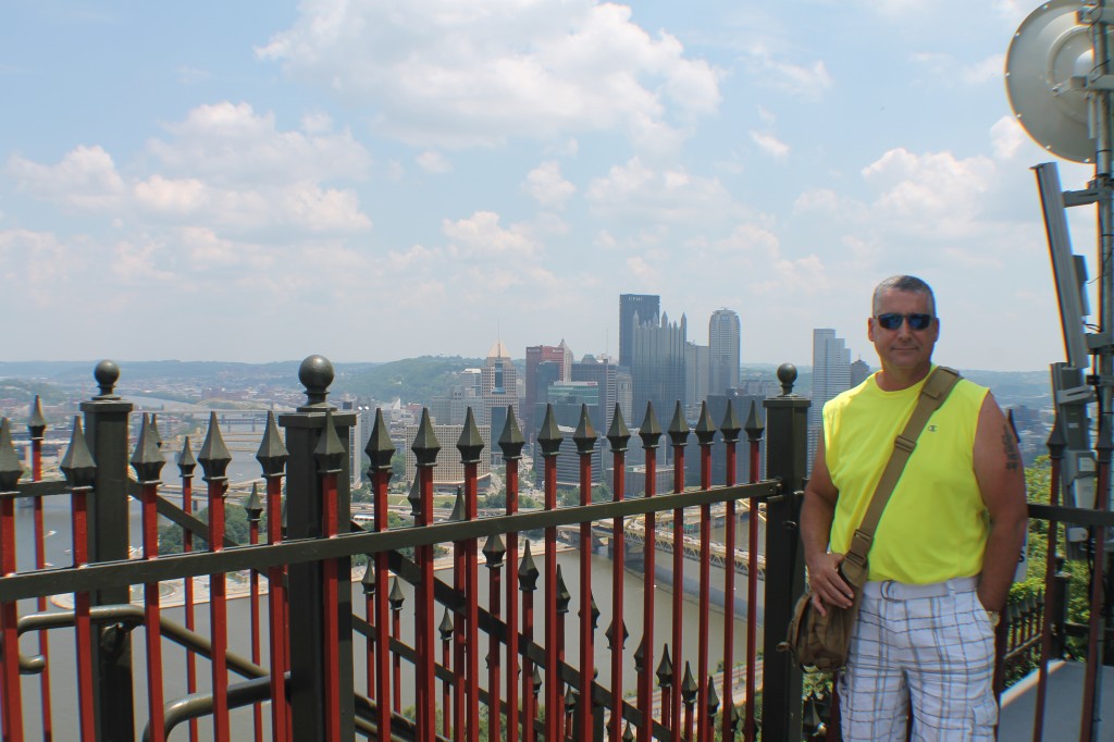
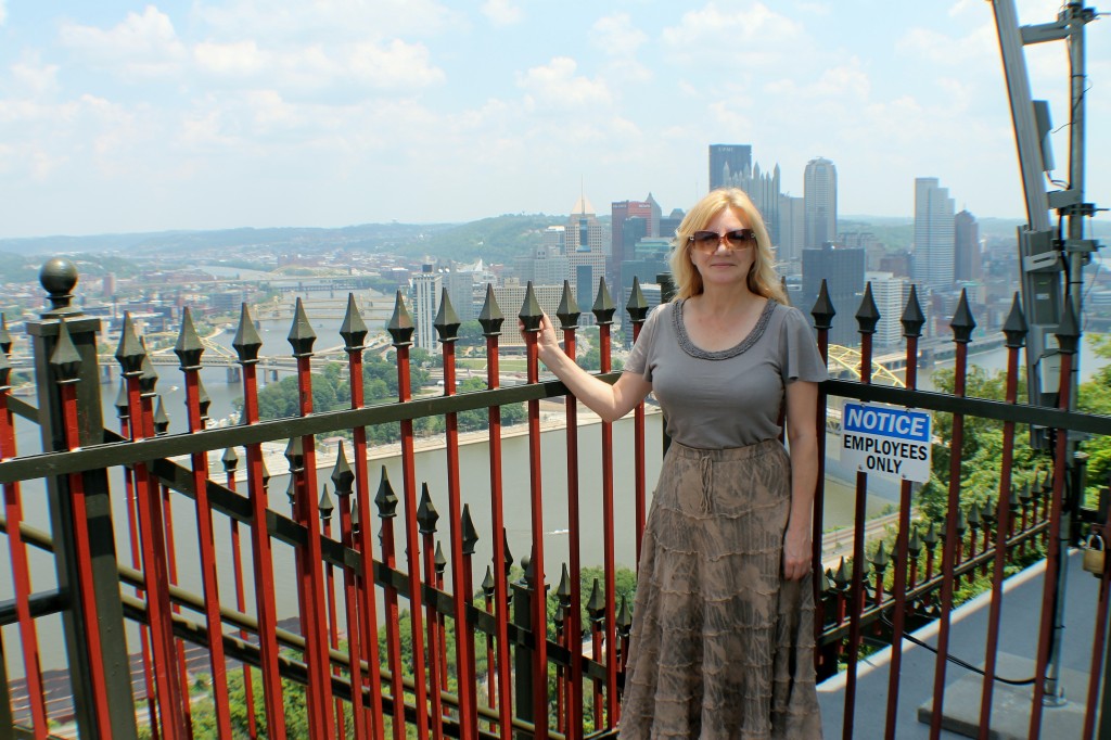
At the observation deck on the top of Mount Washington.
Looking down the Ohio river and Brunot Island.

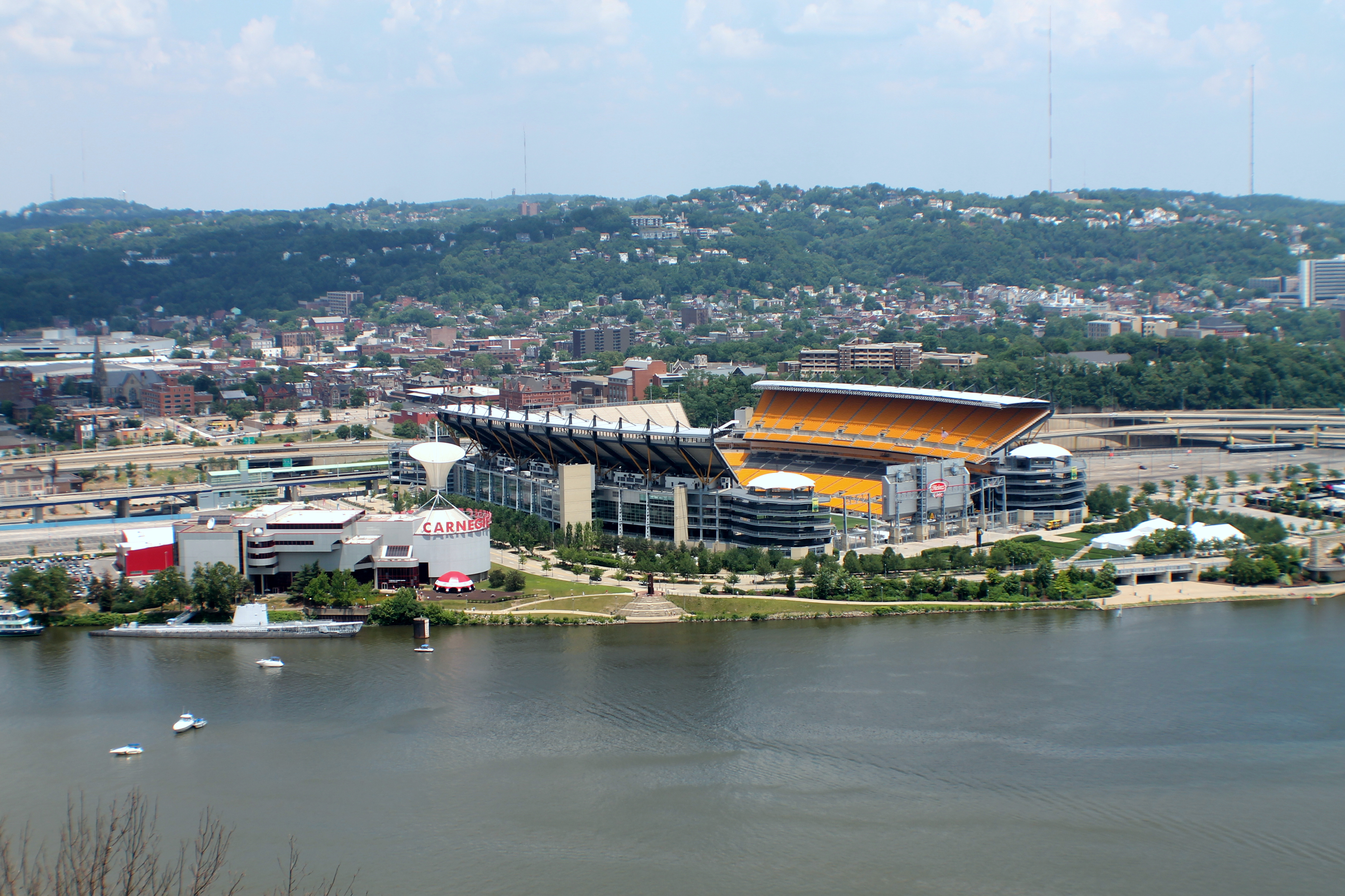
A view of Heinz Field, Pittsburgh Steelers stadium.
Pittsburgh first became an economic power in the mid-1800s. The credit for the boom goes to Scottish immigrant Andrew Carnegie and many others who contributed to the city’s manufacturing industries. In the early 1980s, as production began to move overseas, the city faced a major downturn. Refusing to give in, Pittsburgh began to restructure its economy throughout the 1990s by shaking off its smoky image and moving towards healthcare, education, research, technology and tourism.
The Duquesne Incline was a great experience for us. We were on our way to take a look at downtown Pittsburgh next. Our favorite tour to get a feel of the city is a segway tour, however this time we decided to take a self-guided walking tour. We downloaded a walking tour of Pittsburgh by Mark Houser, which contains a map and 15 mp3 files, and started our little journey. This tour was very helpful: interesting, brief, but with the main highlights and it was really easy to follow the map.
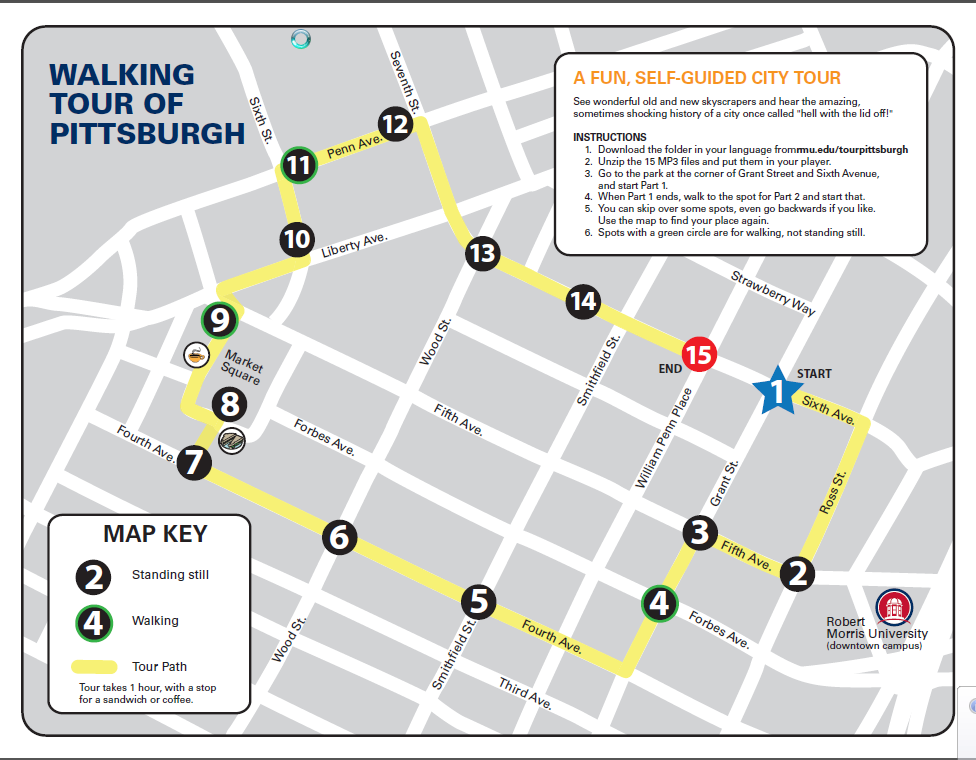
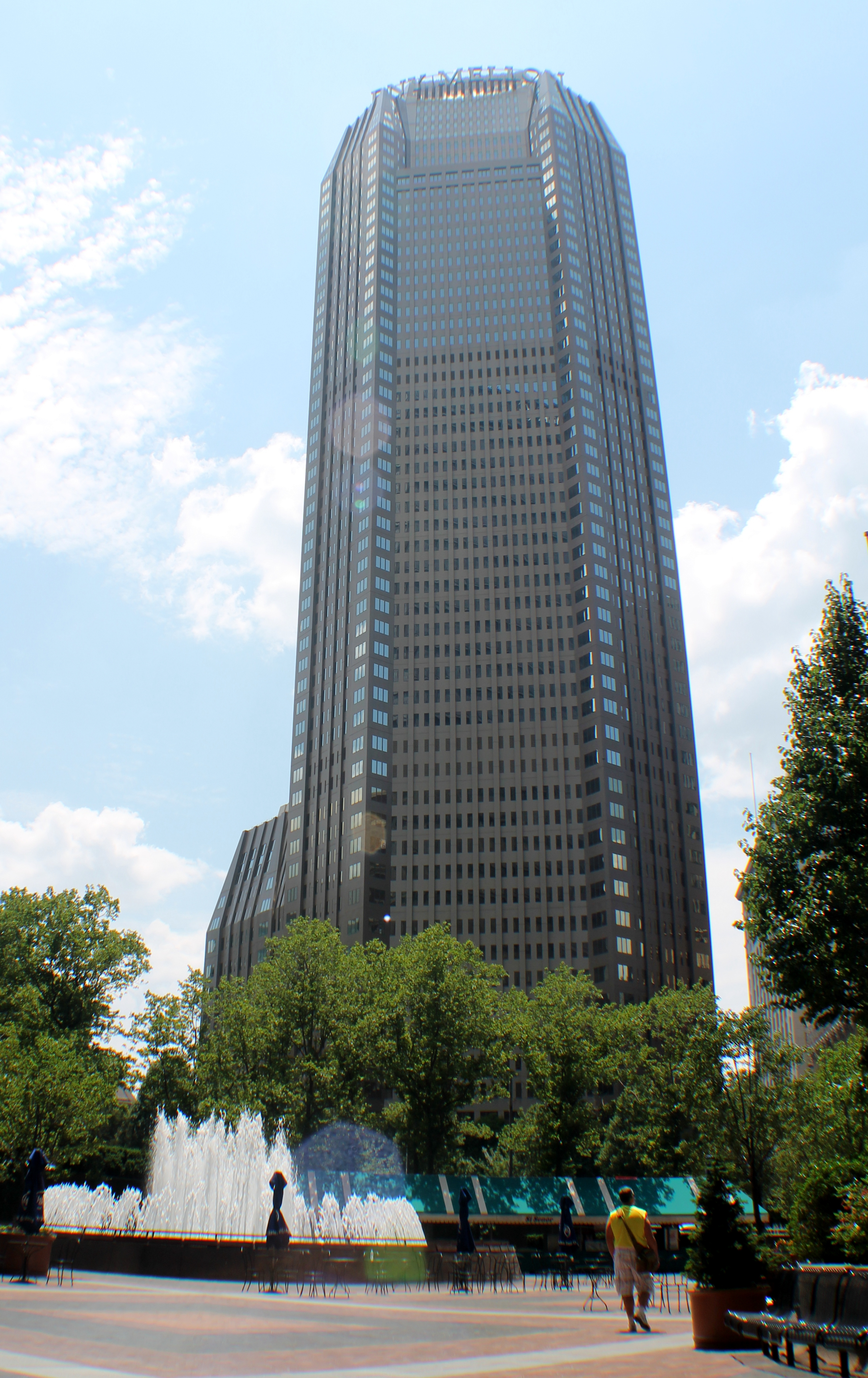
Here are some highlights of our walking tour. We started our tour from Grant Street and Six Avenue near the BNY Melon Center. Pittsburgh native and Secretary of the Treasury Andrew W. Mellon helped to allocate funds and supported the construction of the BNY Mellon building during the last quarter of the nineteenth century, when steel industry was booming in Pittsburgh.
Here is First Lutheran Church built in 1888 on Grant Street.
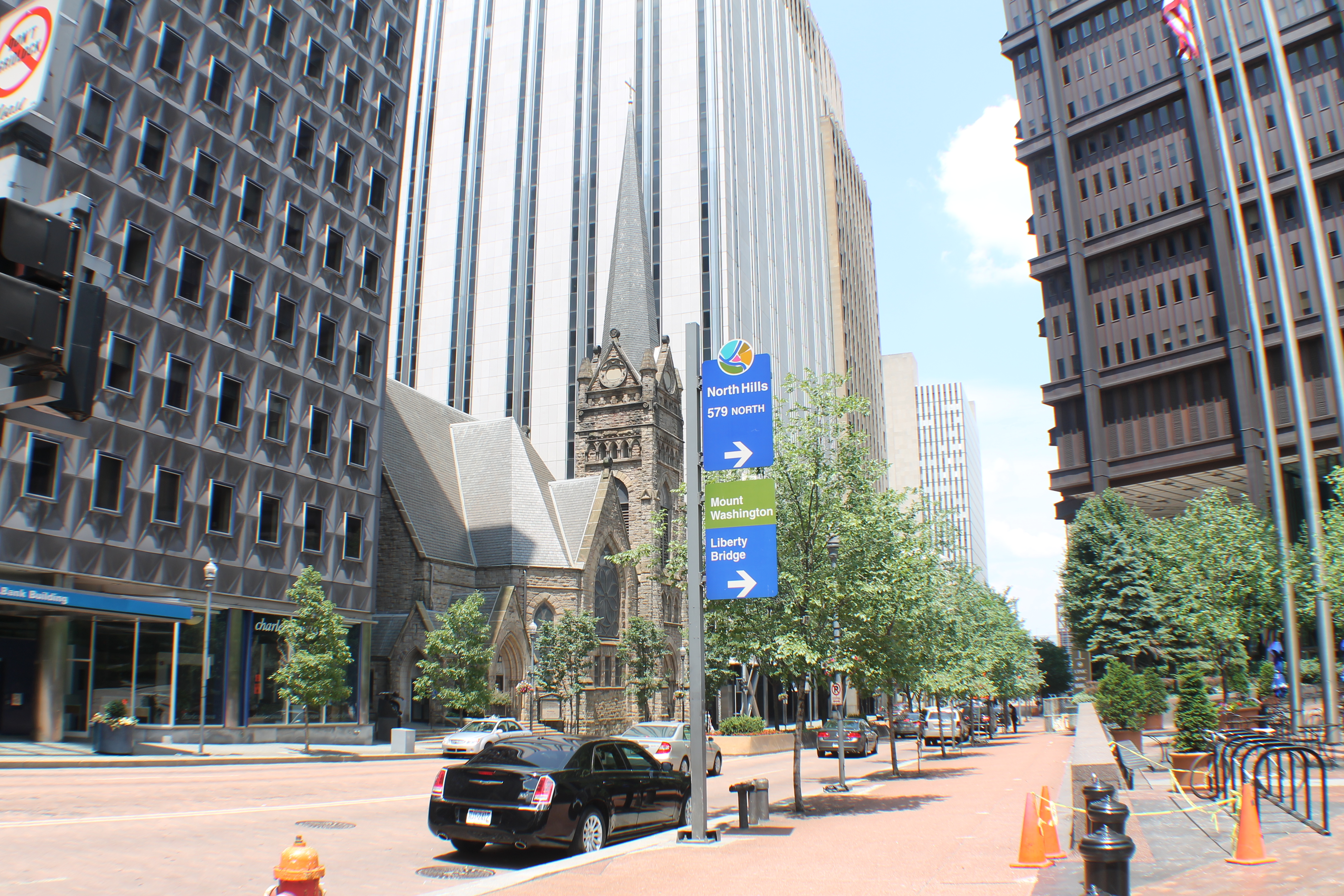
Walking down Grant Street.
At the intersection of Ross Street and Fifth Avenue, there is the historic “Bridge of Sighs”. At one time used to transport prisoners from the Allegheny County Courthouse to the Jail, the Bridge of Sighs mimics the original in Venice, Italy.
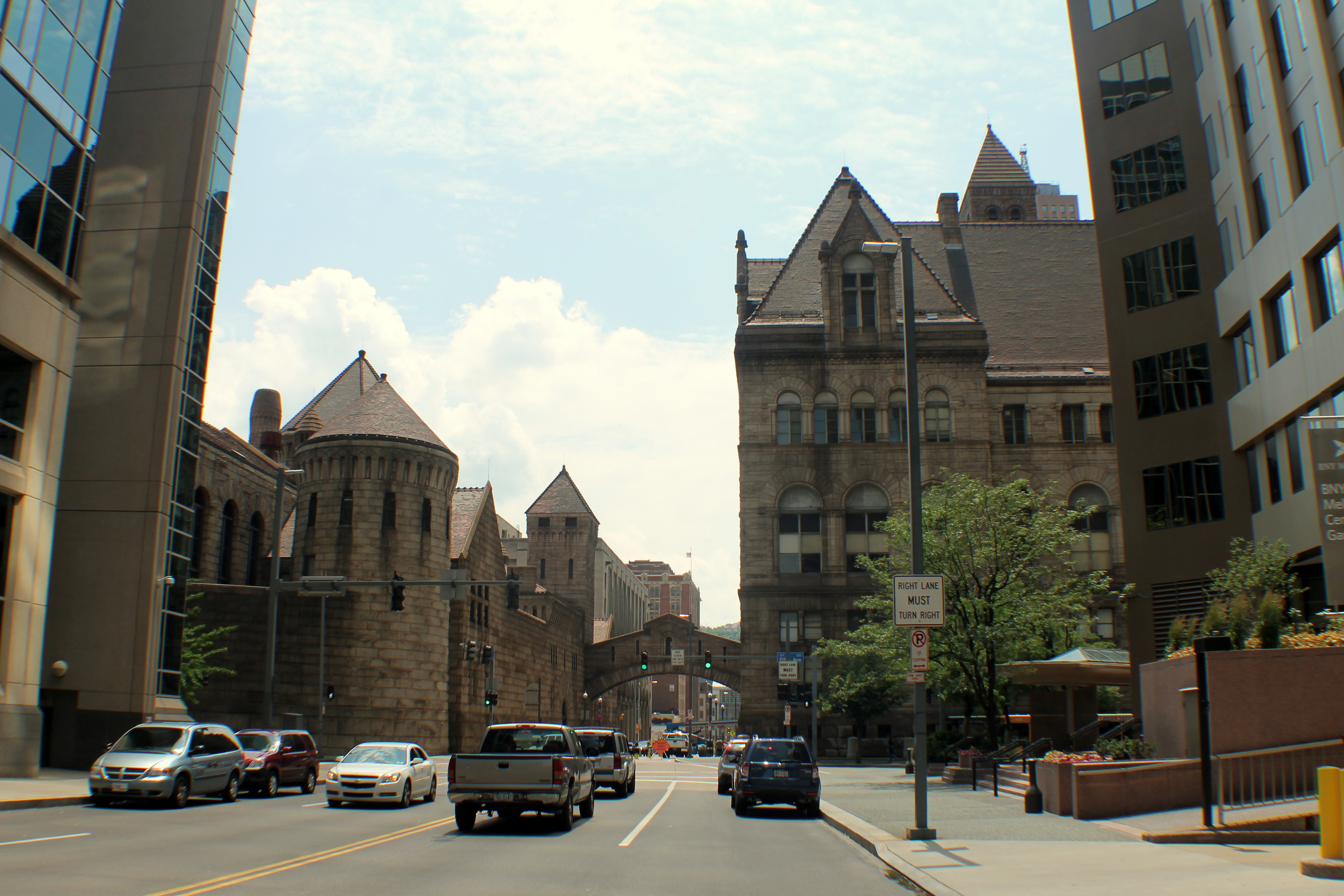
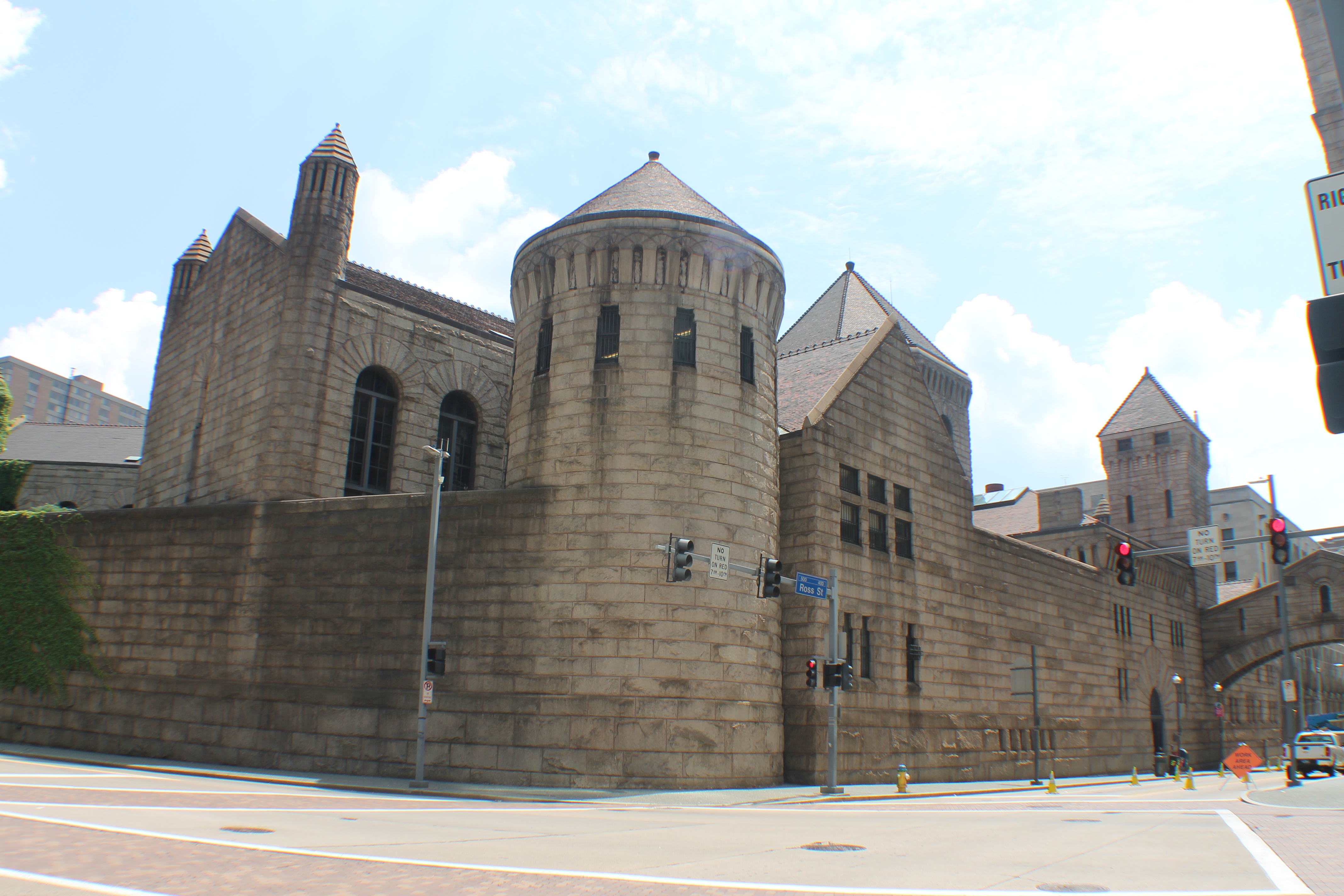
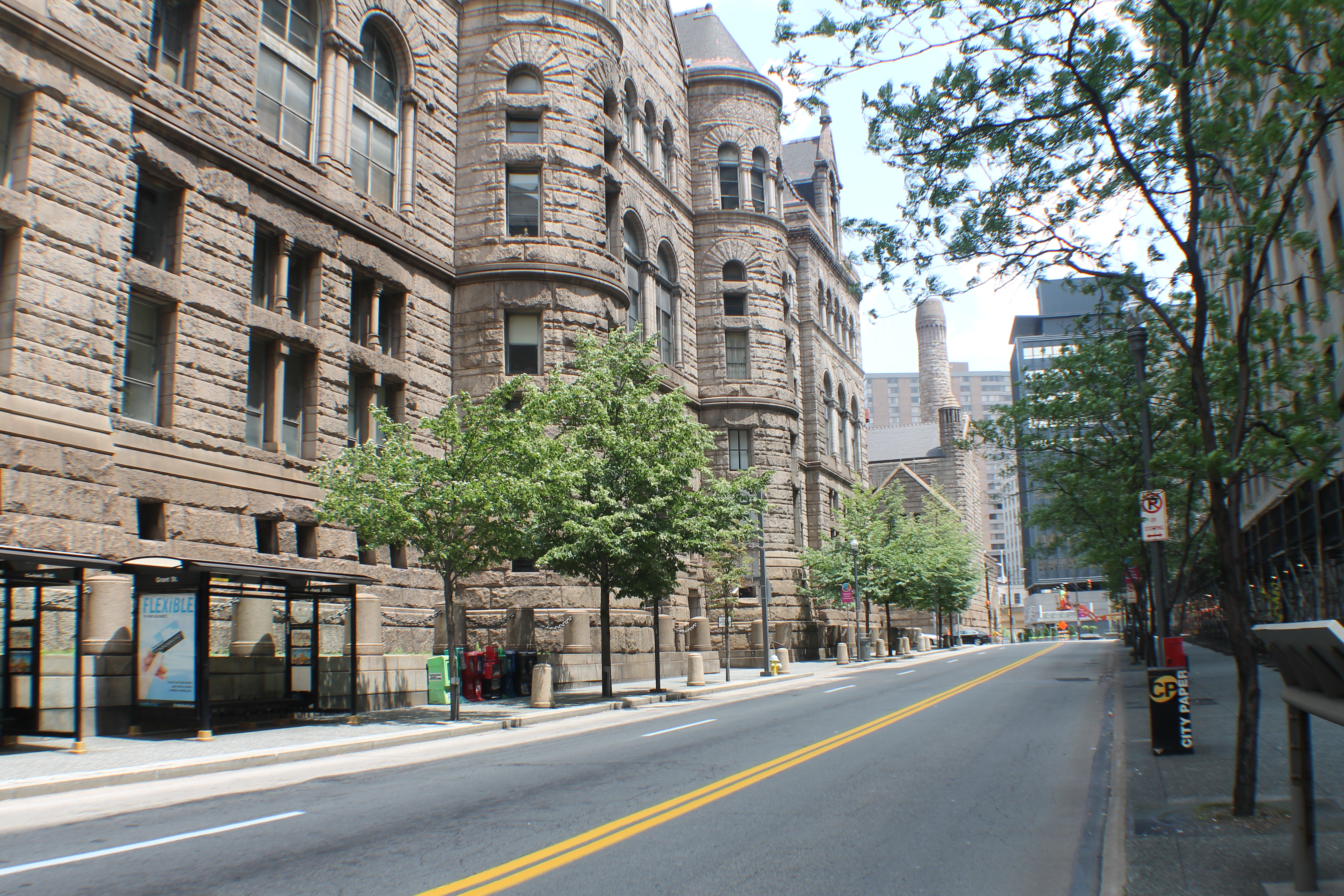
The old Allegheny County Jail. The jail, which was officially closed in 1995, has been masterfully converted into a new combined home of the juvenile and family sections of the Common Pleas Court.
One of downtown Pittsburgh’s most distinctive buildings is the Allegheny County Courthouse, designed in 1883 by renowned architect, Henry Hobson Richardson.
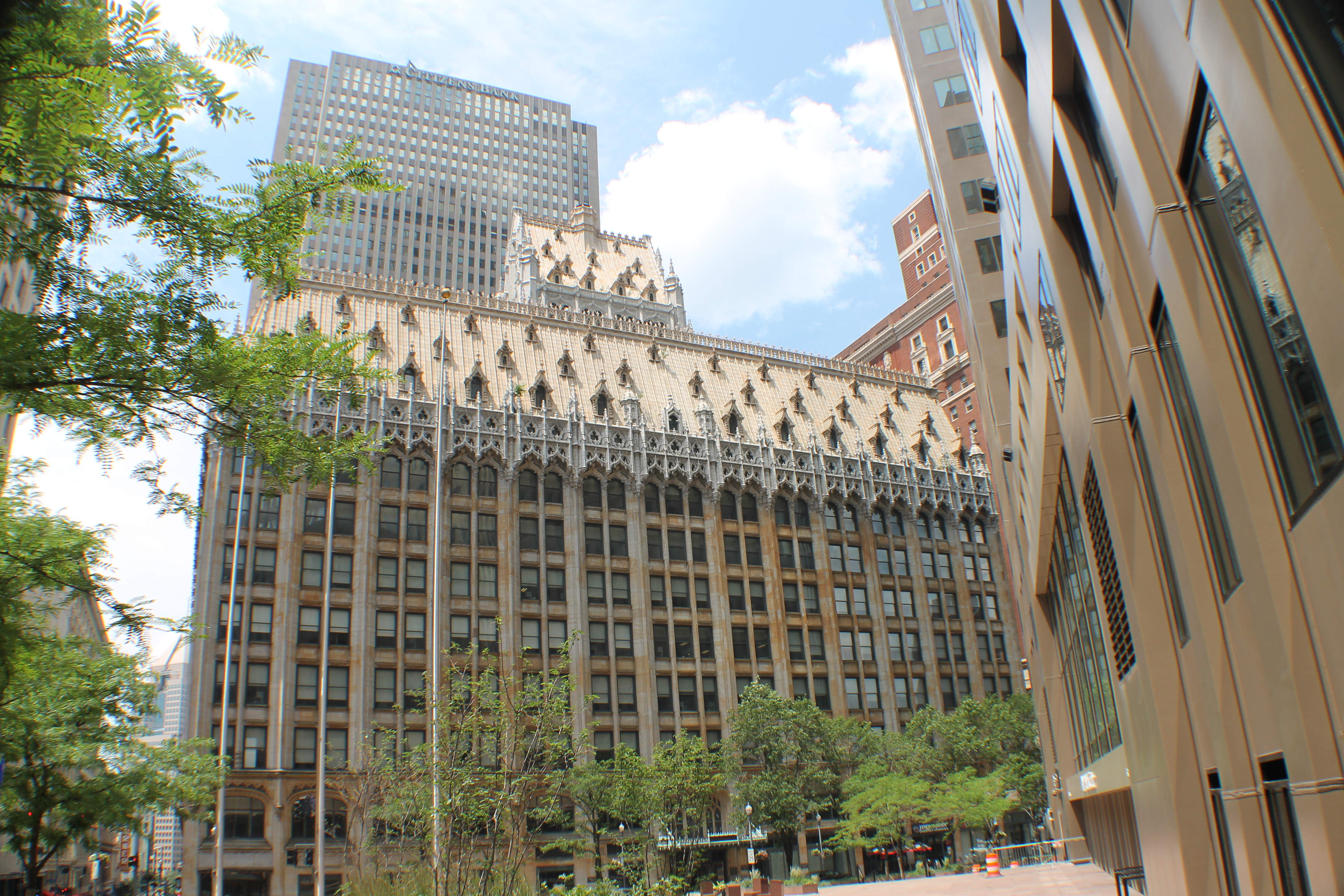
One of the most beautiful buildings in Pittsburgh, Two Mellon Center, formerly The Union Trust Building on Grant Street, was erected in 1915-16. The Flemish-Gothic structure’s original purpose was to serve as a shopping arcade. The building is modeled after the famous Municipal Hall at Leuven, Belgium, partly destroyed during the World Wars.
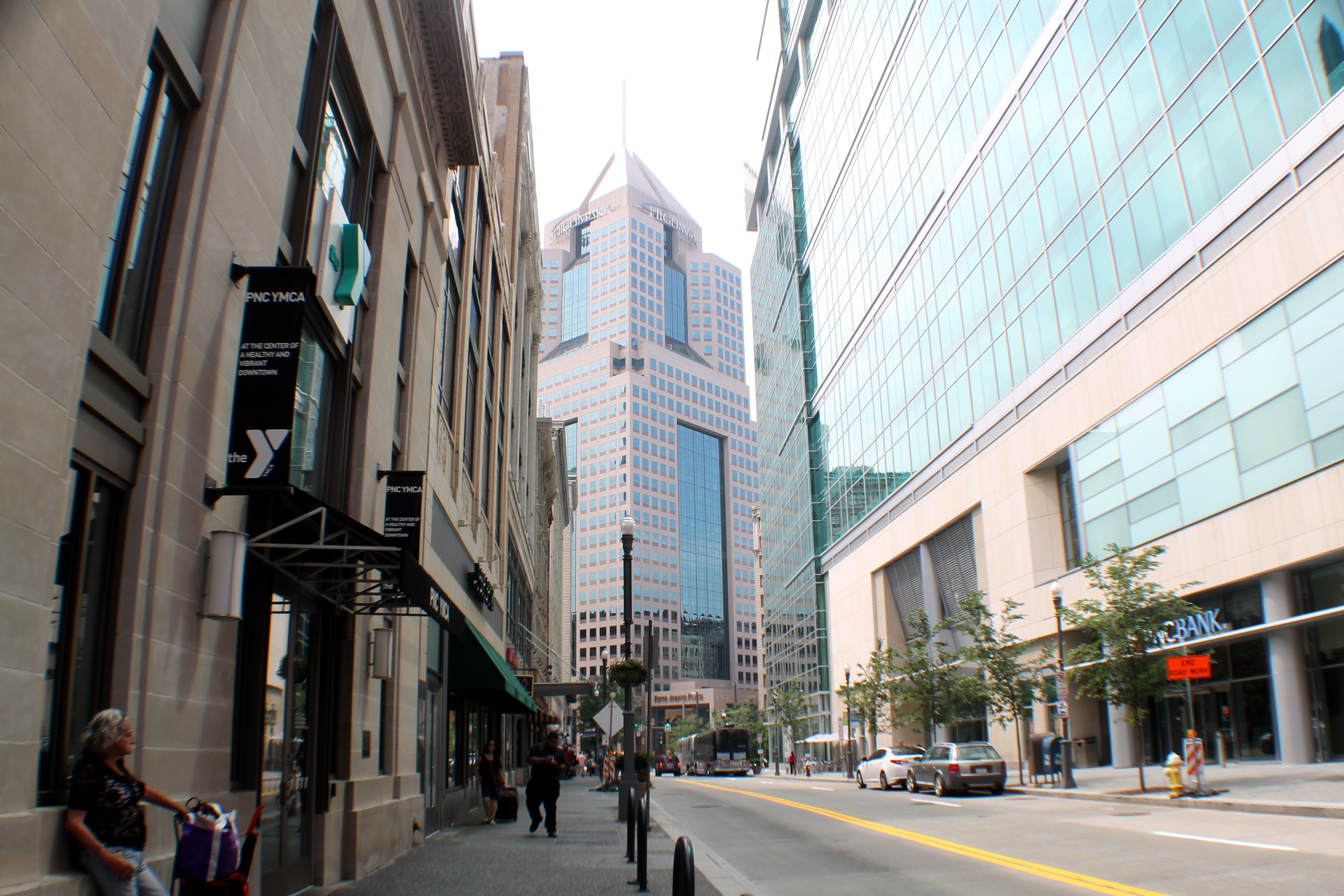
Fifth Avenue Place (originally “Hillman Tower”, sometimes called Highmark Place for its major tenant) is the skyscraper in the back of the picture.
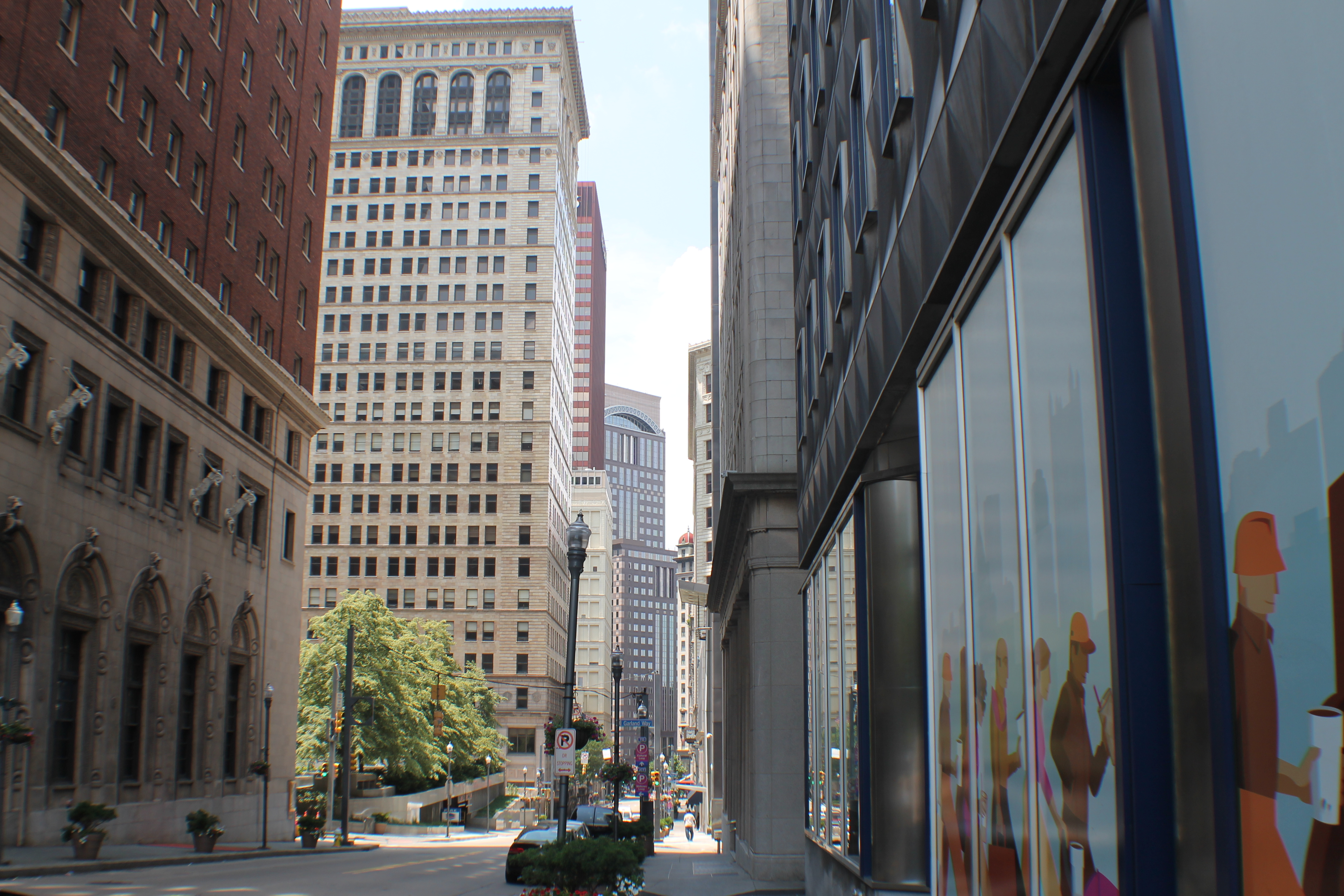
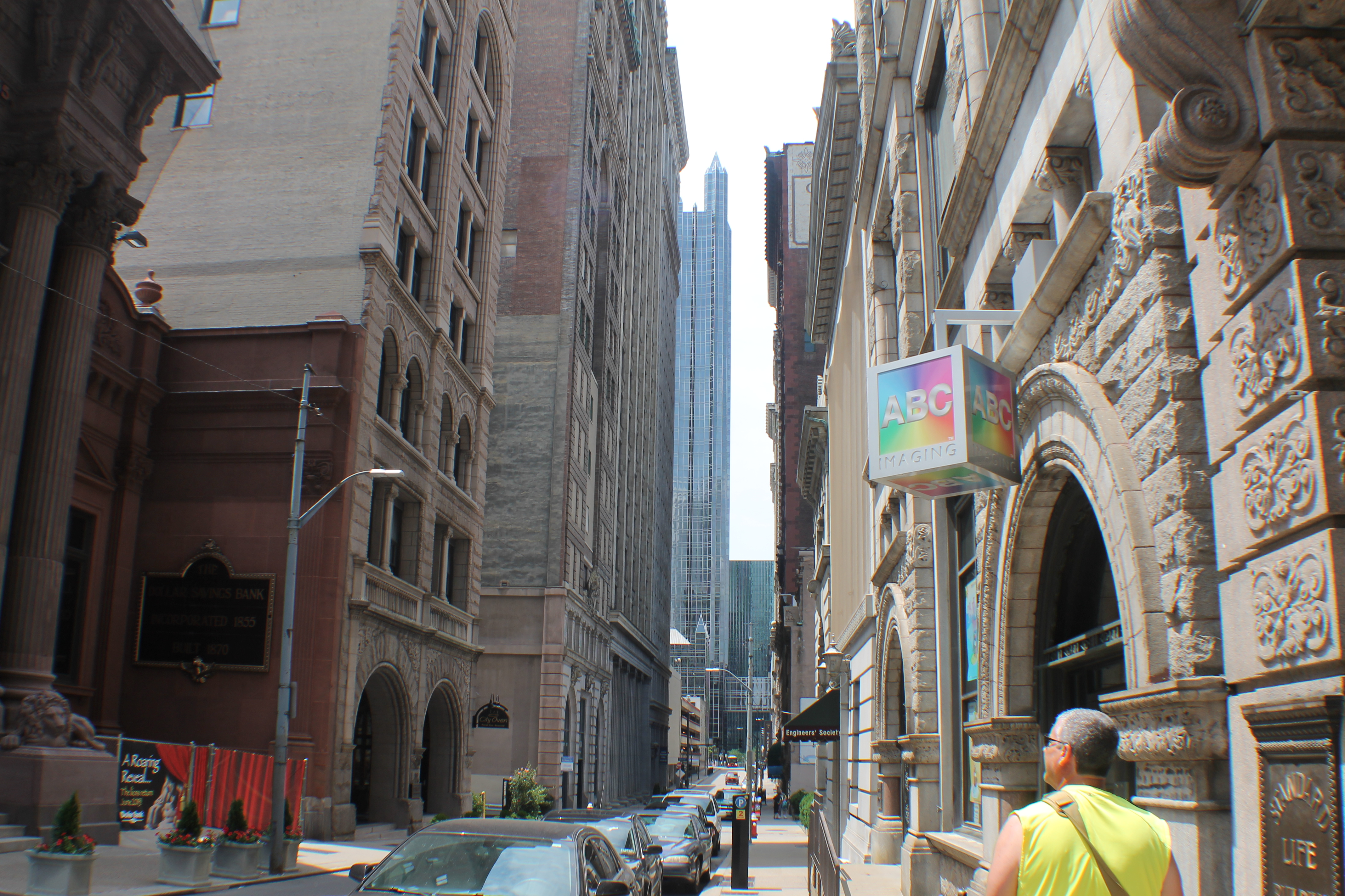
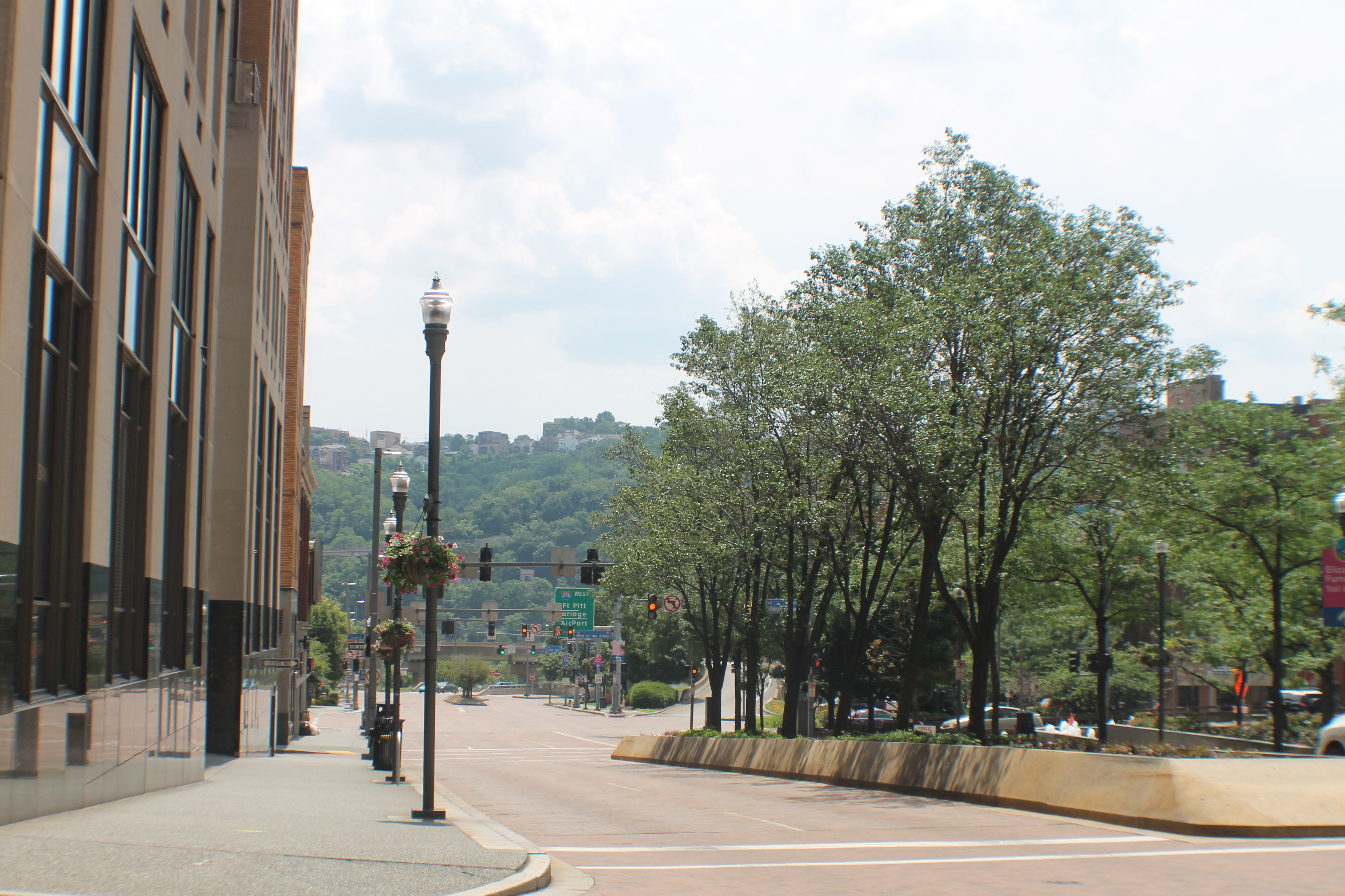
Walking down Wood Street of Pittsburgh.
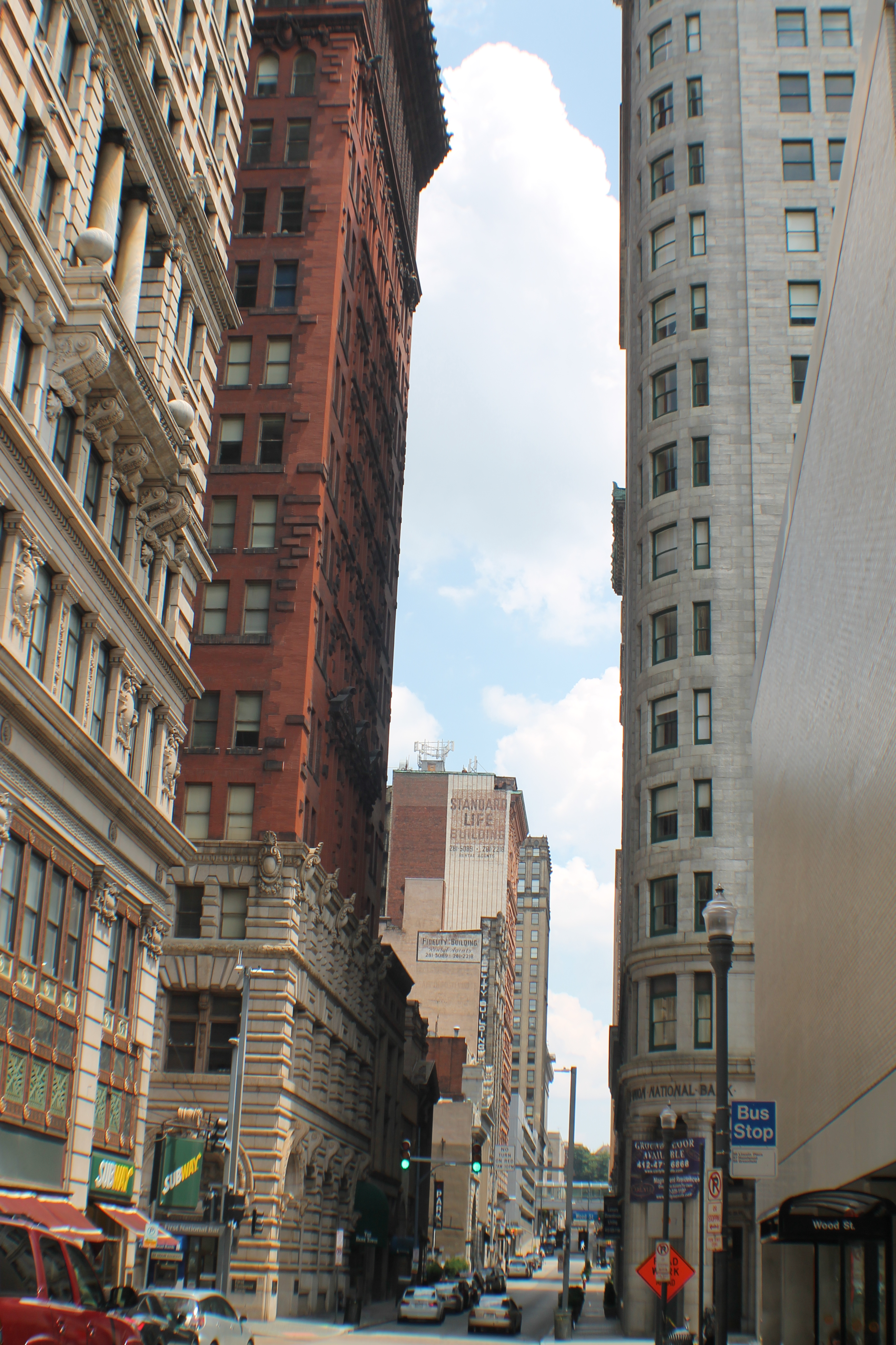
Fourth Avenue is part of the historic district in downtown Pittsburgh. The district was the center of finance and banks for the city during the decades surrounding the turn of the 20th Century. Many ornate structures still exist from that era, including the location of the Pittsburgh Stock Exchange on the corner of Fourth Avenue and Smithfield Street.
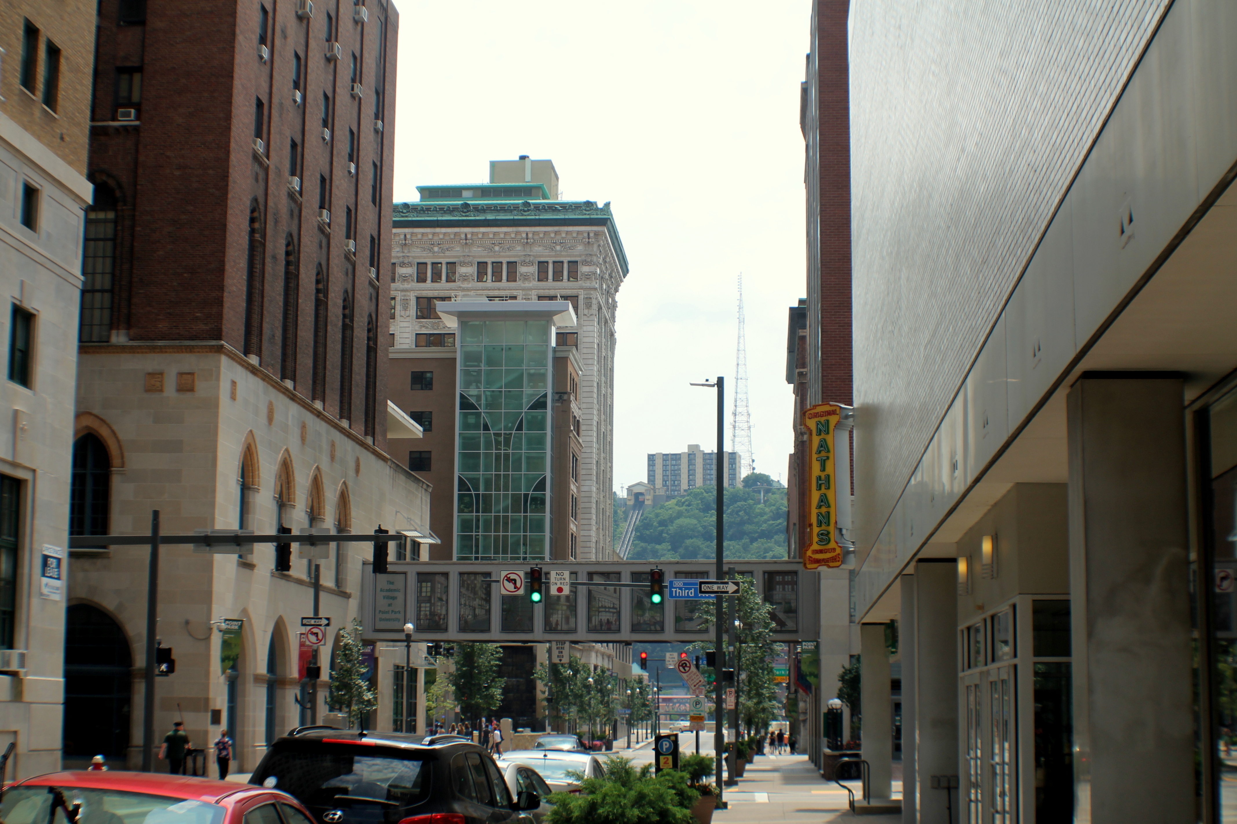
Near Third Avenue. Can you see the Monongahela Incline in the back of the picture?
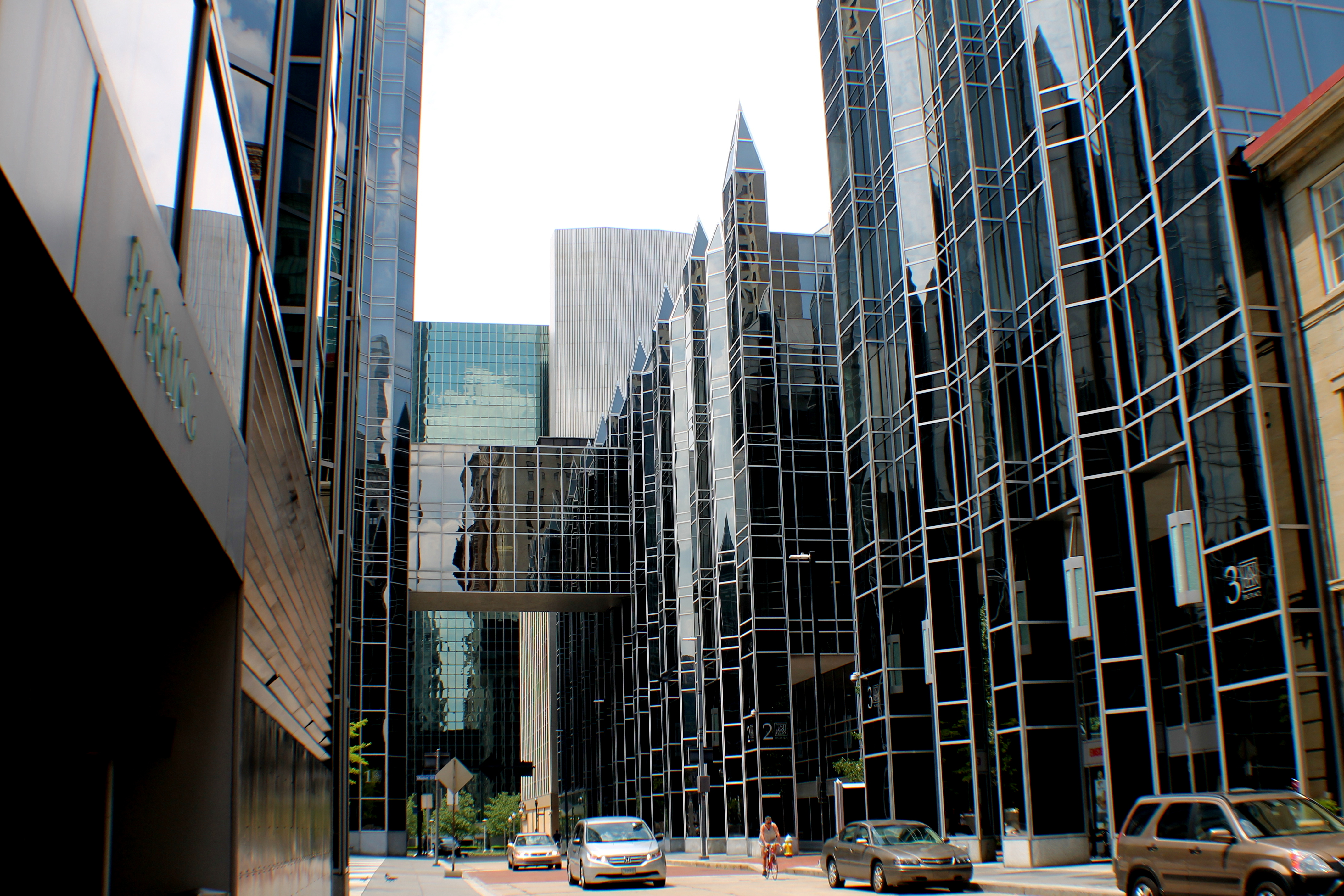
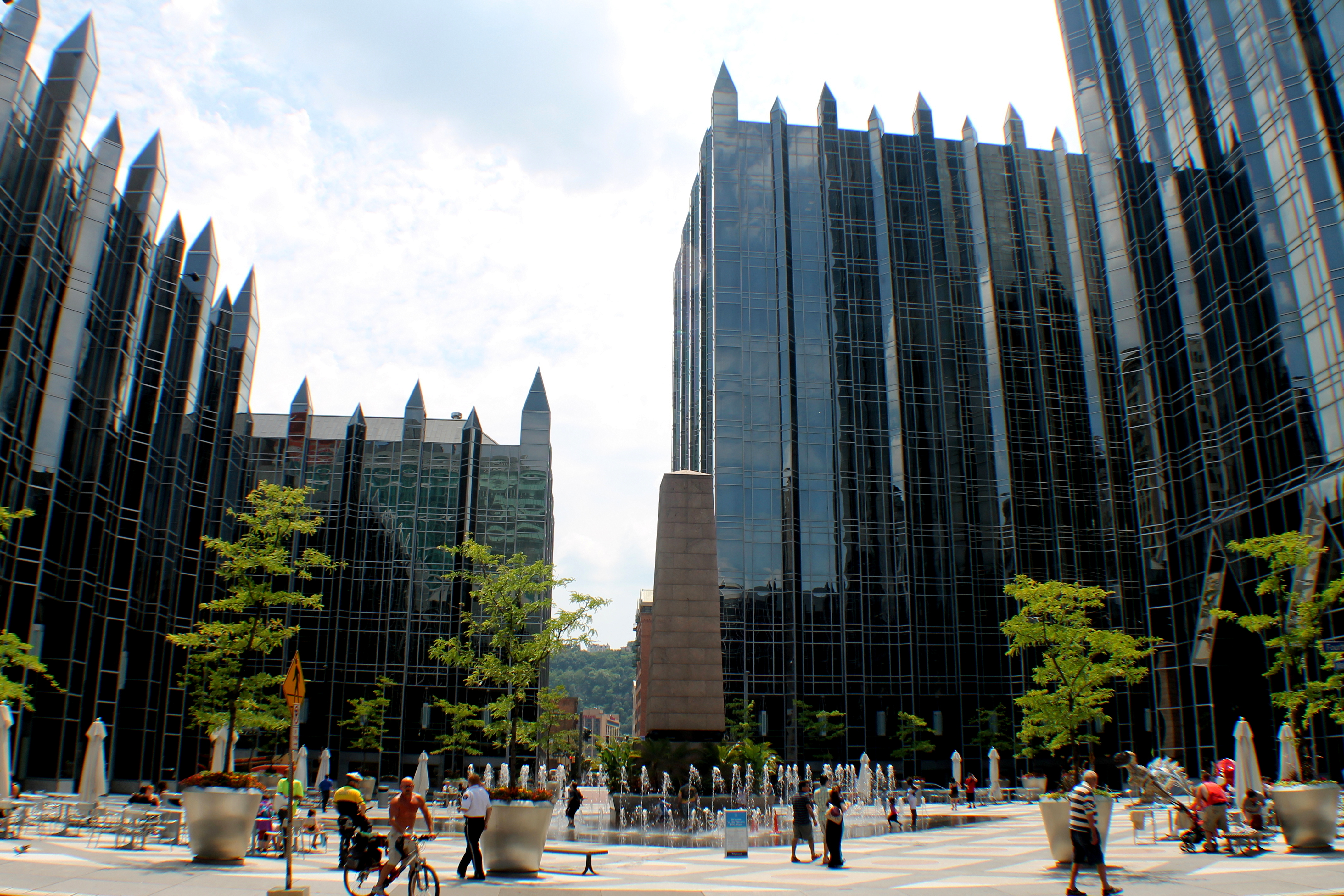
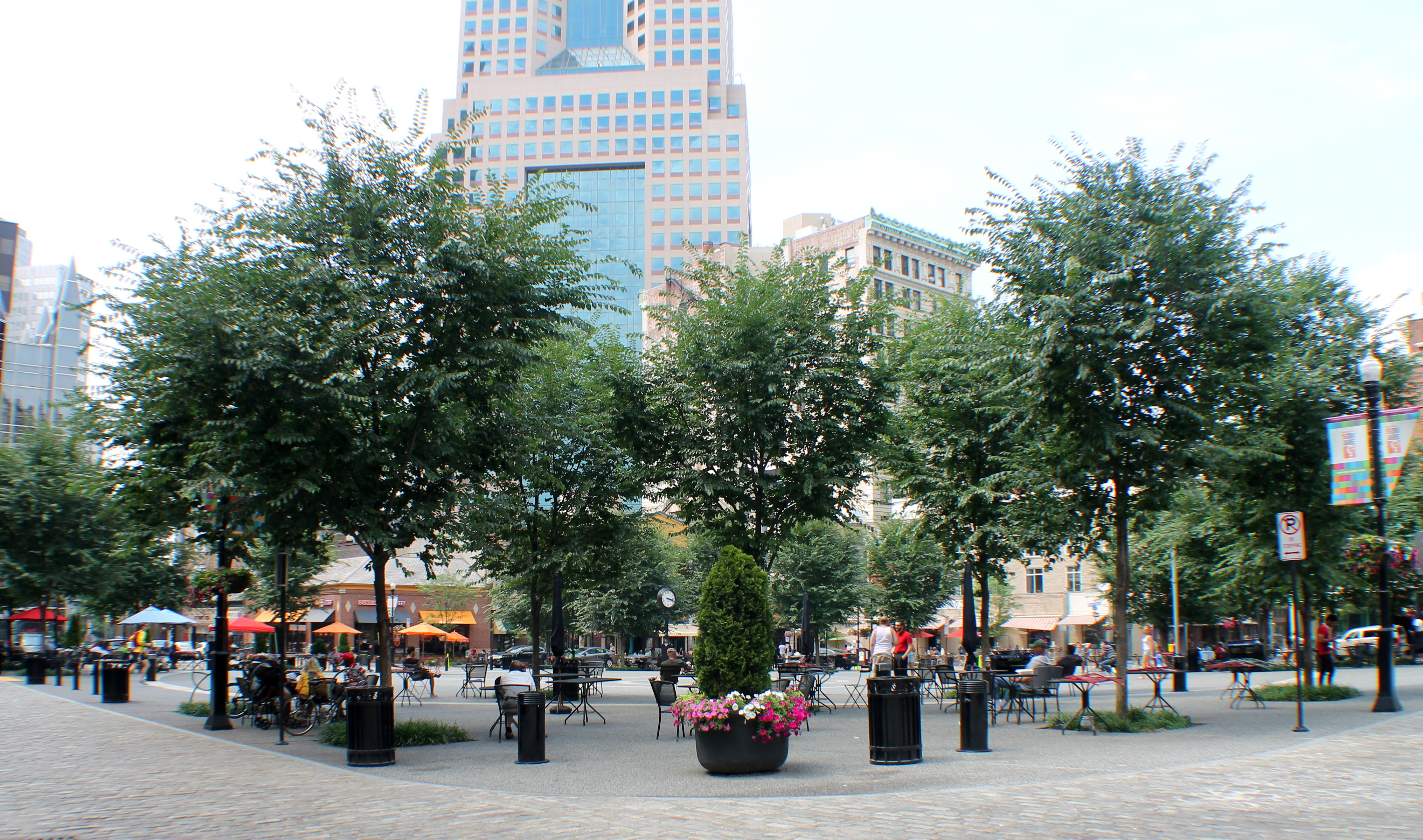
We were impressed by The Plaza at PPG Place. It is absolutely gorgeous! Adjacent to Market Square, the shining six-building complex is the home of both the Wintergarden and The Rink at PPG Place as well as a choice selection of retail shops, a vast food court, and a number of Pittsburgh’s finest firms.
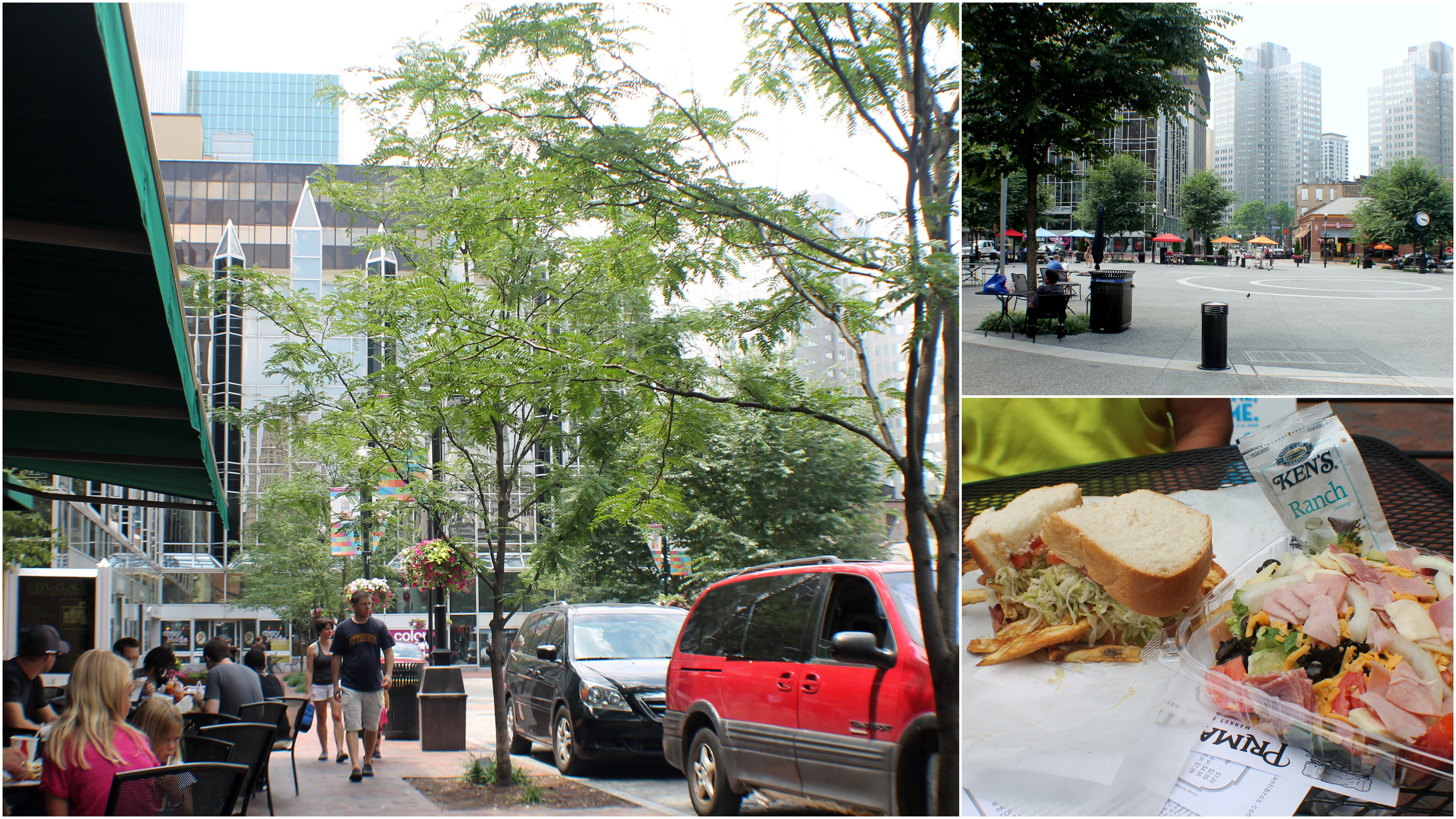
Historic Market Square is the hub of Downtown activity. During weekday lunchtimes, office workers and Downtown students fill the Square. Many grab a bite at one of the various eateries. Others brown bag it in the fresh air at the many comfortable tables and chairs, chatting with friends or surfing the Web on Downtown’s free WiFi.
We had an unusual lunch there in the Primanti Bros cafe on the Market Square. The sandwich was served with the coleslaw and French fries inside the sandwich. The food was delicious, but I still prefer my sides (coleslow and French fries) on the side.
One of many residential areas are seen in the hills.
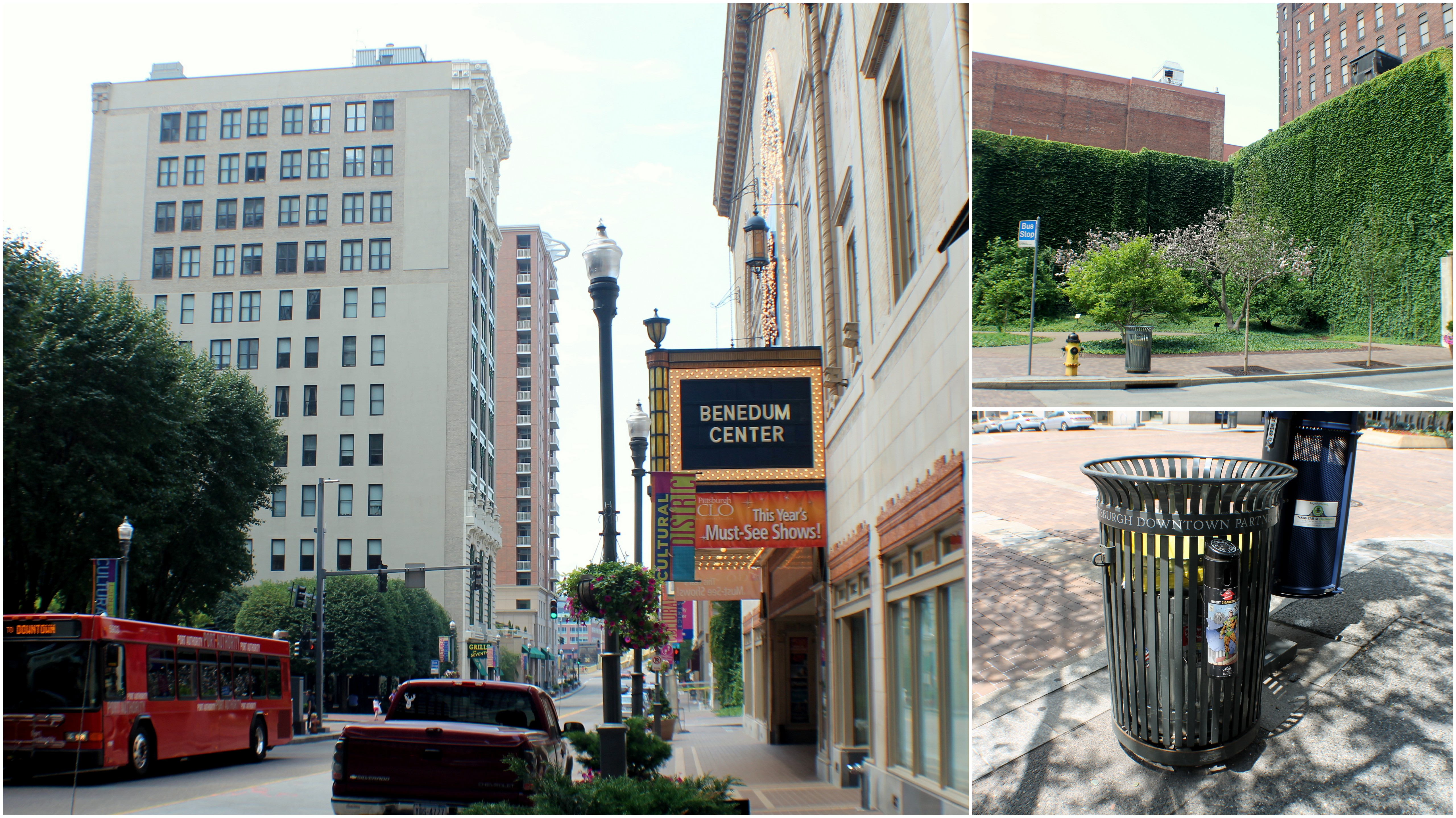
The former movie palace was converted into a full performing arts center – The Benedum Center. It is a focal point of Pittsburgh’s Cultural District. Today the Center is the home of the Pittsburgh Opera, Pittsburgh Ballet Theatre, Pittsburgh Civic Light Opera and the Pittsburgh Symphony.
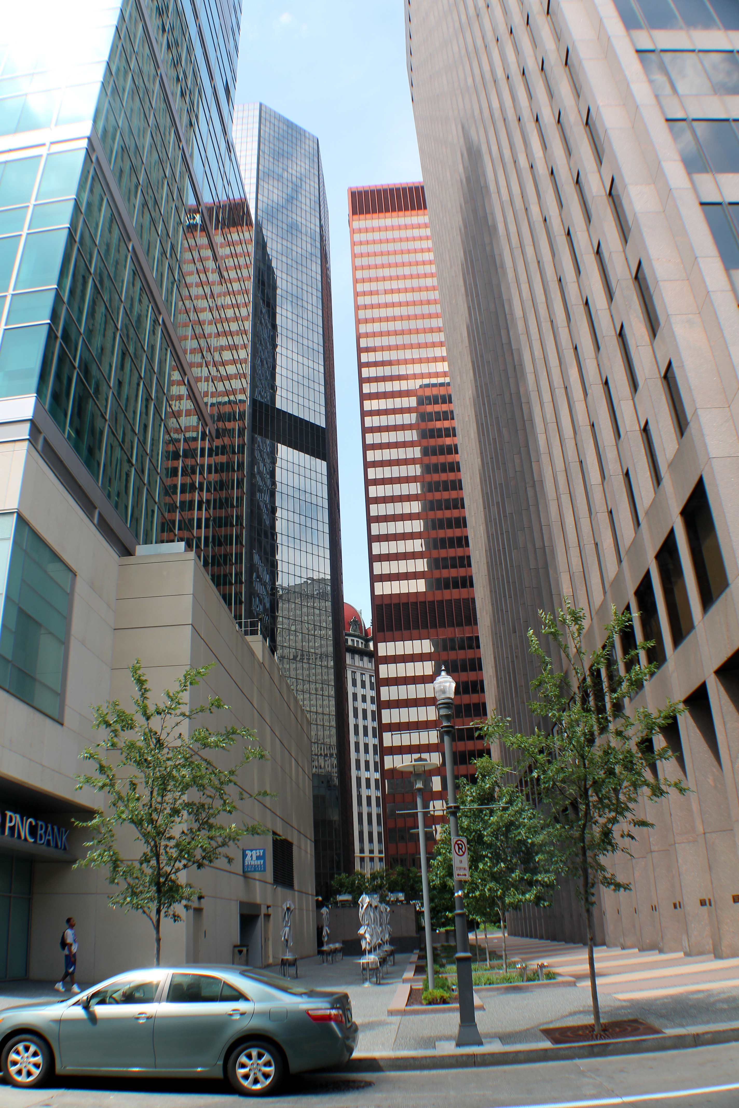
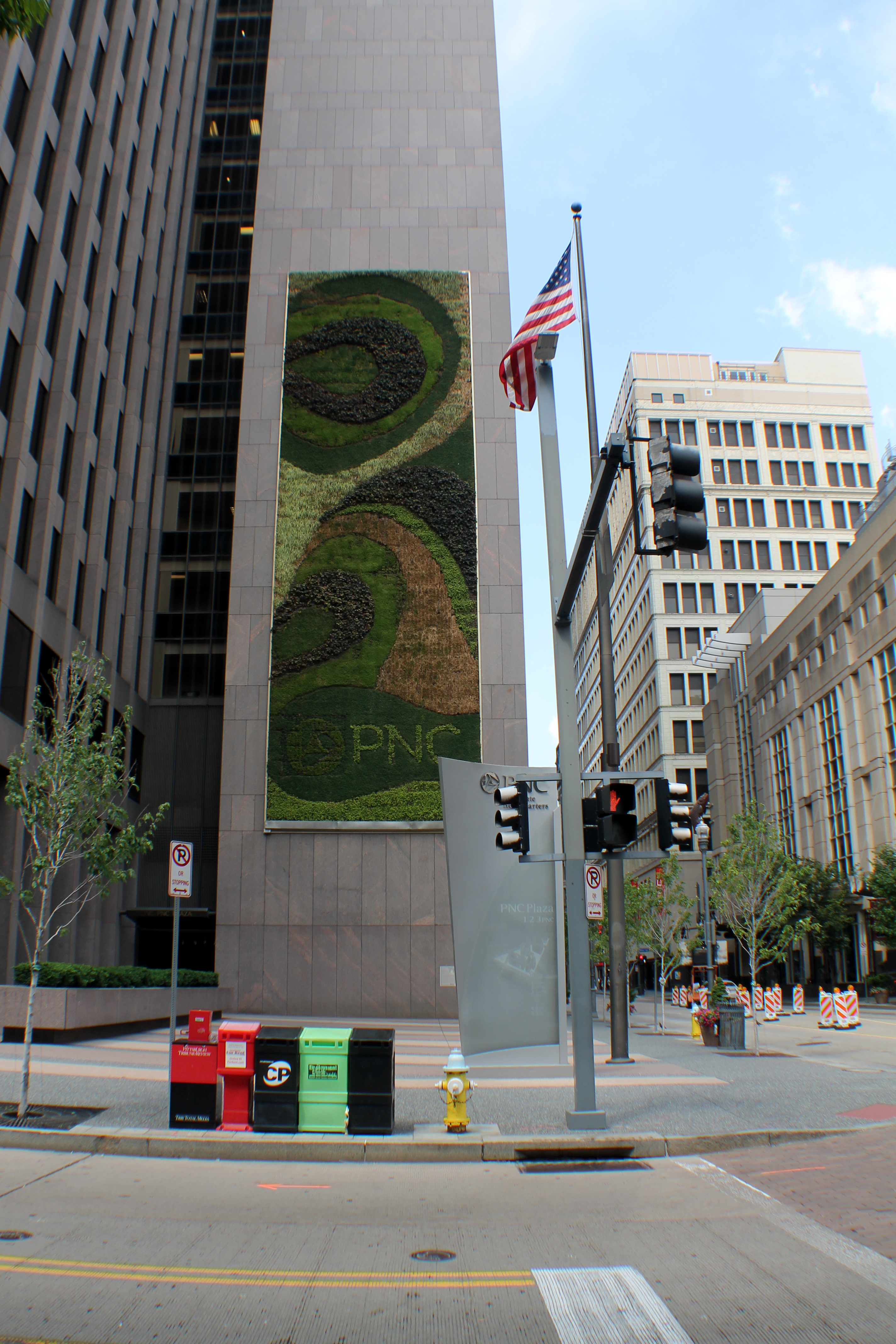
Two PNC Plaza, once known as Equibank Plaza, is a high-rise office building located on Liberty Avenue in the Golden Triangle of Pittsburgh.
Overall, downtown Pittsburgh was much more impressive than I thought it would be, and the Duquesne Incline is a must see if you are in the area.